PCT GeoGuesser
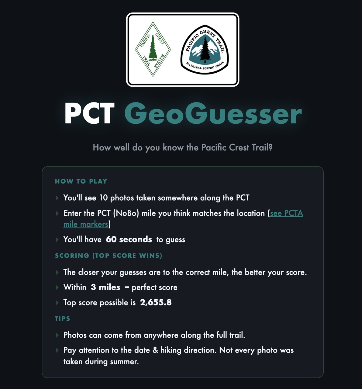
Before I started the PCT, I had a going-away party where friends pulled up photos from along the trail and quizzed me with a makeshift PCT GeoGuesser.
I expected to be terrible at it. I had never hiked the trail, but I had researched and obsessed over it for years. I was shocked by how well I scored.
Even without an obvious landmark, the PCT has its tells: the plants, the rocks, color of the soil, the landscape…. If you’ve spent enough time hiking it, or dreaming about hiking it, the gut seems to be pretty accurate.
I thought it was a fun little game, and a fitting way to start the hike.
Then I hiked it, took an absurd number of photos along the way, and started wondering what to do with them.
So I decided to build this little game for you.
Hope you enjoy it.
Here’s the game: PCT GeoGuesser - pct-geoguesser.economicurtis.com
About building the game
As with many projects like this, the real challenge was getting the data sorted: finding good photos, pinning down the correct mile, and organizing all the metadata.
Once that was done, AI coding tools did most of the work of building the webapp.
Here’s the repo: EconomiCurtis/pct-geoguesser
Scoring
I first tested a simple cumulative-distance score: add up the absolute difference between each guessed mile and the correct mile. The lowest total score won.
However, playtesters found this confusing. People familiar with GeoGuessr expected higher scores to be better, while worse-performing players bragged about their larger scores. Obviously that wouldn’t work.
So I switched to a GeoGuessr style scoring system. It uses exponential decay: your score falls increasingly quickly as your guess moves farther from the correct mile, rewarding more accurate guesses. I scaled the system so that with ten photos, the maximum possible score is equal to the length of the PCT: 2,655.8 points (at least, according to my map in 2026).
The effective distance (\(d_{eff}\)) includes a three-mile buffer, so guesses within three miles of the correct location receive the same maximum score. I’m hoping that means a bunch of people get spot on guesses.
\[ S = \left( \frac{2655.8}{10} \right) \cdot e^{−10\left(\frac{d_{eff}}{2655.8}\right)} \]
\[ where\ \ {d_{eff}} = max(0, |guess − actual| − 3) \]
Bias in photo selection - I favored photogenic landscapes and majestic vistas. Much of the PCT passes through a “green tunnel” of forest. It can be fun to identify a location using only the flora and forest floor, but too many similar forest photos get repetitive.
For the scored game, I added some logic to sample from every major section of the trail and limit how many of those harder forest shots appear in a single round. (If you’re curious, you can see this in the repo in the selectGamePhotos() function.)
To Dos
Hard mode: I’m collecting data on which photos are hardest to pinpoint. From the user testing I’ve done so far, it seems pretty clear that the “green tunnel” images are the most difficult to place. Geology appears to be one of the strongest clues to where a photo was taken. When you are given only vegetation and a bit of trail, it becomes much harder. Some forested areas in Northern California look a lot like similar biomes in Oregon and Washington, so you really have to tease out the clues or simply guess. I’m curious whether people would be interested in a “hard mode” that mainly serves up the most difficult images.
Tournament mode: Who really knows the trail best? As the game currently works, there are several ways to cheat. You could play the scored game repeatedly and simply memorize the photos. There is also a table in the source code linking each image URL to its mile marker, since the game needs that information to calculate scores. I might create a separate set of unreleased photos and use them in a more controlled tournament format.
Show a map: One piece of feedback I’ve received repeatedly is that it would be helpful to show a map with the photo’s actual location, the player’s guess, and the distance between them. That would be a useful addition, but I found it surprisingly difficult to implement, both technically and the UI while keeping it light and easy to work with. It would also be nice to show the locations of all the photos on the final results screen.
Other trails: With a bit of work, the repository could be adapted for other trails with established mile markers. It might be interesting to build versions for the Appalachian Trail, the John Muir Trail, or others.
I appreciate any of your feedback and ideas!
Thanks
Thanks to play testers.
Pocket Sand, Bhagwan (blessed be they name) the “Wisconsin Boyz” Babu and Big Bush, Chair, Minnie, Logistics, Doc Brown, the Positive Potato, dr Sassafrass PharmD esq., My Wife & Children, and That Cantankerous Old Prospector.
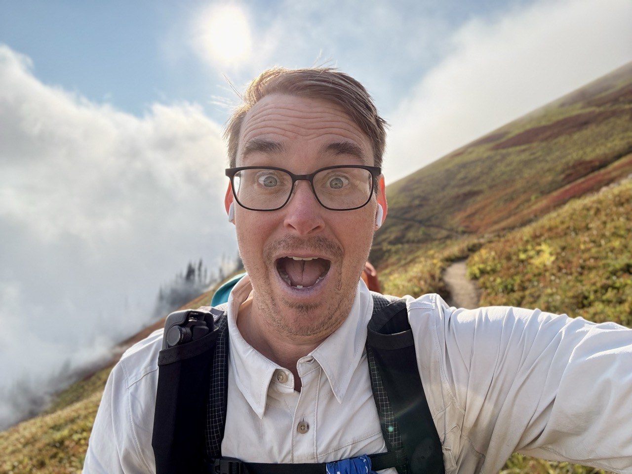
Look how happy I am. Those were the days.