My 2025 Pacific Crest Trail thru-hike - With Hand Drawn Data Visualizations
Why have I written this?
They say the Pacific Crest Trail is the physical, mental, emotional and spiritual experience of a lifetime. But was it for ole’ Curtis? Sadly, I’m not the best writer. If you know me well, you’ll know that I prefer to communicate my feelings thru the language of abstract expressionist choreography1. Unfortunately, the postal service won’t mail a dance.
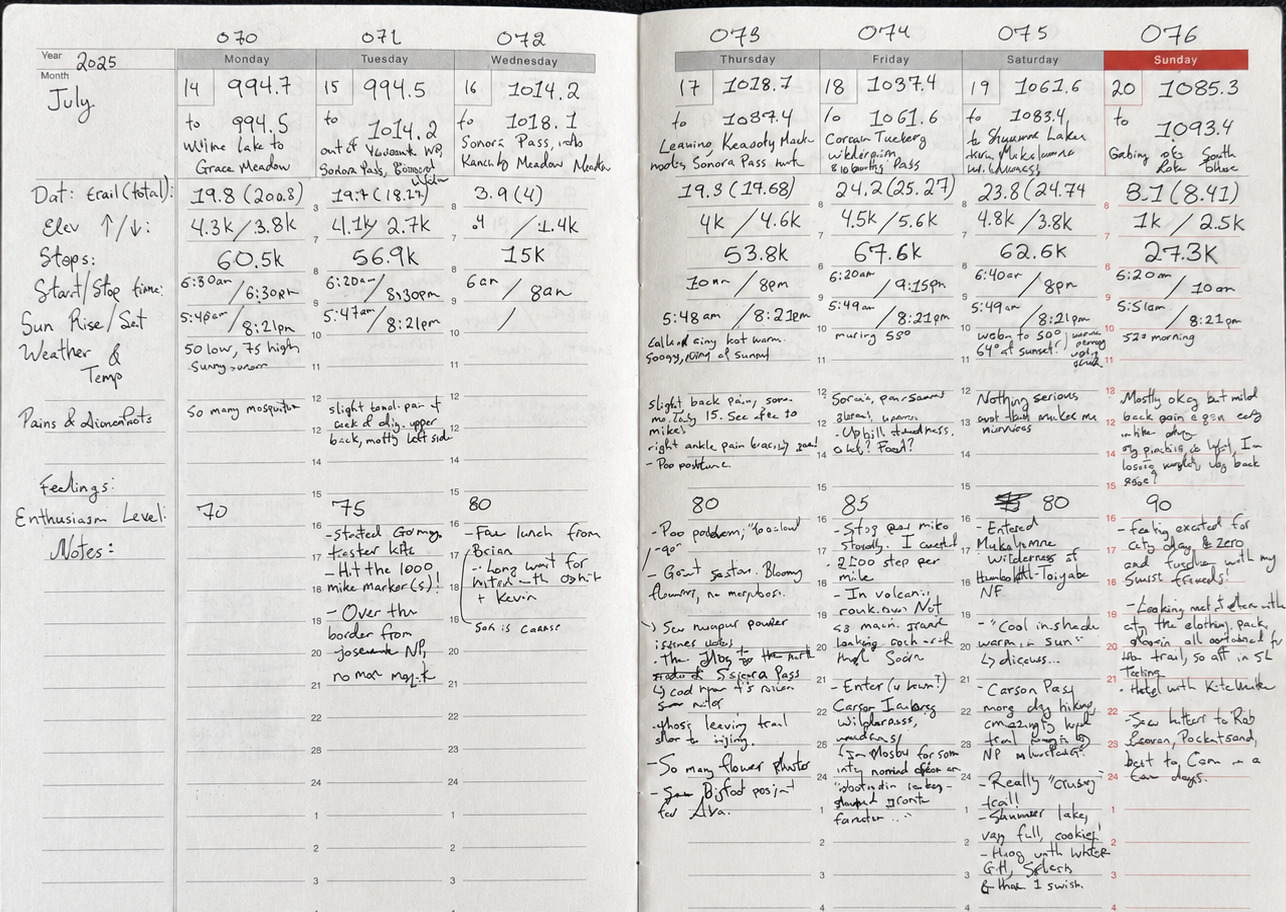
Luckily, I did keep a journal, jotting down the basics about my hike. Daily stats, pains & discomforts my body was feeling, notes and thoughts as I experienced them. Since I can’t perform rhythmically before you,
I thought I’d just aggregate & review those data with you here, with visualizations and some light analysis. Perhaps you can get a sense of what my experience was like that way?
It felt like a significant lifestyle change, but was it statistically significant? --let alone economically significant, generalizable, and reproducible?
Let’s find out.
Ahoy,
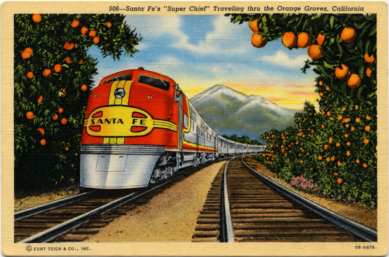
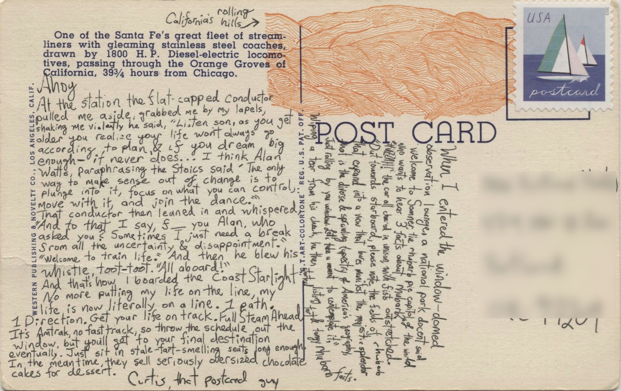
At the station the flat capped conductor pulled me aside, grabbed me by my lapels, shaking me violently he said, “Listen son, as you get older you realize your life wont always go according to plan, & if you dream big enough, it never does…I think Alan Watts, paraphrasing the stoics said ‘The only way to make sense out of change is to plunge into it, focus on what you can control, move with it, and join the dance.’ …That conductor then leaned in and whispered, “And to that I say, ‘f–you Alan Whatts!, who asked you?! Sometimes I just need a break from all the uncertainty & disappointment.’”
He blew his whistle, toot-toot. “All aboard!”
And that’s how I’m boarded the Coast Starlight.
Welcome to train life. And, for me, soon, Trail Life. No more putting my life on the line, my life is now literally on a line. One path. One direction. Get your life on track. No sidetracks. Full steam ahead.
It’s Amtrak, no fast track, so throw the schedule out the window, but you’ll get to your final destination eventually. Just sit in this stale-fart smelling seat long enough. In the meantime, they serve seriously oversized chocolate cakes for dessert.
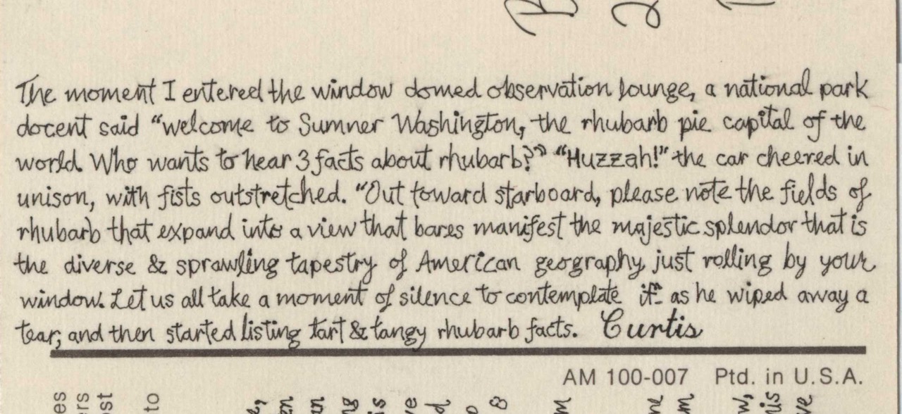
The moment I entered the window domed observation lounge, a national park docent said “Welcome to Sumner Washington, the rhubarb pie capital of the world. Who wants to hear 3 facts about rhubarbs?” “Huzzah!” the car cheered in unison, with fists outstretched. “Out toward starboard, please note the fields of rhubarb that expand into a view that bares manifest the majestic splendor that is the diverse & sprawling tapestry of American geography just rolling by your window. Let us all take a moment of silence to contemplate it” as he wiped away a tear, and then started listing tart & tangy rhubarb facts.
~ Uncle Curtis
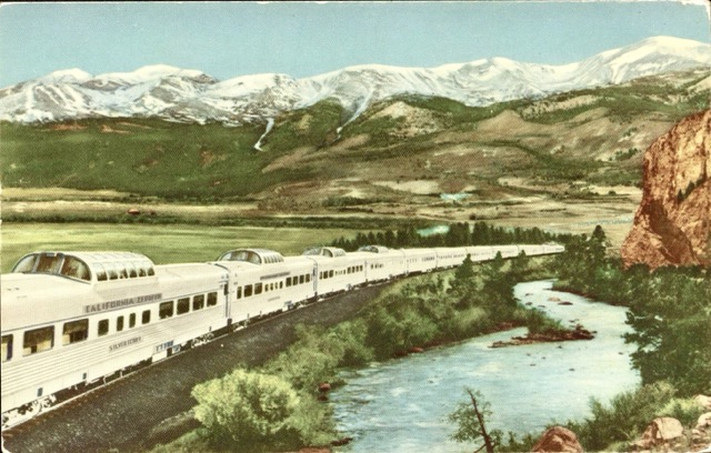
Day one. Or maybe day zero? Day negative-one? I caught a shuttle from San Diego and camped at the border on May 5th, the day before my permit officially kicked off.
At the southern terminus, about a half-mile from the huge USA/Mexico border wall and trail monument, there’s a campsite at a horse rodeo area called CLEEF. For something like $15, you get a campspot, a cozy fireplace area, and a hearty breakfast, plus you meet dozens of other hikers, all on their first day.
When I started a 1000-mile PCT section hike here in 2016, most of us were novices then — only a handful had done any thru-hiking or anything like the Appalachian Trail or John Muir Trail before, and those who had stood out. This time, it felt like nearly half the group were seasoned thru-hikers, and even the first-timers seemed well-prepared. It’s a niche trail -- only approx. 4500 thru-hiker permits per year, maybe a few thousand actually complete it. And it takes months of your life to complete, so you might think it’s a tricky thing to prepare for. But it seems like everyone who does the trail really wants to share afterwards (I guess, me too, here). So the knowledge base has exploded: there are dozens of books out there, thousands of online trail diary blogs, vlogs, gear guides, so much on social medias.
The CLEEF folks put on an hours-long talk in the evening. It felt like college orientation. They dove into broad trail advice: how to stay safe, Sierra stream crossings, hitches; what they felt folks weren’t getting in normal prep for the trail. Mostly positive & encouraging, but they seemed to want to give us a heads up on a bunch of ways we might have a bad time.
One slightly foreboding detail that stuck out: they mentioned that just about everyone who thru hikes the full trail will have at least one night in which they cry themselves to sleep. Whether it’s because of discomfort from the weather, an injury, or a mean trail family — whatever — if you don’t have a night like that, you’re really not having the full PCT experience, apparently.
But also, while the trail can be hard, that’s okay, that’s normal.
So … something to look forward to.
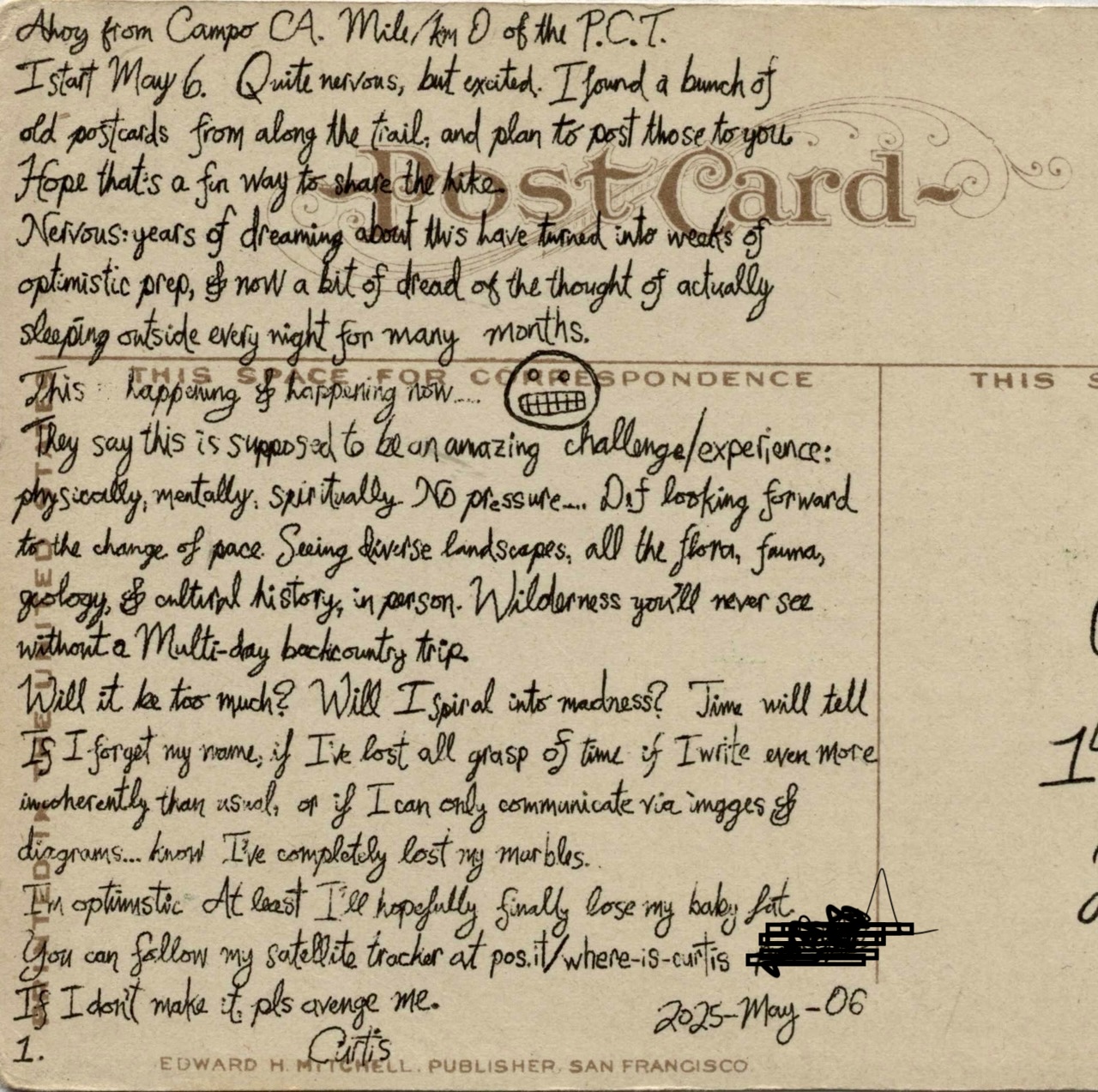
Ahoy from Campo CA. Mile/km 0 of the P.C.T.
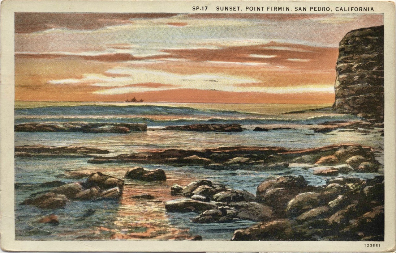
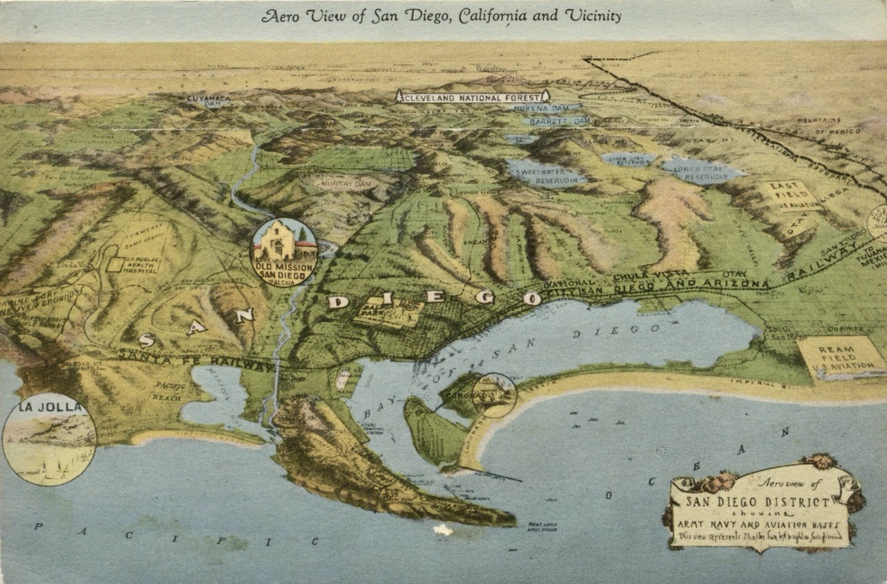
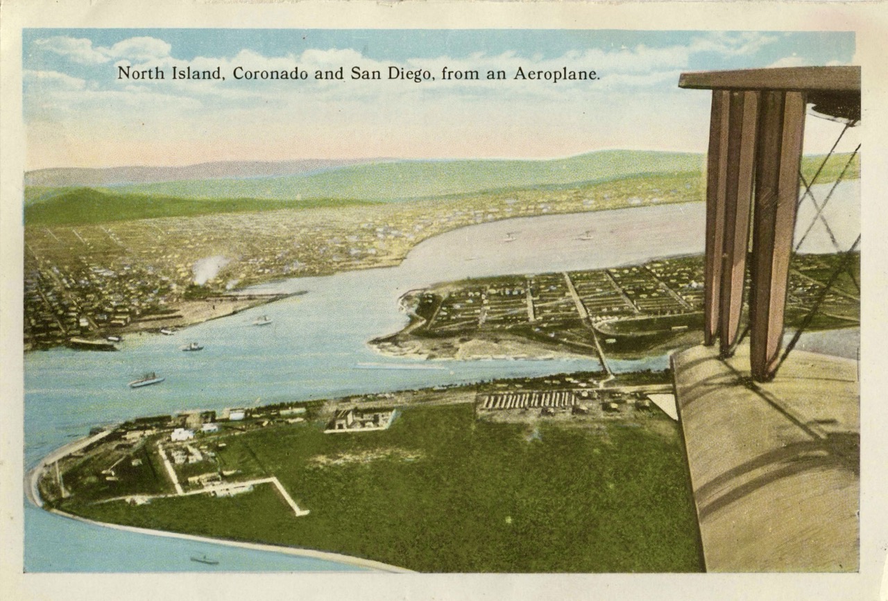
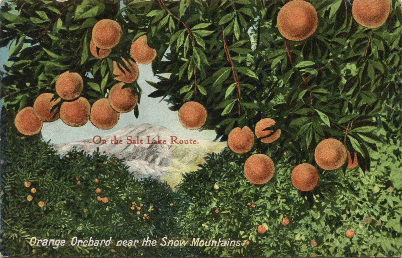
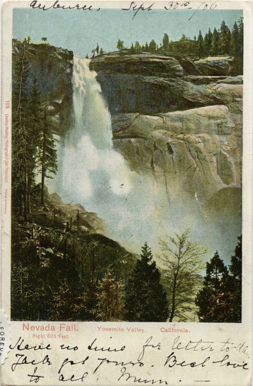
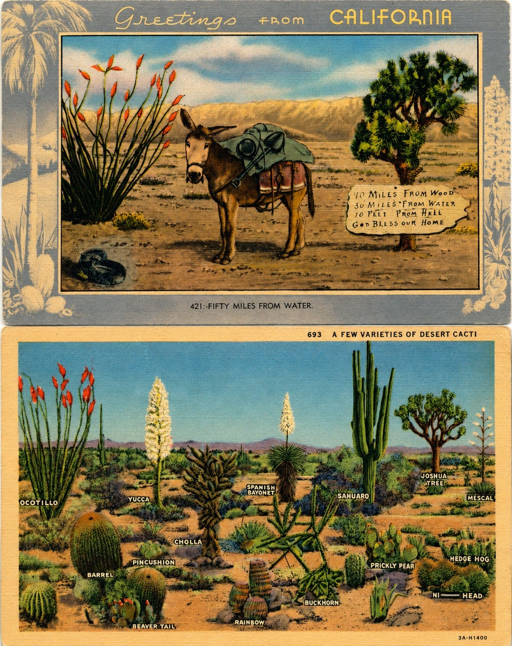
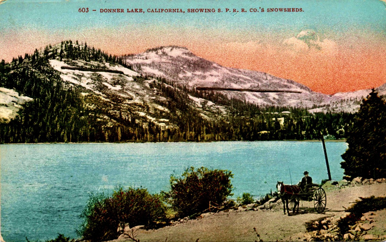
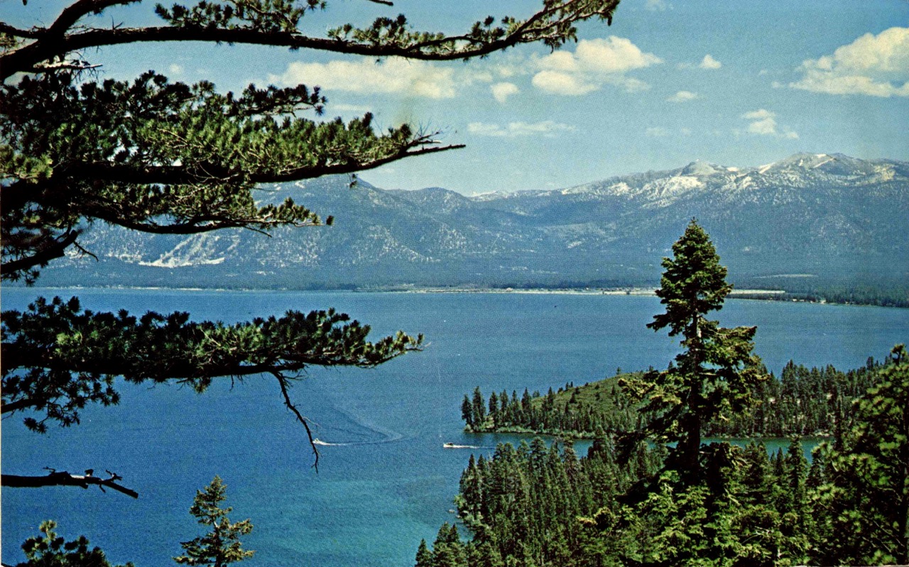
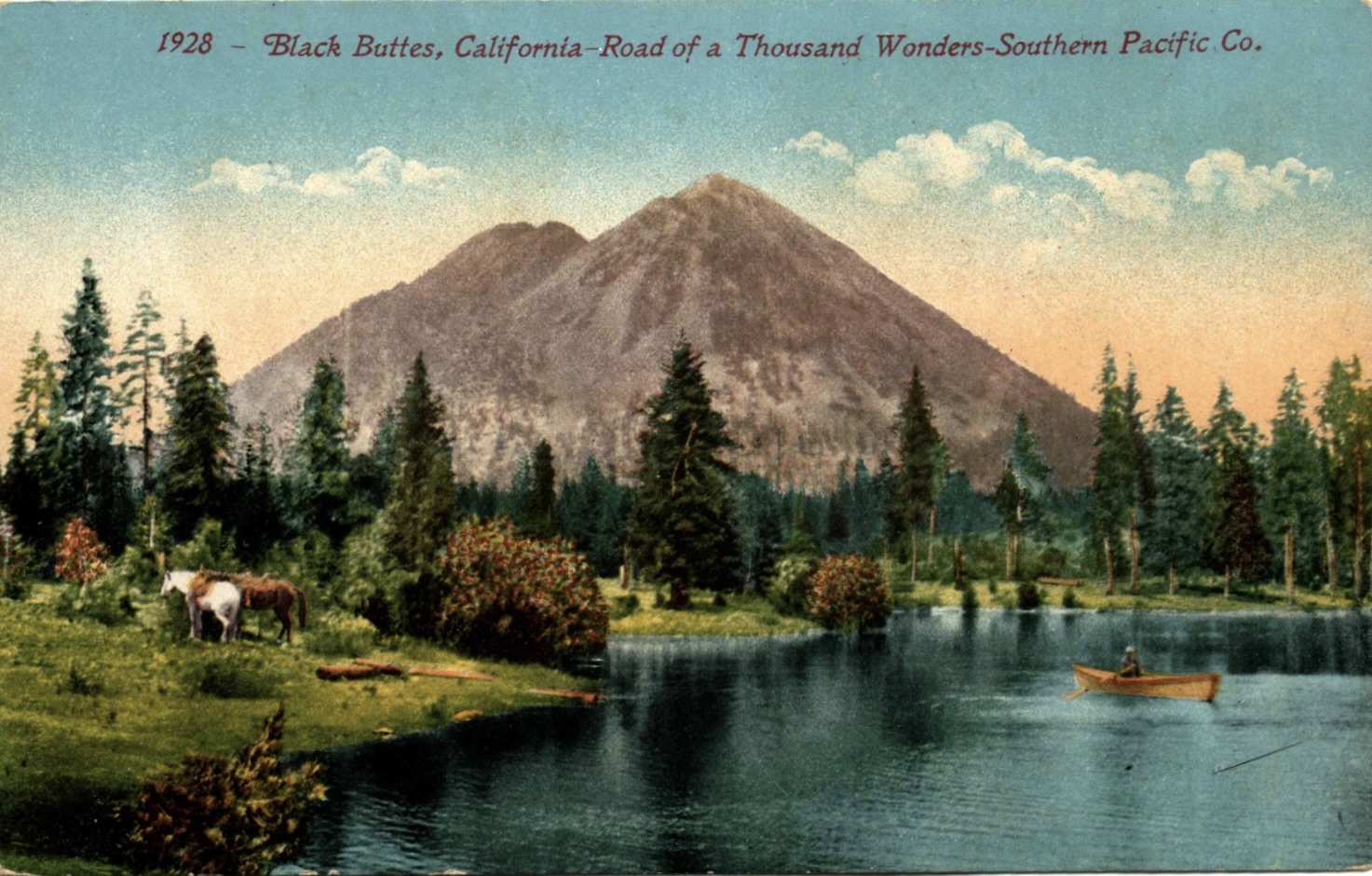
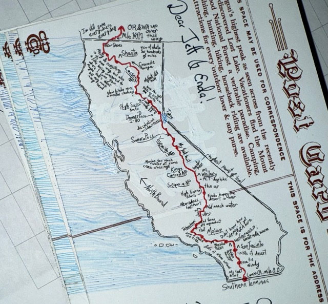
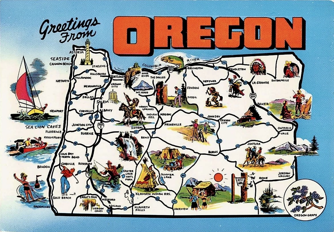
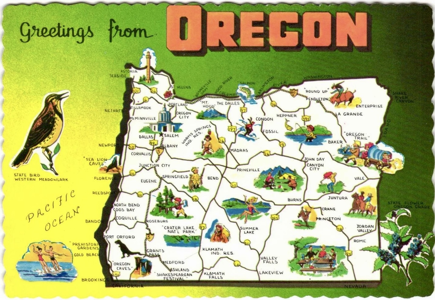
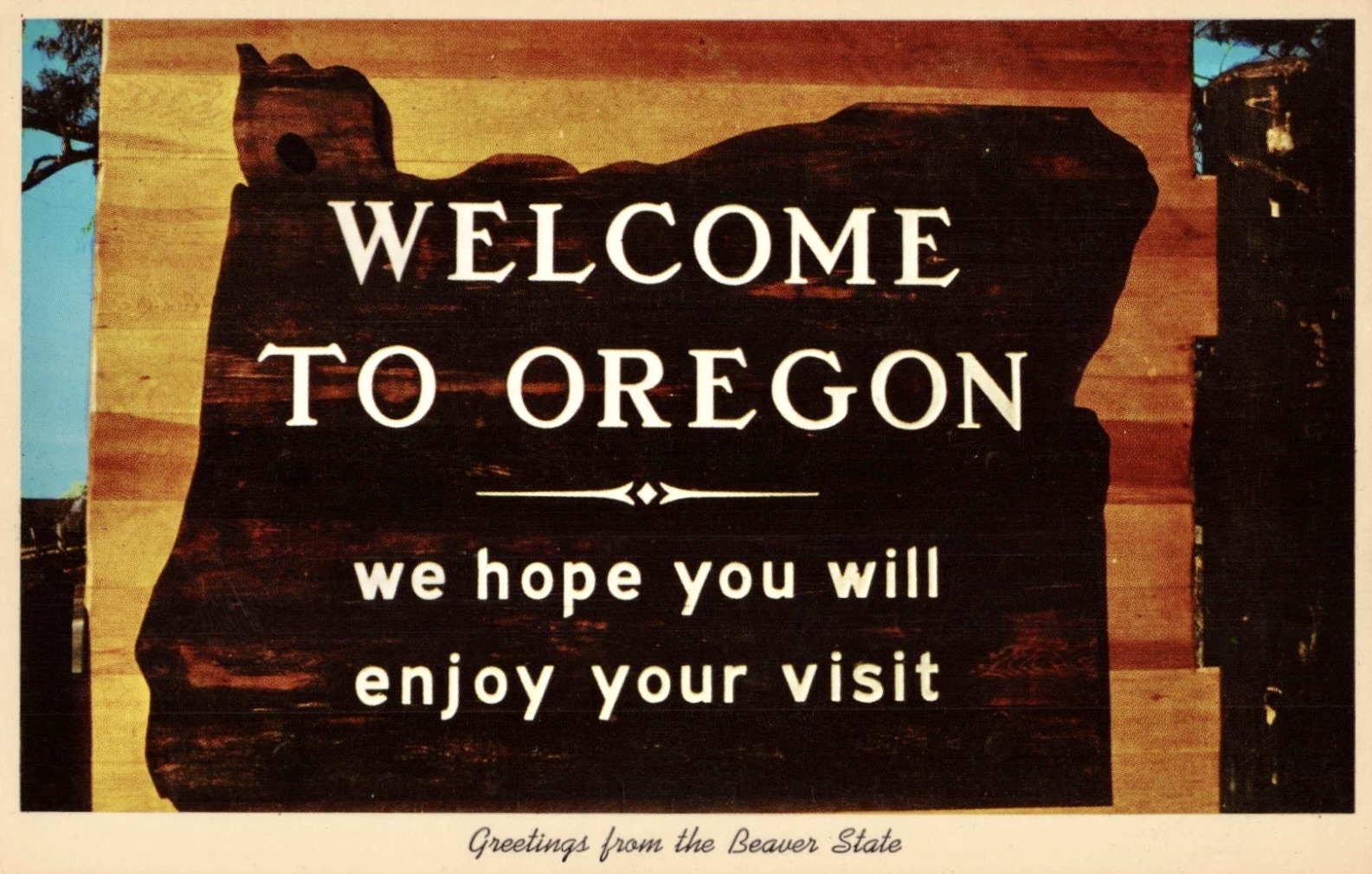
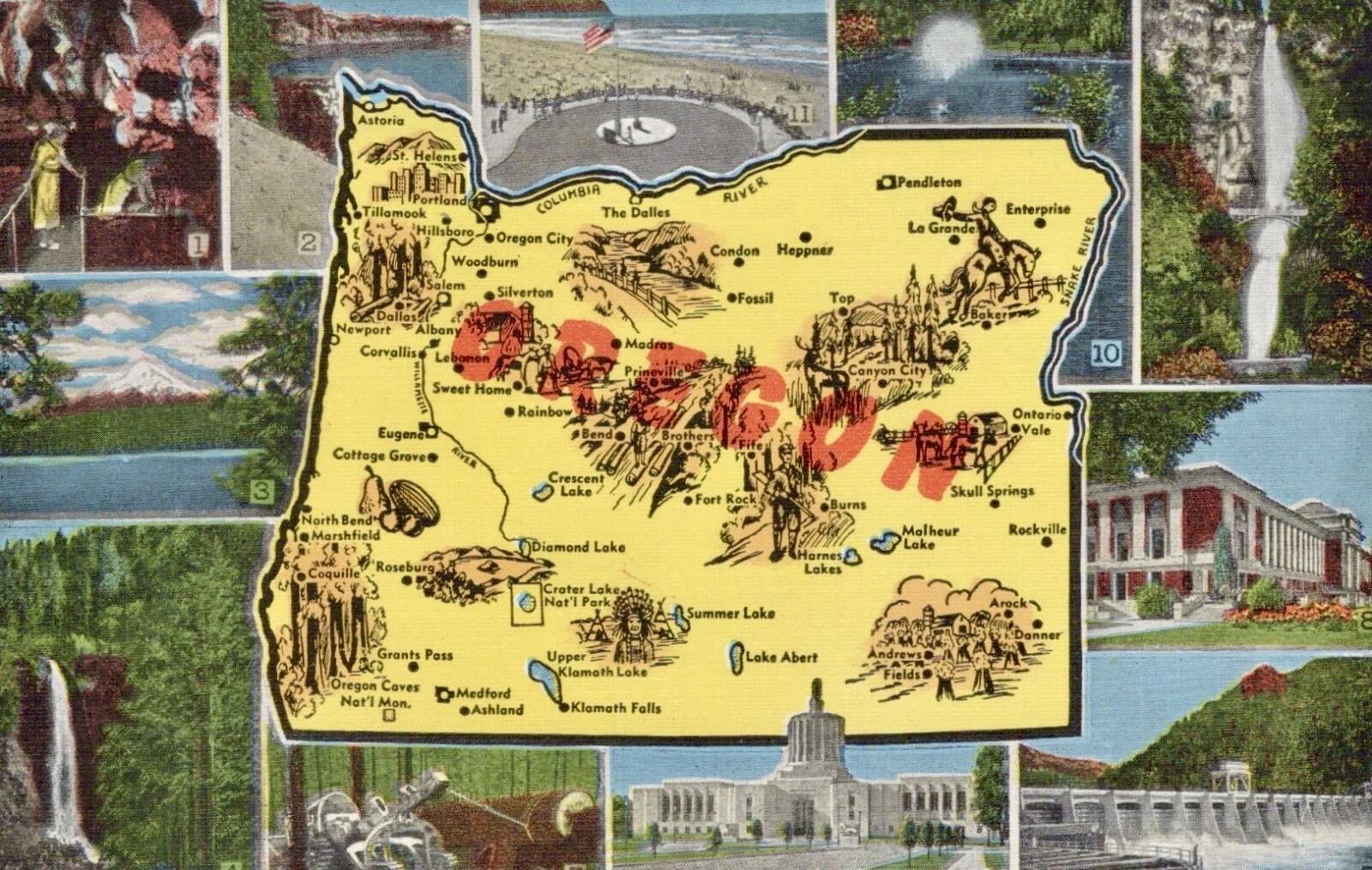
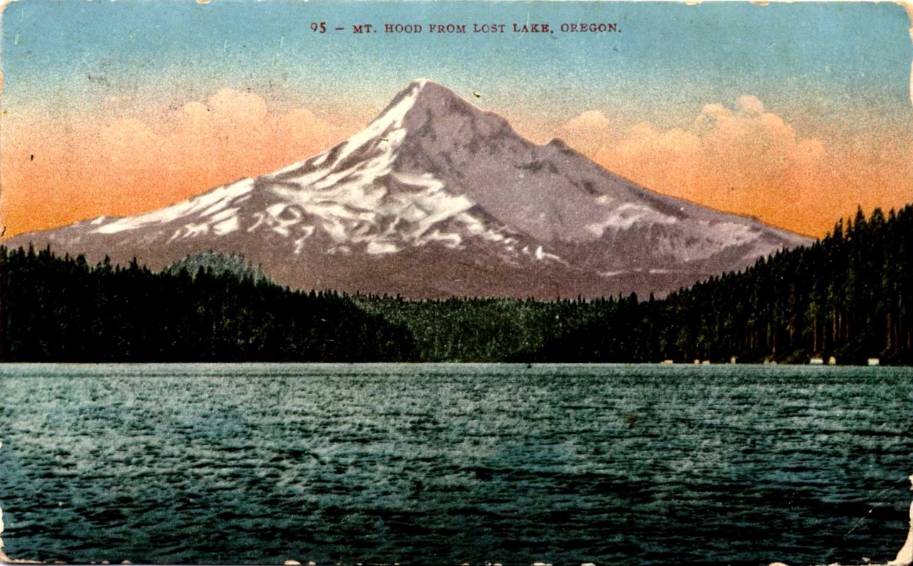
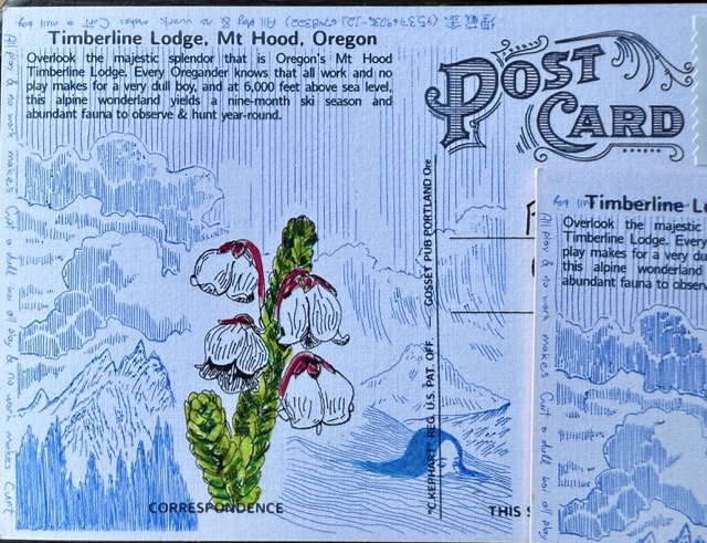
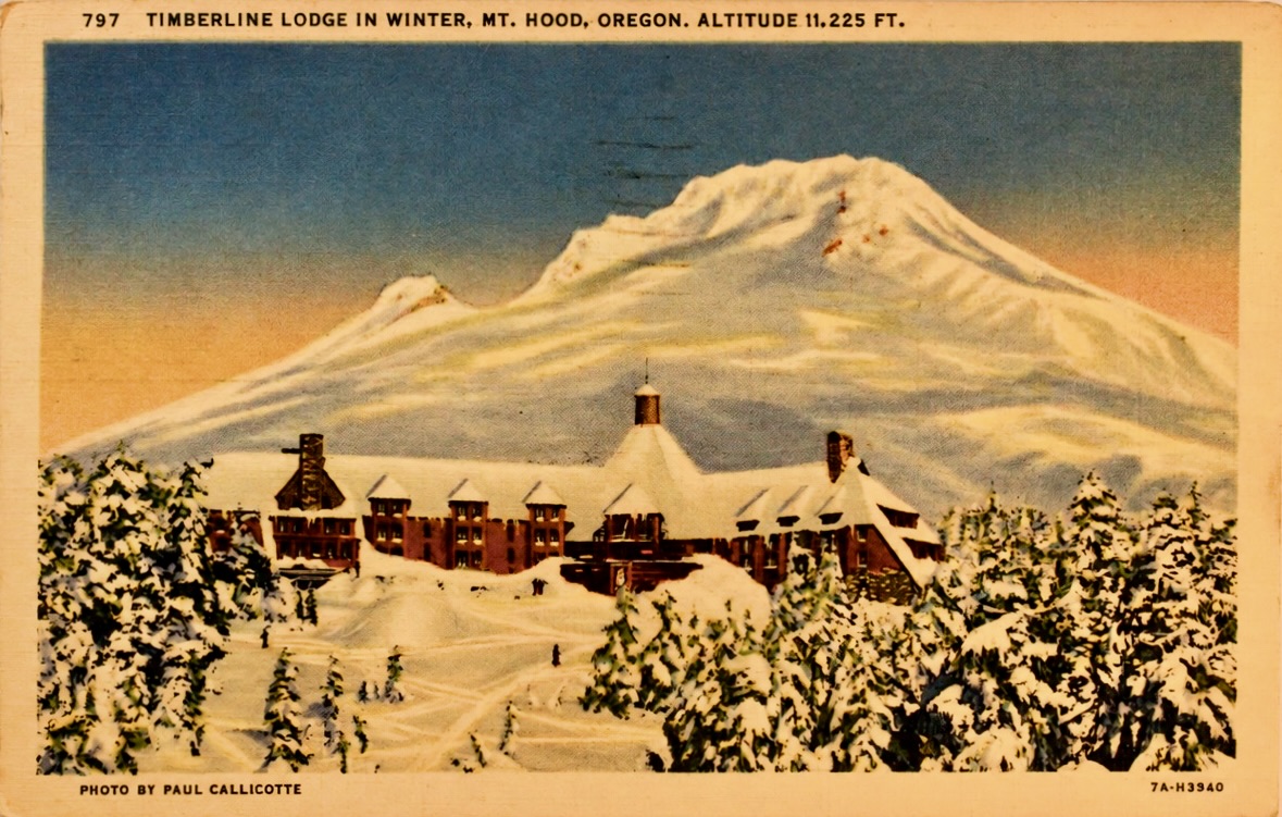
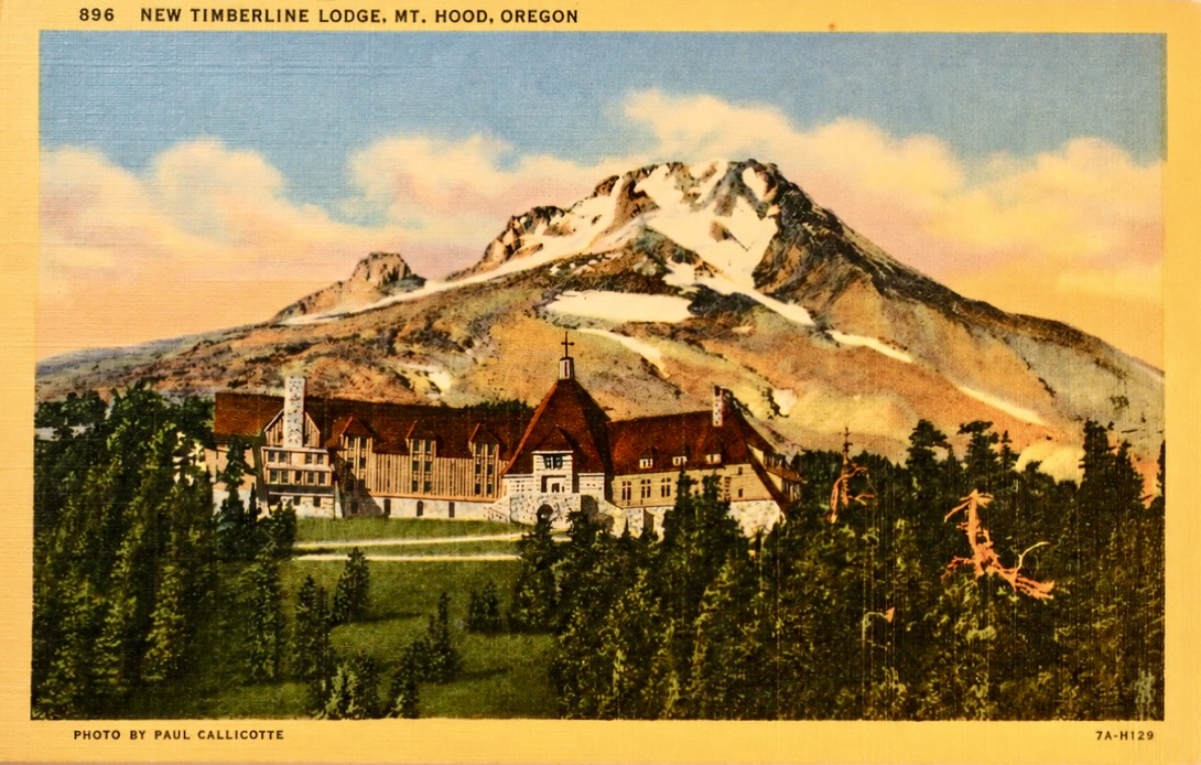
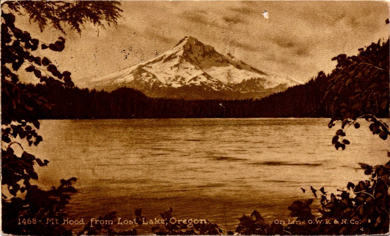
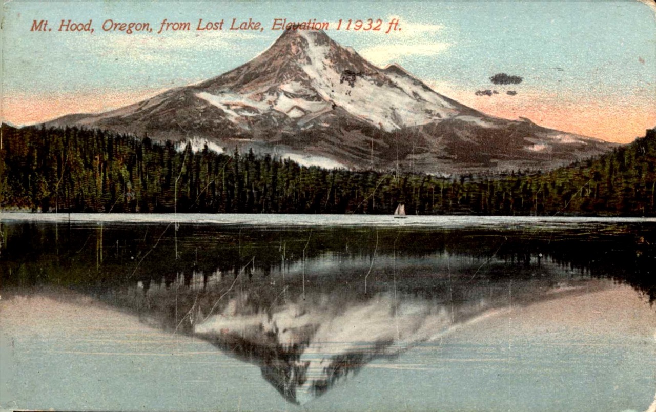
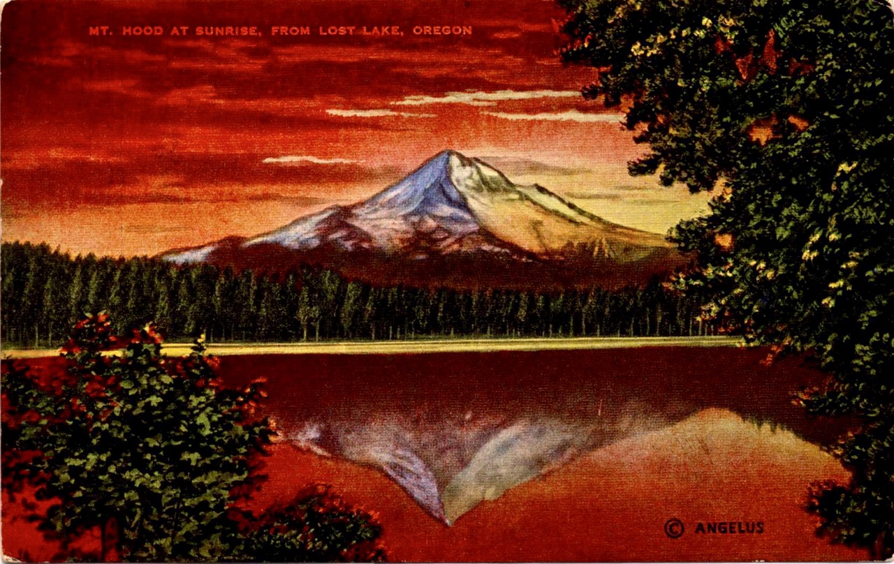
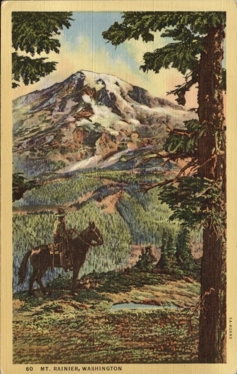
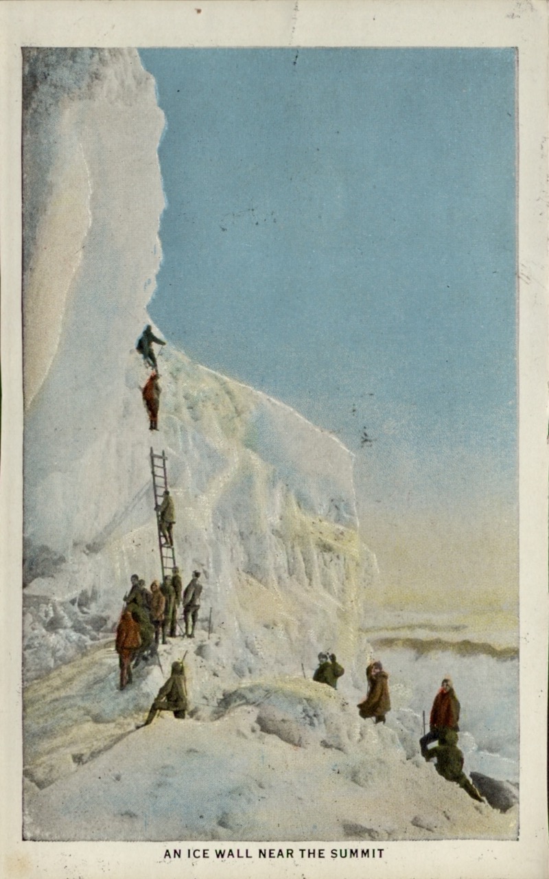
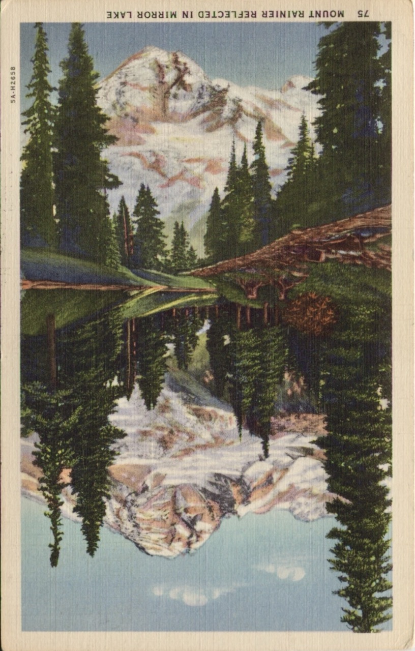
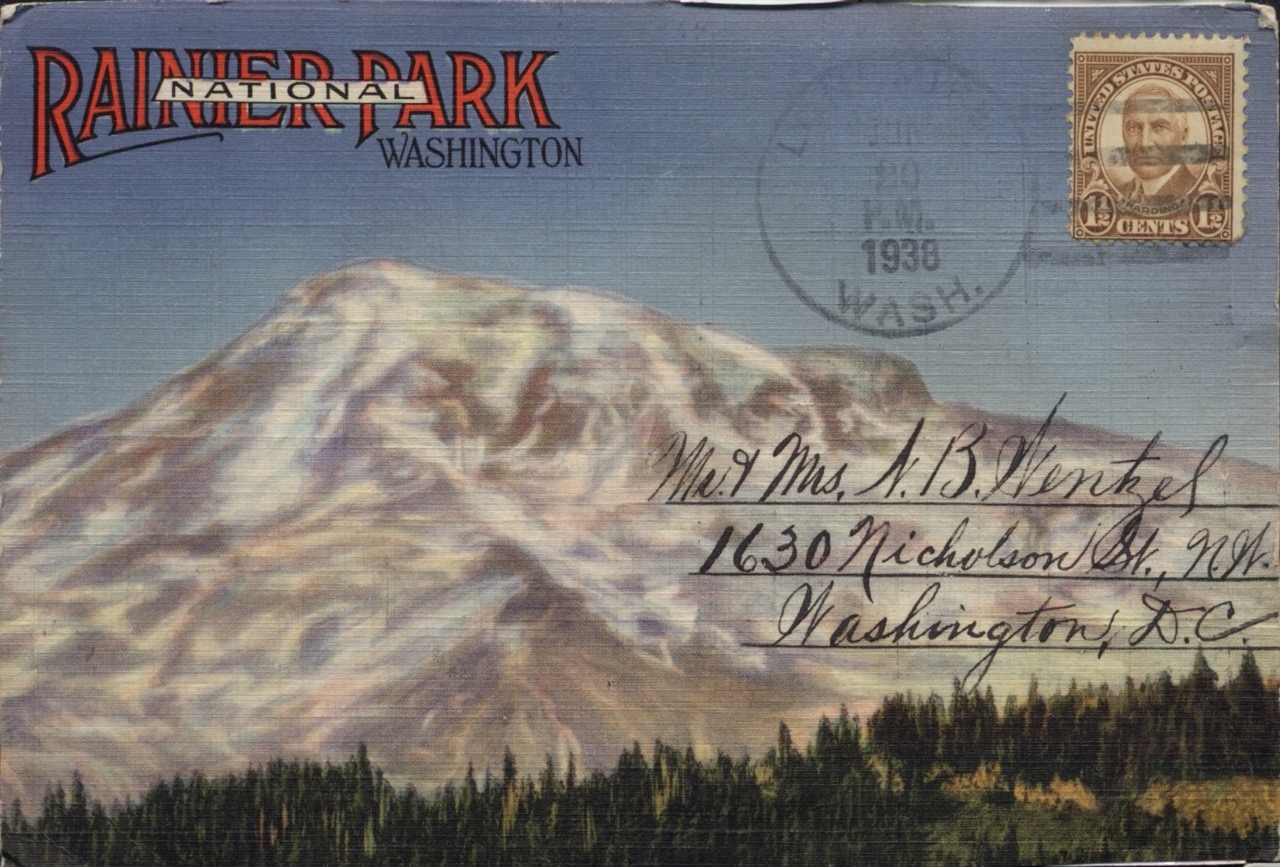
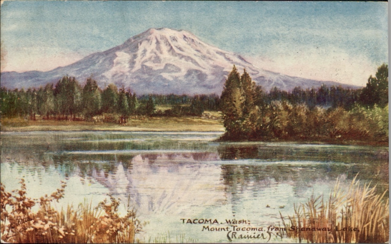
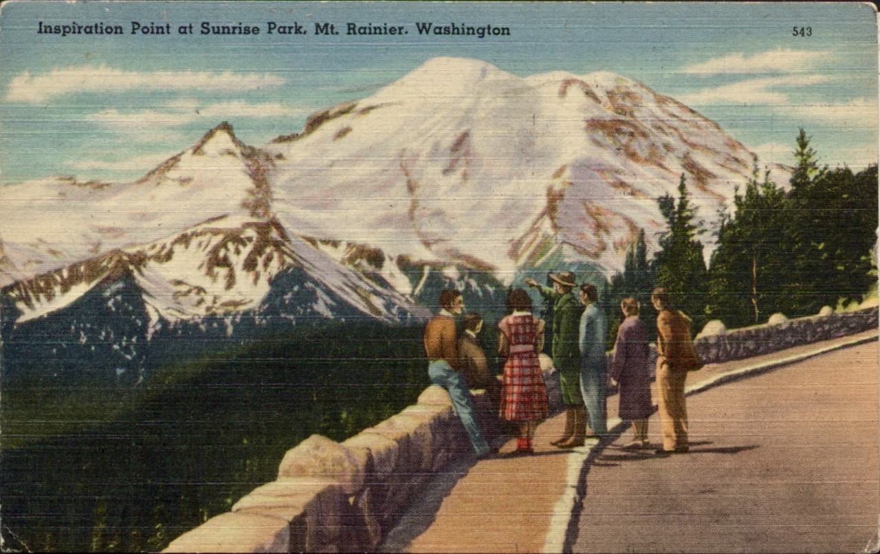
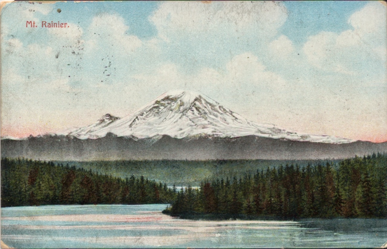
I start May 6. Quite nervous, but excited. I found a bunch of old postcards from along the trail, and plan to post those to you. Hope that’s a fun way to share the hike.
Nervous: years of dreaming about this have turned into weeks of optimistic prep, & now a bit of dread of the thought of actually sleeping outside every night for many months.
This happening & happening now… 😬
They say this is supposed to be an amazing challenge/experience: physically, mentally, spiritually. No pressure… But looking forward to the change of pace. Seeing diverse landscapes; all the flora, fauna, geology, & cultural history; in person. Wilderness you’ll never see without a Multi-day backcountry backpacking camping trip.
Will it be too much? Will I spiral into madness? Time will tell.
If I forget my name, if I’ve lost all grasp of time, if I write even more incoherently than usual, or if I can only communicate via images & diagrams…. know I’ve completely lost my marbles.
I’m optimistic. At least I’ll hopefully finally lose my baby fat
You can follow my satellite tracker at …
If I don’t make it, pls avenge me.
1 ~ Uncle Curtis 2025-May-06
The Trail Provides (Cherry Chapstick, Pt. 1)
Their orientation went on to say that despite all that pain and discomfort, part of the fun is coping with it and finding the strength to keep going -- and that overcoming it all & completing the trail feels great. (Plus no shade to folks who don’t finish, for whatever reason.)
For all the bad times, fairly consistently and for everyone, “the trail provides”, in little and big ways. Randomness comes together to help keep you going, and when it does it feels miraculous.
They told one story to bring this to a point: there was a hiker who had really bad chapped lips. They were visibly crusty, white scabs, bleeding, he was having a bad day. No one could help him. Eventually, as he was hiking along, he found some cherry flavored chapstick just lying on the ground. Right there in the middle of the trail. He was amazed, applied it to his crusty chapped lips’ immediate relief, and showed everyone. “The trail provides”. He got a “trail name” (a nickname most folks on the trail are known by) Cherry Chapstick” from that moment on.
And there are a million stories like this that confirm the sentiment.
This was certainly my experience.
Trail stats
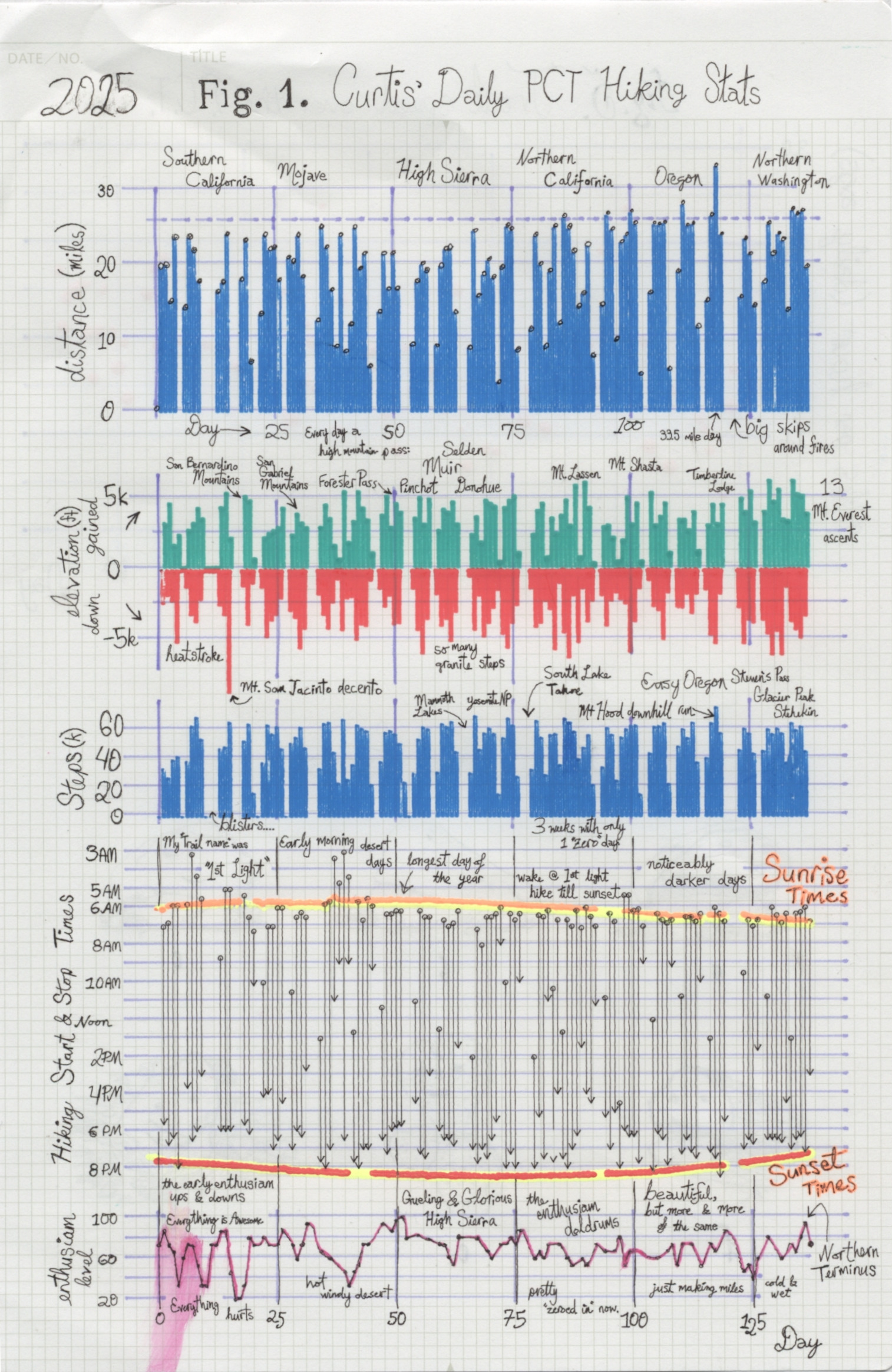
Have a look at Figure 1 - It shows many of my daily hiking stats. You can tell quite a lot looking closely at this. The x-axis is days, the y-axis is stacked with all sorts of interesting stuff. You can see bar plots with daily miles, my ascent and descent (in thousands of feet), & daily steps (in thousands). There’s a plot that shows what each day’s schedule looked like; when I started hiking and when I stopped, along with sunrise and sunset. The bottom plot shows how my enthusiasm level changed day-to-day.
Day 1-20, Enthusiasm whiplash. Real ups and downs.
Some highs: For ten years I’d been imagining what it would feel like to wake up on day one with nothing ahead of me but northbound trail. Turns out, realizing your fun fantasies can be amazing. Those great views! Isn’t it fun sleeping outdoors every night!? Within the first 3 days I went from the high desert at the border, yucca trees, manzanita, and succulents everywhere, through oaks and woodlands, up through the shrubs to the subalpine conifer forest of Mt. Laguna, then dived through sage and chaparral into the serious Sonoran Desert at Anza-Borrego.
But there were lows too. I pushed myself too hard, too early. The desert was brutally hot -- one afternoon I had symptoms of heatstroke, sat in the shade for two hours, and having so much trouble so early on the trail, genuinely wondered what I was doing out there. After that, I started hiking before sunrise and resting during the worst of the afternoon heat.
Still, trying to keep pace with a few friendly AT hikers, I pushed too hard again. Painful blisters developed across the pads of both feet -- not the nuisance kind, the kind where each step is a negotiation between the steps I’d like to take and the pain I can tolerate. I took several days off in Idyllwild, limping around, healing, sorting out food and bandages, which meant watching that first group hike on without me. I’d known them less than two weeks, but losing your first “trail family” hits hard.
It was probably the closest I came to quitting… well, I say that. I’m told I need to build tension in my storytelling. But this being the “closest I came to quitting” is a little undercut by the fact you can see my overall stats.
Around here is also when I saw my first medevac: a Navy helicopter lifting a heat-exhausted hiker off the San Felipe hills. Get ready for more helievacs later. 2
Zero Days - Days with no trail miles are called “zeros” in hiker nomenclature — and as you can see, I took plenty. Most were routine: laundry, resupply, rest. But a few were harder. I spent three full days in that Idyllwild, I ate an entire extra-large pizza over a couple days, nursing my blisters, generally feeling sorry for myself & recovering, dreading the hot, windy desert trail near Palm Springs I was about to descend into. That might have been the emotional low point of the whole trip. I wondered if this was my CLEEF prophecy fulfilling itself -- the crying-yourself-to-sleep night but I was too full of pizza and too tired to actually cry, so I just lay there feeling extremely sorry for myself, which I’m going to count.
Food fantasies became a whole thing too. Leaving the Sonoran desert near Palm Springs, I remember meeting a nice Swiss-French couple, a Québécois couple and an alpine-French hiker, and we started daydreaming about our favorite cheeses. With these French alpine cheese lovers, near Big Bear, coming up Mission Creek (an amazing bioregion transformation, by the way: 1,300 to 8,500 ft up a V-shaped wadi transitioning from hard desert to subalpine conifer forest in just 45 miles), we mused on raclette & fondue. At mile 220, day 18 for me, we made a pact -- an Solemn Emmental Oath -- you might call it a gouda-faith promise as you can make on the PCT -- it was a Feta’Compli -- we would eventually all have a big cheese fondue feast together.
Let’s let that age for a while and get back to it.
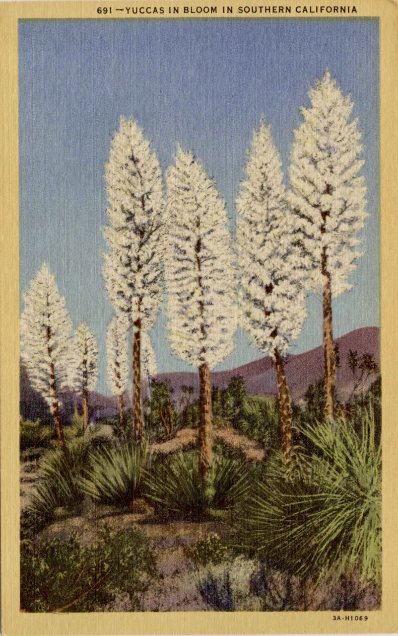
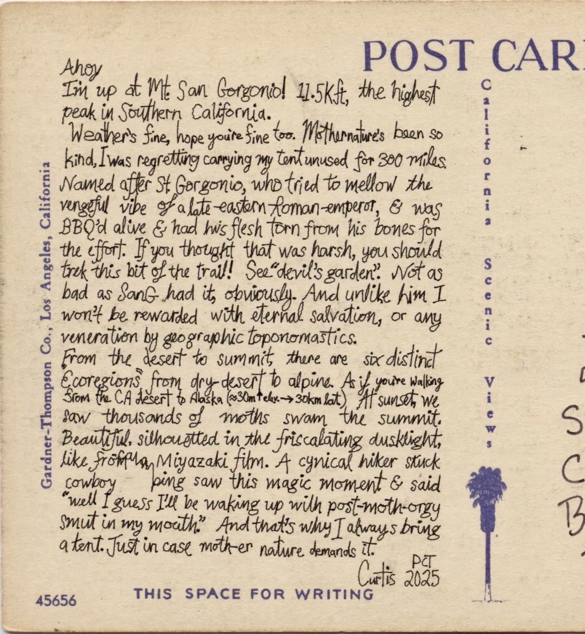
Ahoy
I’m up at Mt San Gorgonio! 11.5Kft, the highest peak in Southern California.
Weather’s fine, hope you’re fine too. Mothernature’s been so kind. I was regretting carrying my tent unused for 300 miles.
Named after St. Gorgonio, who tried to mellow the vengeful vibe of a late-eastern-Roman-emperor, & was BBQ’d alive & had his flesh torn from his bones for the effort. If you thought that was harsh, you should trek this bit of the trail! See “devil’s garden”. Not as bad as SanG had it, obviously. And unlike him I won’t be rewarded with eternal salvation, or any veneration by geographic toponomastics.
From the desert to summit, there are six distinct “ecoregions” from dry-desert to alpine. As if you’re walking from the CA desert to Alaska (30m ↑ elev. ≈ 30km lat. ↑)
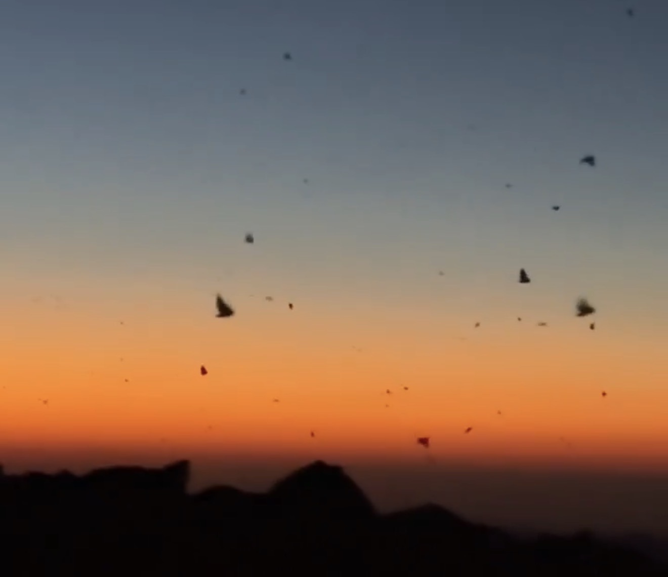
At sunset we saw thousands of moths swarm the summit. Beautiful, silhouetted in the friscalating dusklight, like, from an Miyazaki film. A cynical hiker stuck cow-boi camping saw this magic moment & said “well I guess I’ll be waking up with post-moth-makeout smut in my mouth.” And that’s why I always bring a tent. Just in case mother nature demands it.
Uncle Curtis PCT 2025
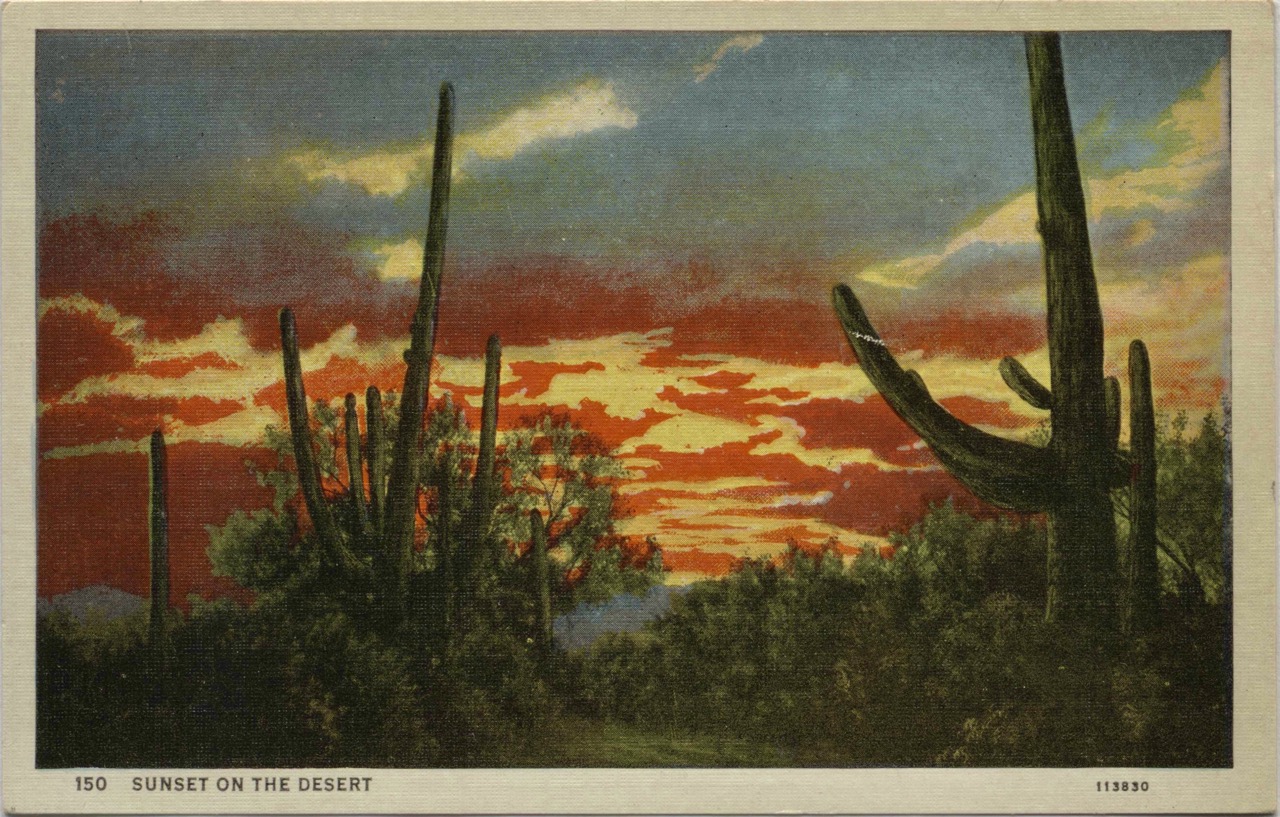
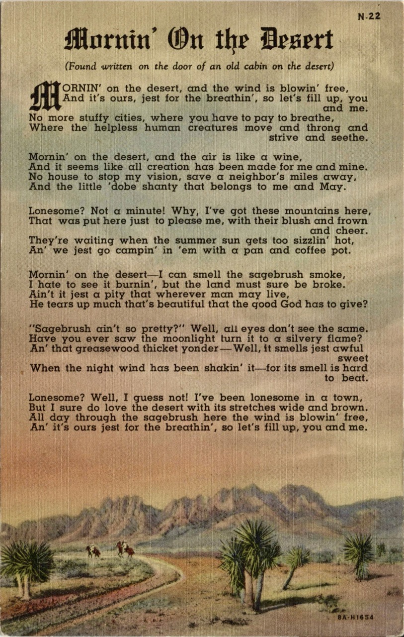
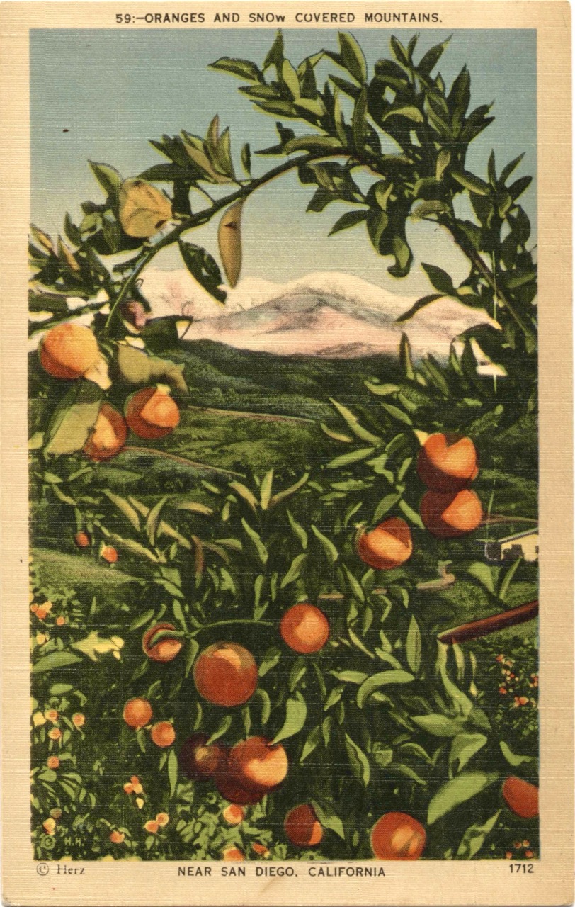
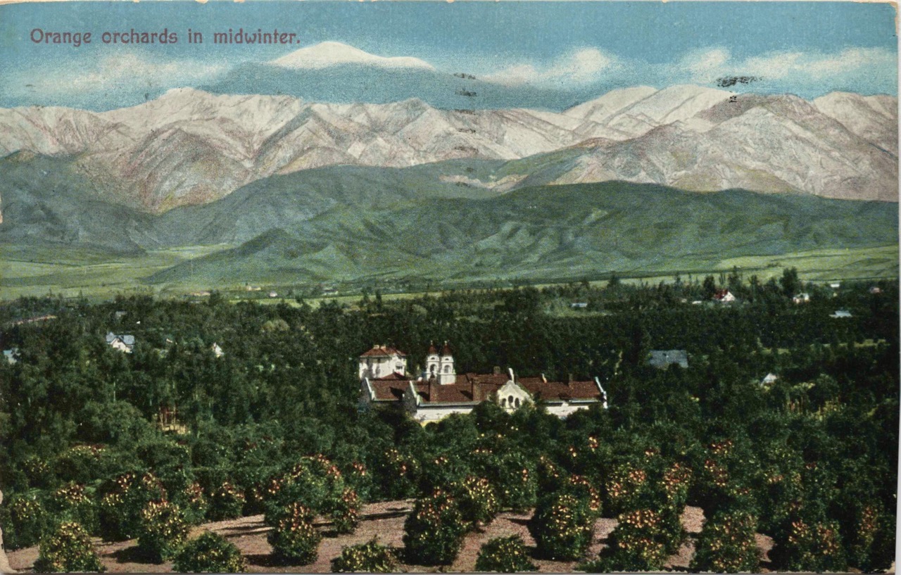
Days 20-50, Going over the “Sky Islands” of Southern California; up and down; visiting the San Bernardino, San Gabriel (collectively, the Transverse) mountain ranges, I — very slowly — shaped up, grew calluses and felt consistently better about the trail.
Sketchy Little Horsethief Canyon - Day 24 - Near “Little Horsethief Canyon”, I ended up following another hiker, except he was a little strange-looking. Not like a day hiker -- who are usually clean, with a day-pack, & soapy smelling -- this guy hiked shirtless, used only one shoulder strap with a poorly packed backpack, & carried an earthy smell that hit me when the wind was wrong.
Early on the trail, there are plenty of very unprepared hikers. Think: folks in cotton shirts or denim pants (bad choices for sweat & smell), folks taking several cigarette breaks a day, folks who carry iPads to watch movies at night. If I’m honest, and I feel a little bad for admitting this, I felt so unsure about myself -- whether or not I could make it to the end -- that seeing these folks was a relief. Next to some hikers, I was practically Reinhold Messner, it’s all relative. That said, early on I couldn’t really tell who’d actually make it. Many of the most young, healthy & eager folks in Southern California gave up later; many folks who seemed to struggle early were like hiking gods by the end.
Back to Little Horsethief Canyon -- as I followed this odd-looking hiker, I remembered comments in the trail phone app we all use: warnings about a sketchy guy or three, likely homeless, who’d try to steal your pack & otherwise accost hikers for money. The advice was to hike in a group, camp with others, & definitely not travel this section alone. It dawned on me that this was exactly that section.
He stayed ahead of me on the trail, me following and catching up to him quickly, the terrain & vegetation putting him in & out of view. Then, after one turn, he just… disappeared. Poof. Seriously. No intersecting roads, no trail forks -- he would have had to sprint out of sight (unlikely) or hide just off the trail somewhere. I kept waiting for him to jump out. Behind every rock. Down from every tree. This was near sunset, things getting dark.
Welp -- I decided to just hike another five miles, pushing 1-2 hours into the darkness to put good distance between me & the last place I saw him. I was still a little nervous in my tent. Sleep came in pieces. Every rustle outside had a face. Every sound outside might be him. That was probably the sketchiest feeling I had on the trail. People were definitely the scariest & best part of the trail.
Day 29 I had a hailstorm hiking in the montane shrub & woodland a couple days west of Wrightwood. BB-pellet sized ice balls. But I remember it not really causing me any trouble. I found a sturdy tree to hide under with my rain shell. Just a cool thing to watch & wait out.
Day 34-39, The Mojave was hot and windy. I’d wake before dusty sunrises, F/A-18s from China Lake making spiraling contrail circles above. ~1-3pm I’d find a shady tree to siesta under. Junipers are particularly nice to rest under, the needles & bark are quite soft, there’s no sticky sap. Probably my favorite tree of the trail.
Day 40-75, The Sierra range technically starts well south of the “high Sierra”, in the mountains near Tehachapi.
One of the trail’s quiet masterstrokes, especially down in Southern California’s sky-island ranges, is how deliberately it visually frames what’s ahead & behind. The PCT is routed, teasingly, to put the next hard thing on the horizon as you finish the last one.
You’ll get around some ridge and there it is: Mt San Jacinto, or the San Bernardinos, the San Gabriels, the Mojave below, and the high Sierra massive and remote and half-hidden by haze. It might feel far away, ominously huge off in the distance. Then, a few days later, you’re standing on top of it, looking back at the ridges and valleys you just walked, now the distant, small, hazy memory on the horizon.
Definitely a few moments like those establishing shots from fantasy epics, where our heroes crest a pass and a new land reveals itself below them. Except this is all real. I really walked to the pass. With my sore feet. It took a week!
Getting to the high Sierra, it was cool to get peeks looking north, to all the white-topped serrated peaks ahead. Unlike the smaller ranges in Southern California, these looked otherworldly. I was thinking “and I’m headed there?” And WOW, that backcountry wilderness of the high Sierra, Sequoia / Kings Canyon, and Yosemite National Parks, & John Muir Wilderness, amazing. Hard to communicate just how nice it is up there. It felt like this secret wonderland, kept secret by all the national park and wilderness designations that keep it so hard to access.
While that section was incredibly beautiful it was also pretty grueling. Every day a major mountain pass. The stream crossings. High-altitudes.
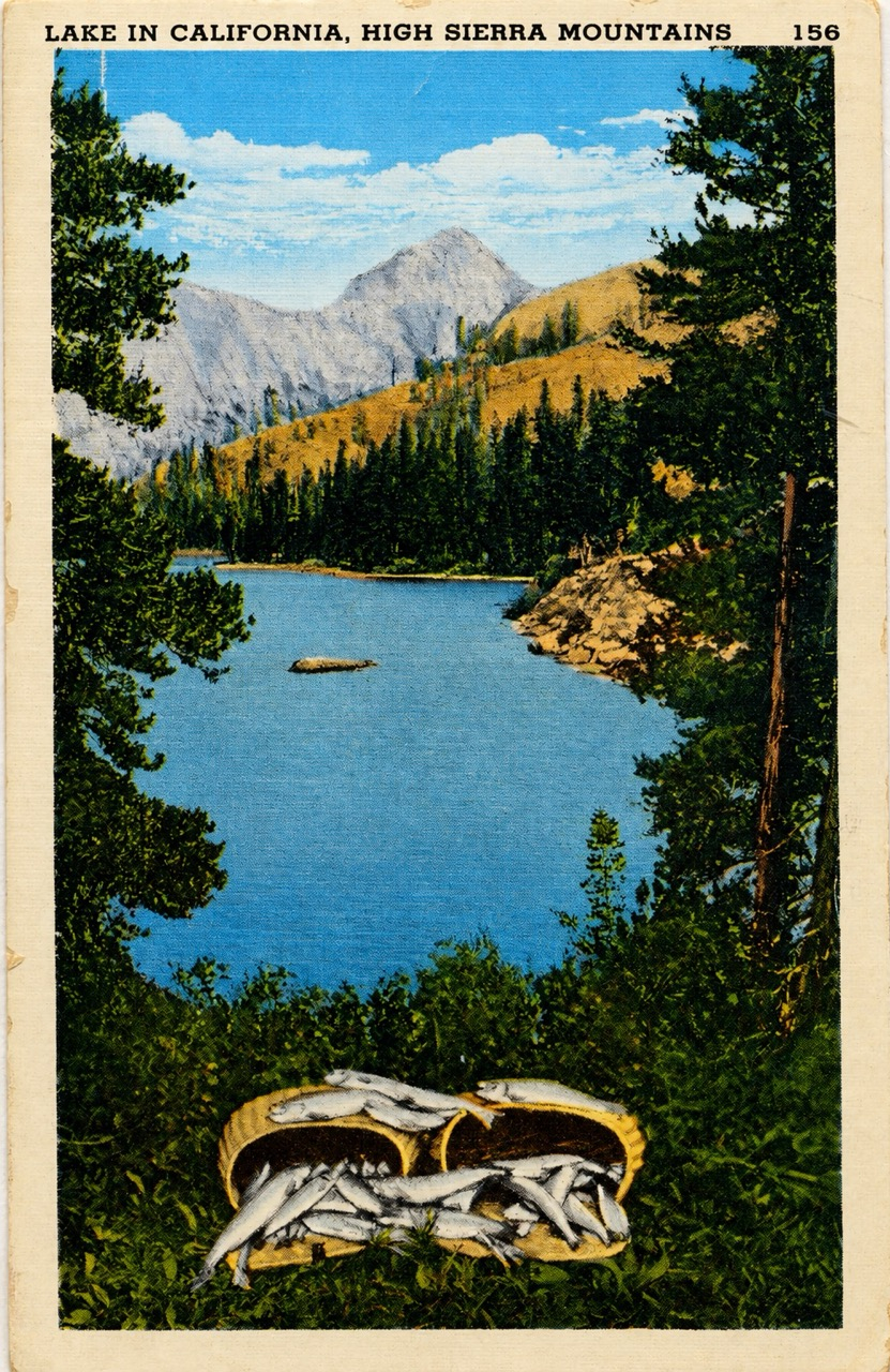
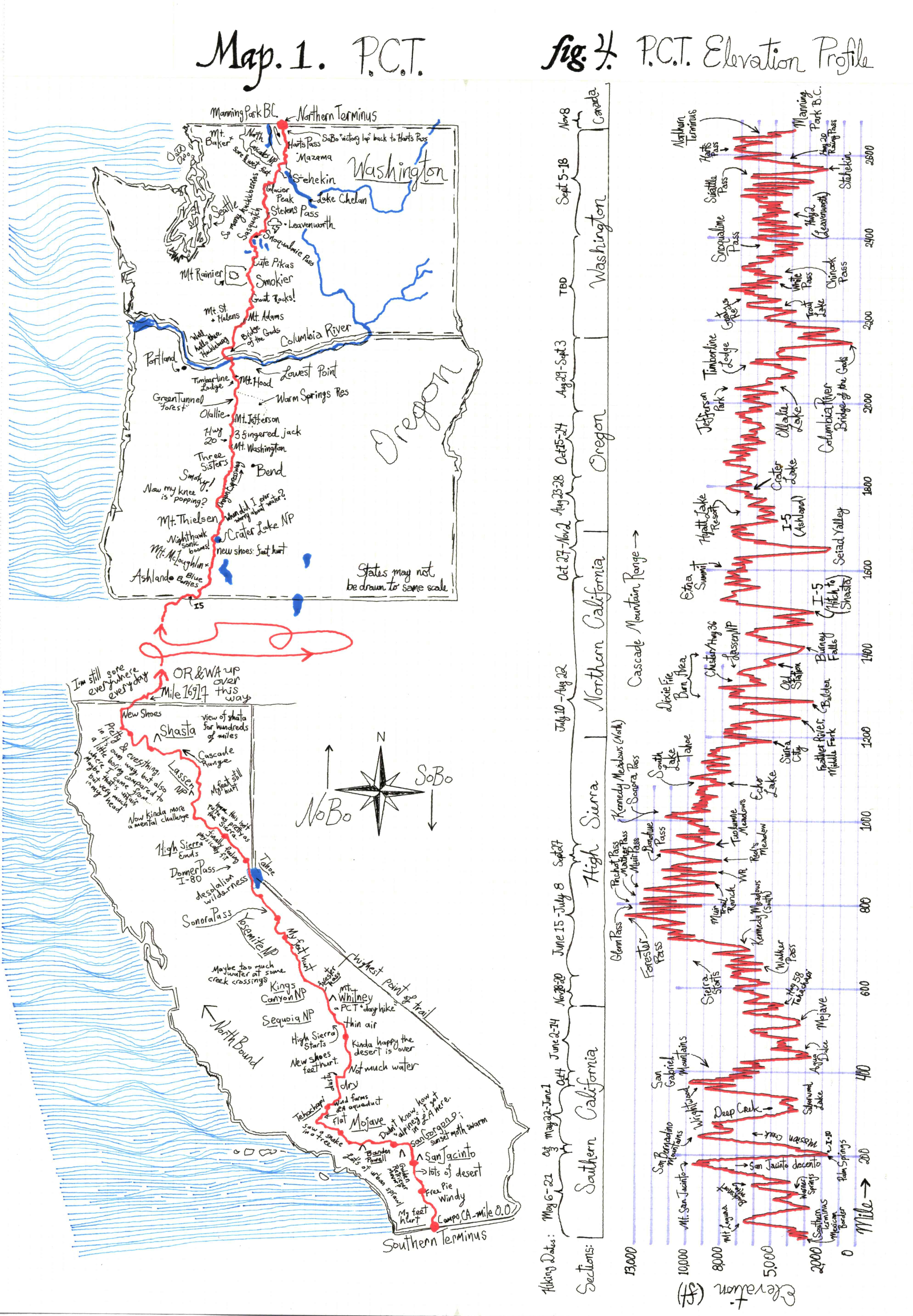
Figure 4: PCT Elevation Profile
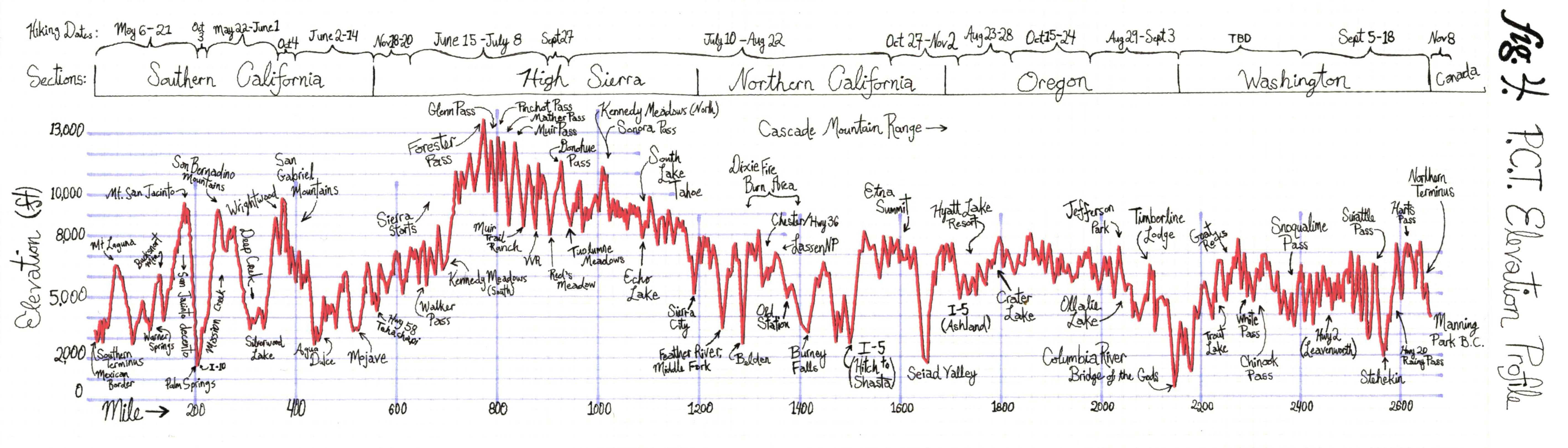
Have a look at Figure 4. It’s an elevation profile of the full trail, with a few annotations. Basically all of the high Sierra range is above 8000 ft, the effective O2 is only 75% that of sea level. (At 13,000 ft it’s 60%). And you can feel it! It took me a couple of days to acclimate up there. A few folks got quite sick, or had chronic headaches. I had trouble sleeping my first few days. I had read about a man who’d reached Forester Pass, the highest point of the PCT (if you don’t count Mt Whitney spur trail), and he died there of a heart attack.
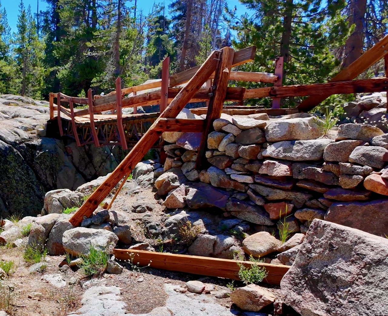
The trail gets brutal in ways not clear in the elevation profile. The north part of Yosemite (past Tuolumne) has thousands of these handmade granite steps. And it’s not like those clean, regular steps you have in a building, with uniform 7 inch rise and 10 inch tread, and landing every half story. Each one of these sierra steps was hand-chiseled, each a different size and shape, I imagine by Boy Scouts and WPA folks in the 1930s. Often over a foot rise. Every day a brutal leg day. I think they thought they were being nice, building these steps, but my gosh, those steps, along with all the mosquitoes in that section, were rough for me. There’s a moment when you leave Yosemite and get back into the National Forest, Emigrant wilderness at Dorothy Lake, and the trail is just softer and loamier again. This softer soil means the trail is just a straight graded trail, far fewer granite-steps…
Forester Pass was probably my favorite day of the whole trip. I was hiking with a nice group. We had a light dusting of snow the night before and a wide clear sky during the day. You could look down south over 50 miles of this massive U-shaped canyon holding a fork of the Kern River. Those high alpine areas -- there’s something about the mountain ridges, those Dr. Seuss-looking conifer trees, dwarf & twisted, pleasantly distributed, clean mountain streams trickling, so few people and not a road in sight. It was really pretty, and felt amazing.
By day 76, up at South Lake Tahoe, I’d say I reached a real new plateau of physical fitness. If I pushed myself I could keep up with most of the kids and fit hikers who’d politely passed me in Southern California.
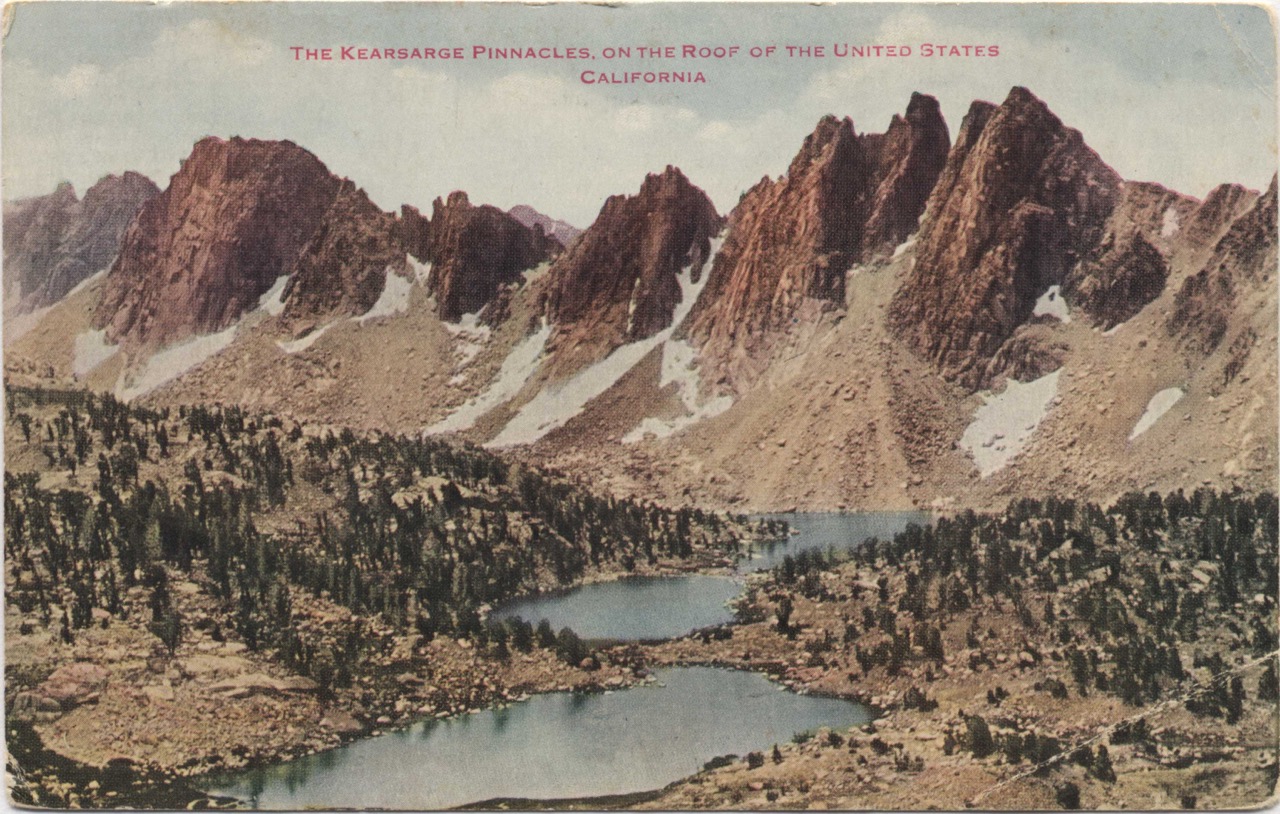
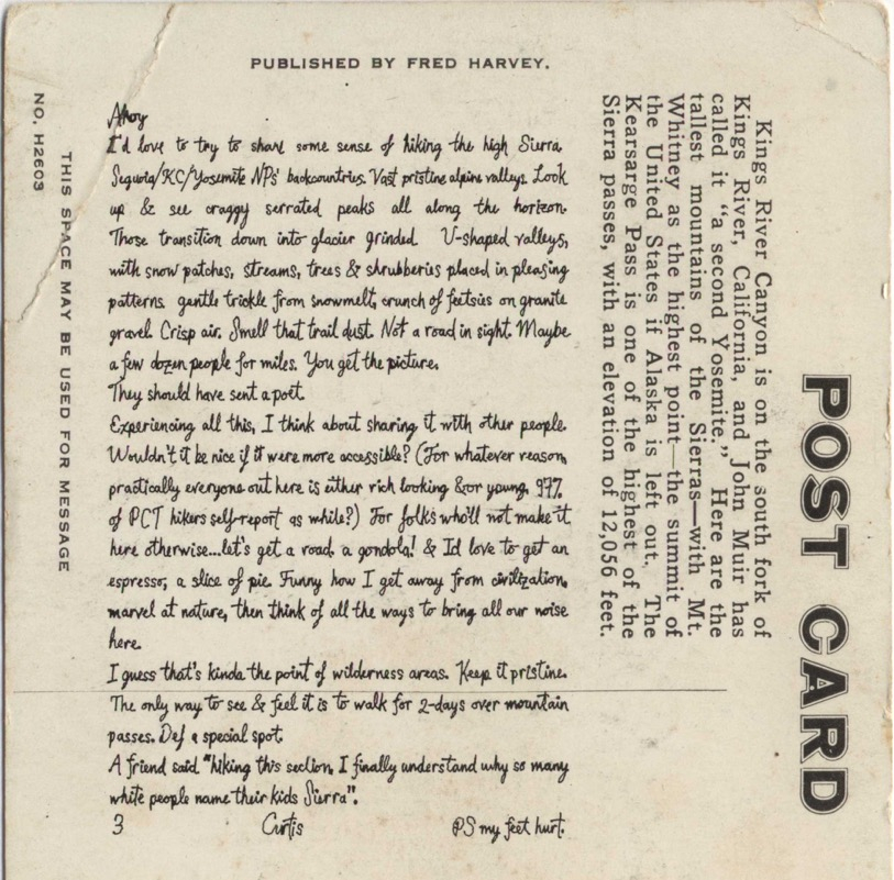
Ahoy
I’d love to try to share some sense of hiking the high Sierra. Sequoia/KC/Yosemite NP’s backcountries. Vast pristine alpine valleys. Look up & see craggy serrated peaks all along the horizon. Those transition down into glacier grinded U-shaped valleys, with snow patches, streams, trees & shrubberies placed in pleasing patterns. gentle trickle from snowmelt, crunch of feetsies on granite gravel. Crisp air. Smell that trail dust. Not a road in sight. Maybe a few dozen people for miles. You get the picture.
They should have sent a poet.
Experiencing all this, I think about sharing it with other people. Wouldn’t it be nice if it were more accessible? (For whatever reason, practically everyone out here is either rich looking &or young. 97% of PCT hikers self-report as white?) For folks who’ll not make it here otherwise….let’s get a road. a gondola! & I’d love to get an espresso; a slice of pie. Funny how I get away from civilization, marvel at nature, then think of all the ways to bring all our noise here.
I guess that’s kinda the point of wilderness areas. Keep it pristine. The only way to see & feel it is to walk for 2-days over mountain passes. Def a special spot.
A friend said “hiking this section, I finally understand why so many white people name their kids Sierra”.
3 Curtis PS my feet hurt.
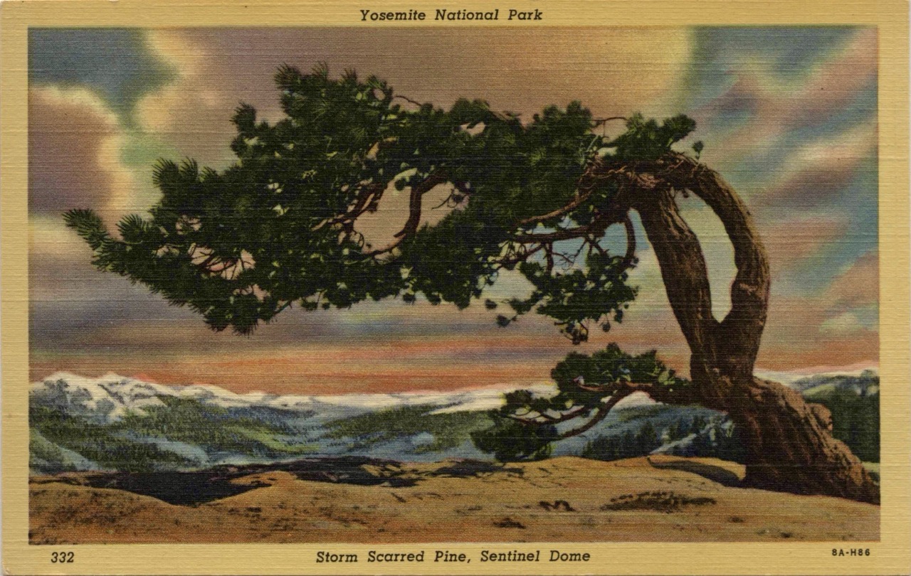
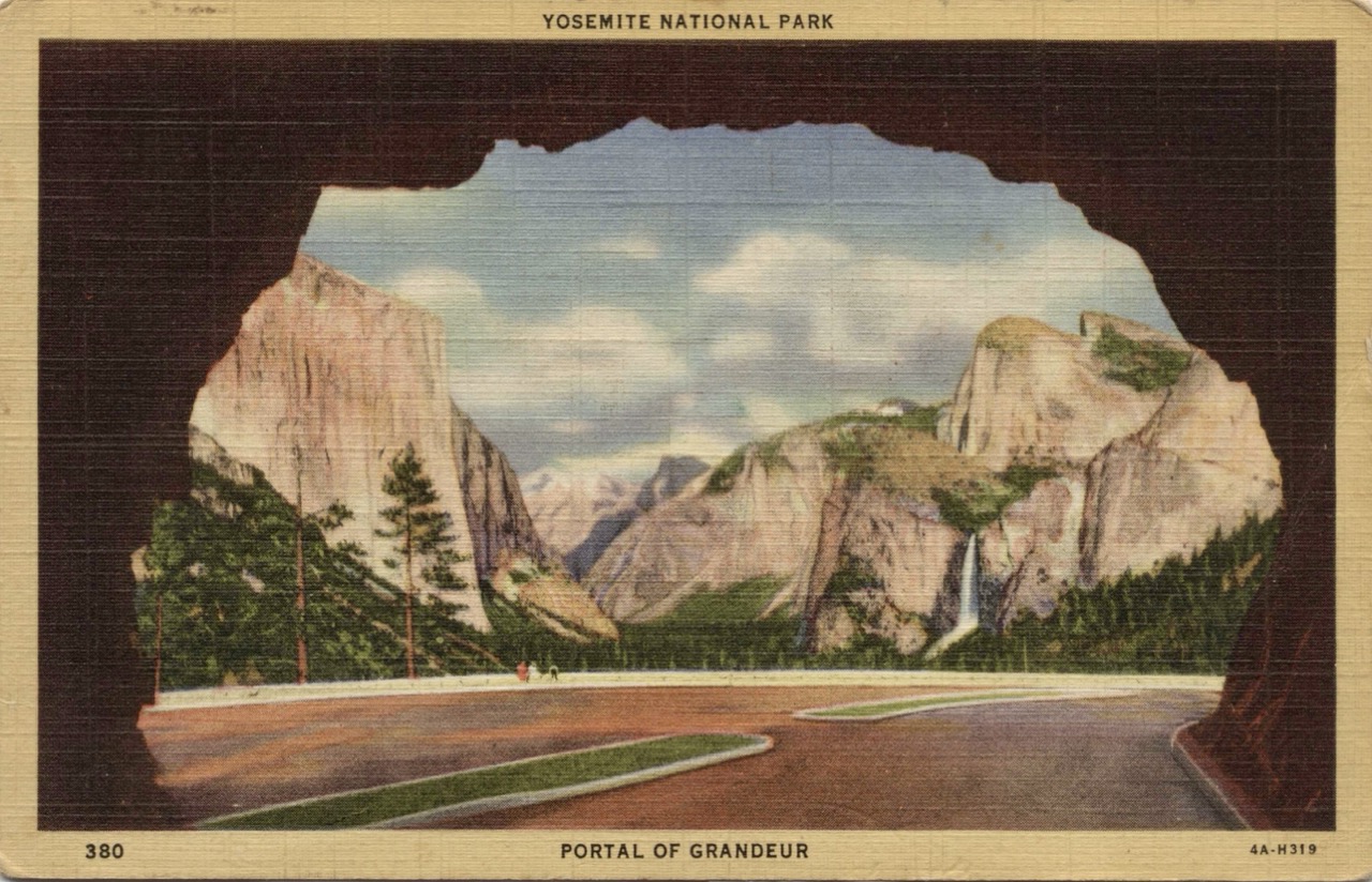
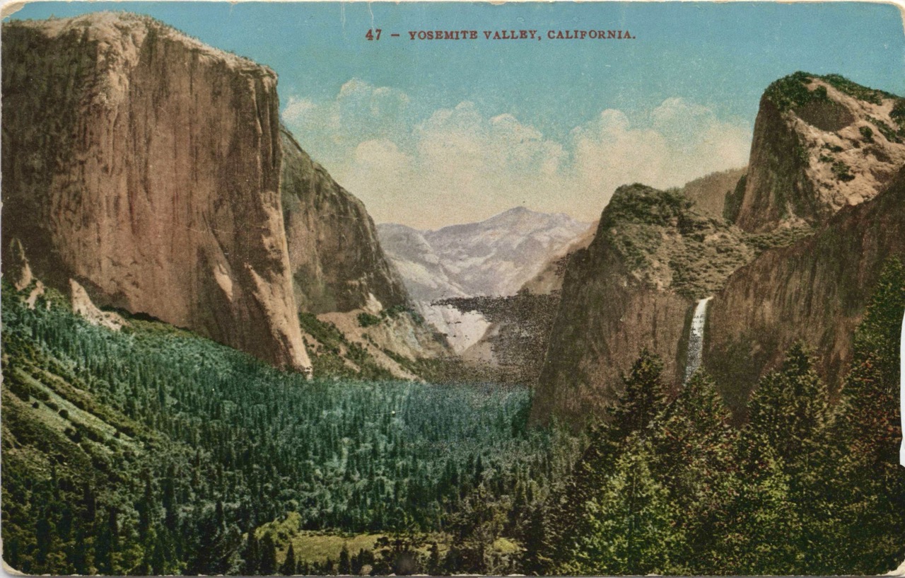
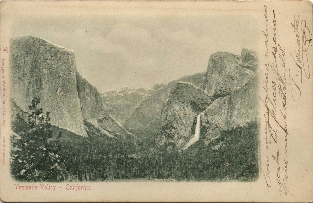
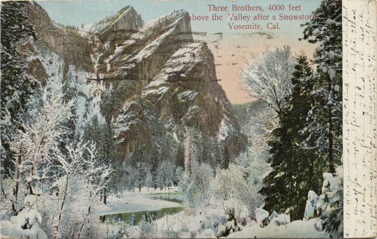
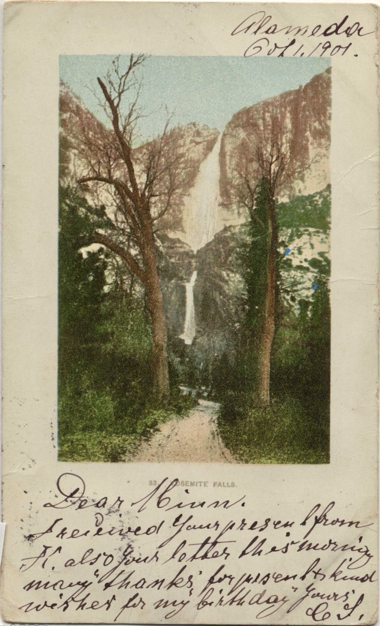
Days 75-125 - Mental Challenges - If Southern California is phase one, with the deserts, subalpine wonderland sky islands, learning the trail and slowly getting into shape. If the high Sierra is phase two, really pushing your body in the high alpine trails, snow, stream crossings, grueling but beautiful terrain. After that, into Northern California, Oregon and Washington the trail gets a lot softer, (the trail mostly loam a few exceptions around rocky volcanos, near Lassen and in Oregon…), everything from resupplies to the weather is more manageable …. then PCT Phase Three is about finding the mental strength to keep going. More on that in the books & boredom sections later.
Oregon Expressway - All through Oregon, I was still hiking in mostly wilderness areas, but the Cascades are crisscrossed with roads driven by friendly Pacific Northwest outdoorsy folks. There seemed to be a small seasonal resort every 100-odd miles, just off the trail. Each resort might have a restaurant and small store with near-everything you’d need to resupply. Often a shower and laundry too. And, again, hard to see it in the elevation profile, but the trail just feels softer and easier. So much easier to get in the miles. I started finding blueberries in season (maybe huckleberries too?) just on trail. This meant that the whole state felt like it was all downhill, with a buffet along the way. I managed to make a lot of miles. And it felt really fun.
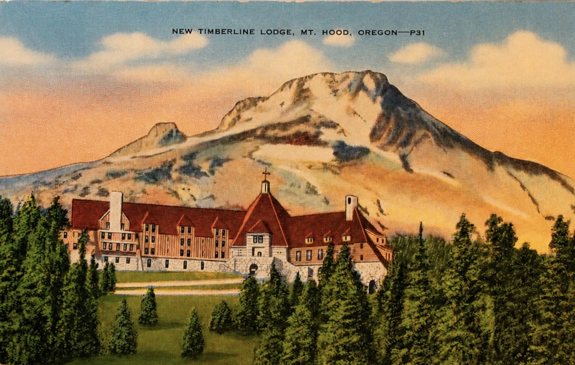
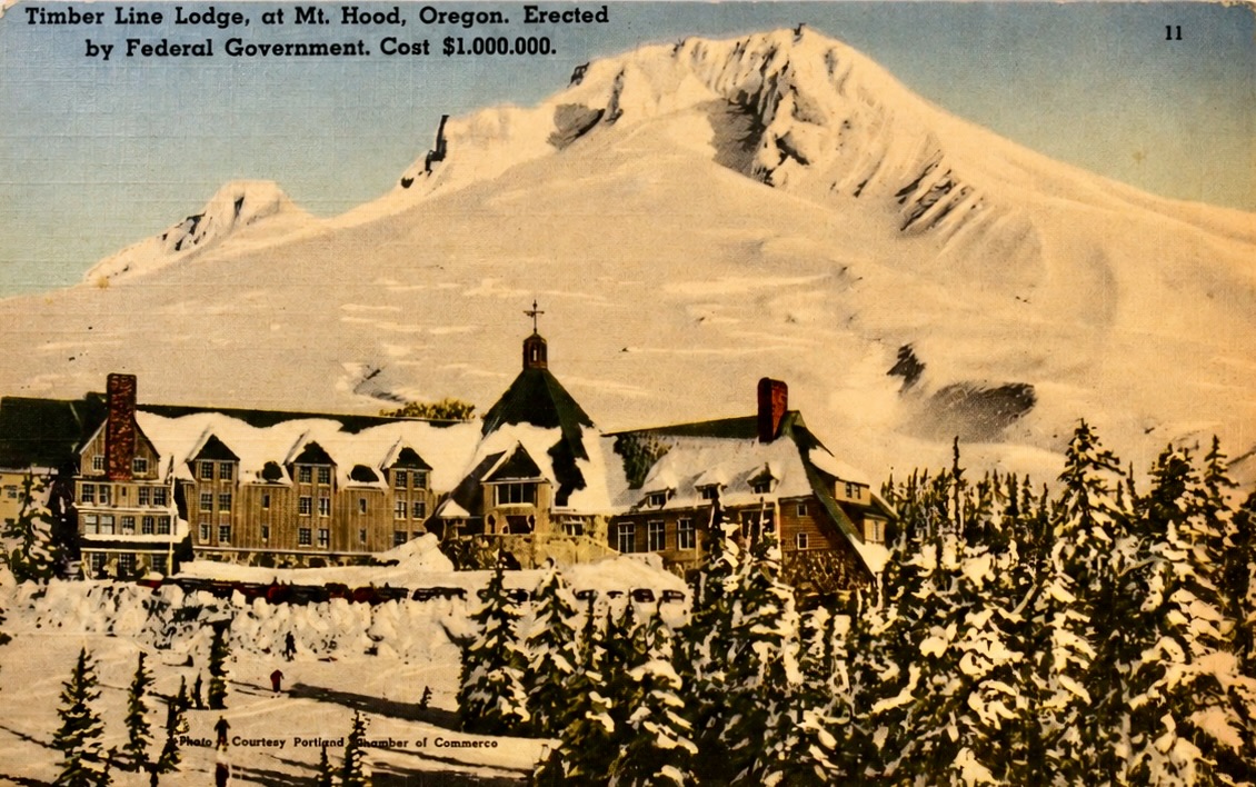
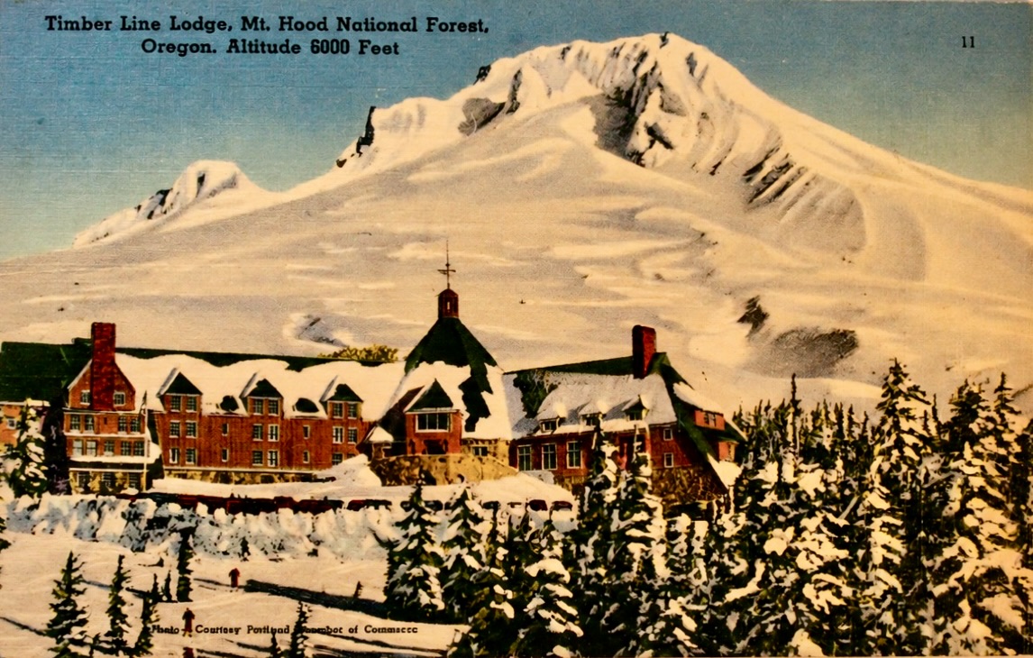
My biggest day, 33+ miles, was on the trail between Mt Jefferson, headed downhill towards Mt Hood. Many hikers do a “24-hour challenge” here, where they time their hike to end at Timberline Lodge after 24-hours of hiking, 50-odd miles away, - trying to finish when the Timberline Lodge’s all-you-can-eat breakfast buffet opens. The waiters there are very nice, but I guess they are mildly annoyed at all the hikers eating them out of house and home. But, at the same time, the hikers are a bit of a tourist attraction for the hotel guests. 3
Days 120-140 in Northern Washington. The northern Washington Cascades are amazingly beautiful and remote. The trail takes you over high mountain passes and into really lush, green fungus-filled valleys. The trail isn’t nearly as rugged as the high sierra, but there are big elevation changes, and the weather in late summer gets cooler and cooler, and things get wetter.
Northern Terminus - I hit the northern terminus with big feelings — and a little guilt. Endless rain is one thing -- you’ll be miserable but won’t die -- hiking into feet of snow and freezing temperatures is another. By the time I reached northern Washington, the season was already turning. I’d skipped chunks of trail earlier to dodge smoke and fires, and to make sure I’d reach the end before the first serious snowfall. I kept thinking how devastated I’d feel to hike thousands of miles and miss the official finish line — but avoiding that meant missing hundreds of miles of trail.
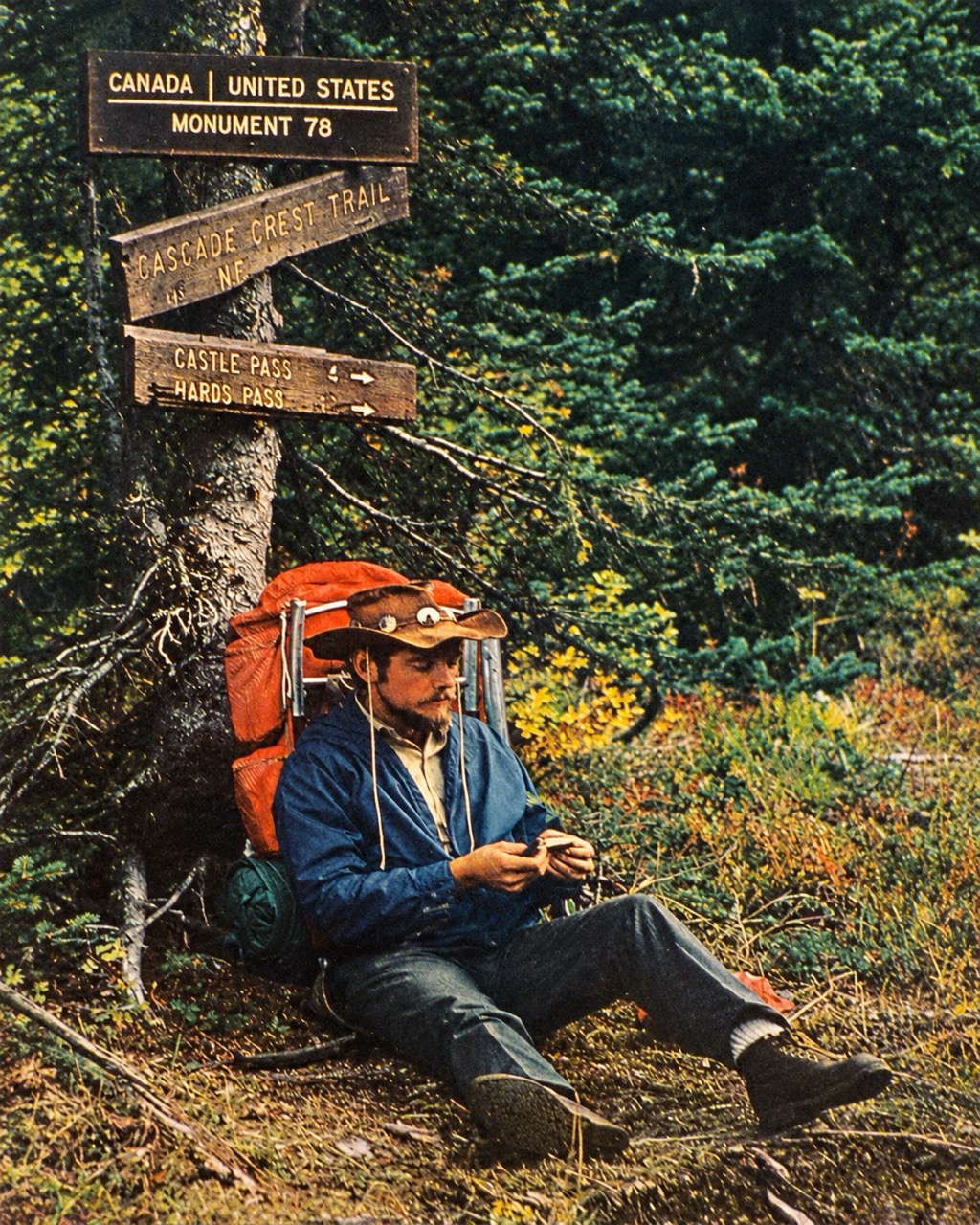
And then: the monument was amazing. A marathon from the nearest forest service road — or an easy day hike southbound from Manning Park, B.C. — it’s an odd, beautiful place to end months of walking. The USA/Canada border is unmistakable: a perfectly straight, thirty-foot-wide clear-cut line slashed through forest in a U-shaped valley. Thick pine trees deep in the valley thin out up high into jagged rocks on the ridges above. Standing there felt incredible. I even did the classic thing and stepped a little into Canada, curious whether the rumor was true about a nice toilet just down the trail.
There was, unfortunately, no magical Canadian outhouse — just Mounties blocking the path north. All decked out: tactical gear, wraparound sunnies, assault rifles. They asked for IDs and if anyone had a felony. It was a bit surreal: all that quiet wilderness, and then suddenly some militarized bureaucracy. Until February 2025, a visa program had allowed hikers to cross into Canada right there at the monument — that’s now gone, for some reasons.
I didn’t linger. I took my photos and headed back. A marathon to the nearest trailhead south. It felt strange to walk southbound for the first time — walking north, the sun is always at your side or back; now it was low and straight in my face. My favorite line from Lord of the Rings is Treebeard saying “I always like going South; somehow it feels like going downhill.” So true.
Those last sixty-mile loop felt like a reunion tour. I kept running into people I’d met earlier on the trail, including a few I hadn’t seen since day one. They call this stretch the “victory lap,” and it earns the name.
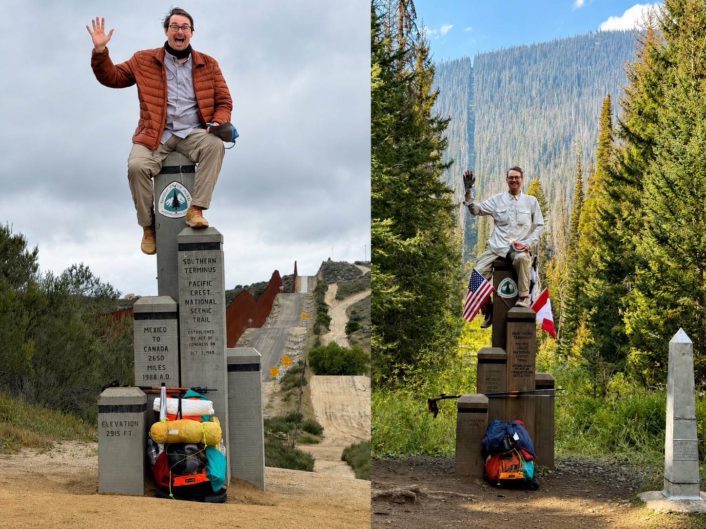
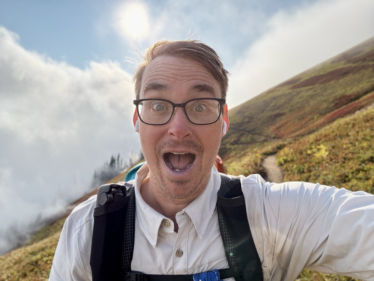
Figure 1, Panel E: Enthusiasm
That enthusiasm plot really does tell the basic story of my hike. High early variance, with highs-&-lows that gradually smoothed out over time.
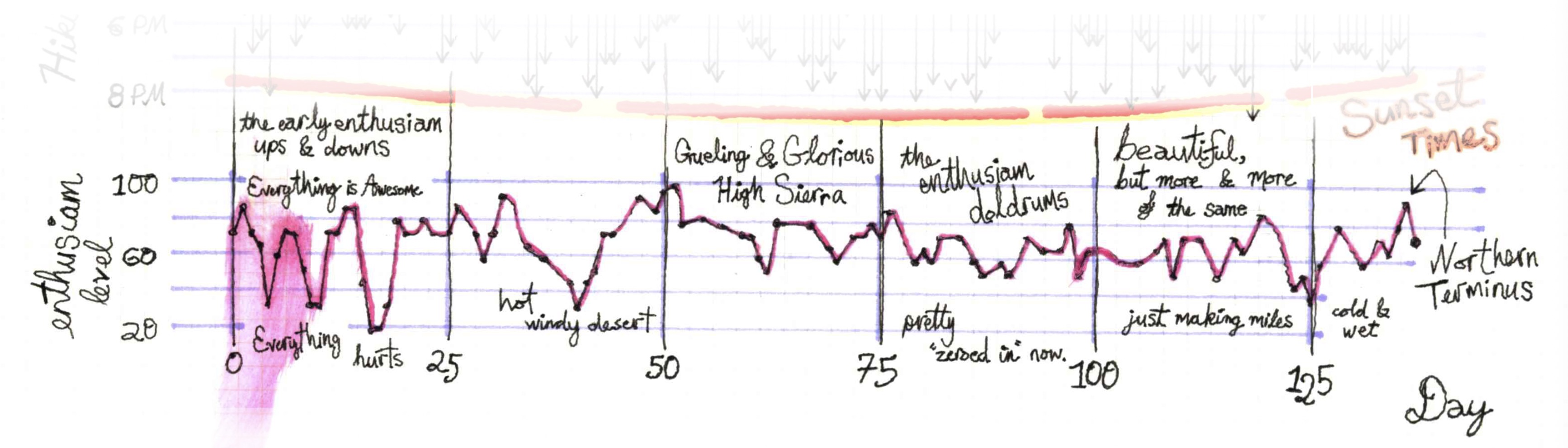
Early on, everything spiked wildly: day one heading toward Mt Laguna’s subalpine forest, I was almost breathless, thinking “oh my god, am I really doing this!?”, everything felt new and amazing. The lows came just as fast. Blisters aren’t excruciating pain, but that first bad blister in years is an infuriating little misery, as it heals I started walking funny leading to mild sprains; I had to slow down, take time off, and separate from a nice group I’d fallen in with early on. The High Sierra brought another stretch of literal and emotional breathless highs—some of the most beautiful days I’ve ever had—mixed with real effort in the desert and transverse range.
By Northern California, and for most of the rest of the trail, my enthusiasm flattened into something much steadier. Not ecstatic, not miserable. Enthusiasm “Doldrums” feels a little too negative— the novelty had worn off, this was a job I was comfortable with, one I knew how to do well, even with over a thousand miles still ahead. I can understand why so many folks who were certainly physically able to finish the trail, decided to quit here. You’d hear a lot of “it’s boring” and “what more do I have to prove?”
Toward the end, cold and wet weather dragged things down, and then, right at the finish, the line jumped up one last time: getting to walk through the North Cascades wilderness and sit on the northern terminus, the victory lap, my buddy picking me up from the trail to drink Dom Pérignon — a satisfying way to end it all.
Physical Experience
If you were to see me at the start of the trip and at the end, what would stand out is my dramatic physical change. I was maybe 240ish at the start, and maybe 190 at the northern terminus (I wasn’t really weighing myself, today I’m around 210). When I got back home folks assumed I was on Zepbound. No!, I cheated!, and skipped the nausea side effects by just walking all day every day for 150-odd days. Side effects may include blisters, sore ankles, a vague sense of awe at the sublime, and sunburns.
You might not be able to outrun your demons but at least you can look good while you’re doing it.
Slowly getting fit over the trail was a highlight. I took selfies every day and put them together into a timelapse (which I probably shared with you already).
{…insert timelapse video…}
Trail Speed & Fitness - One of the my personal joys of the PCT is getting incrementally better at it, every single day, and pounding out more and more miles. That progress is easy to see in the data.
Figure 5: Trail Speed
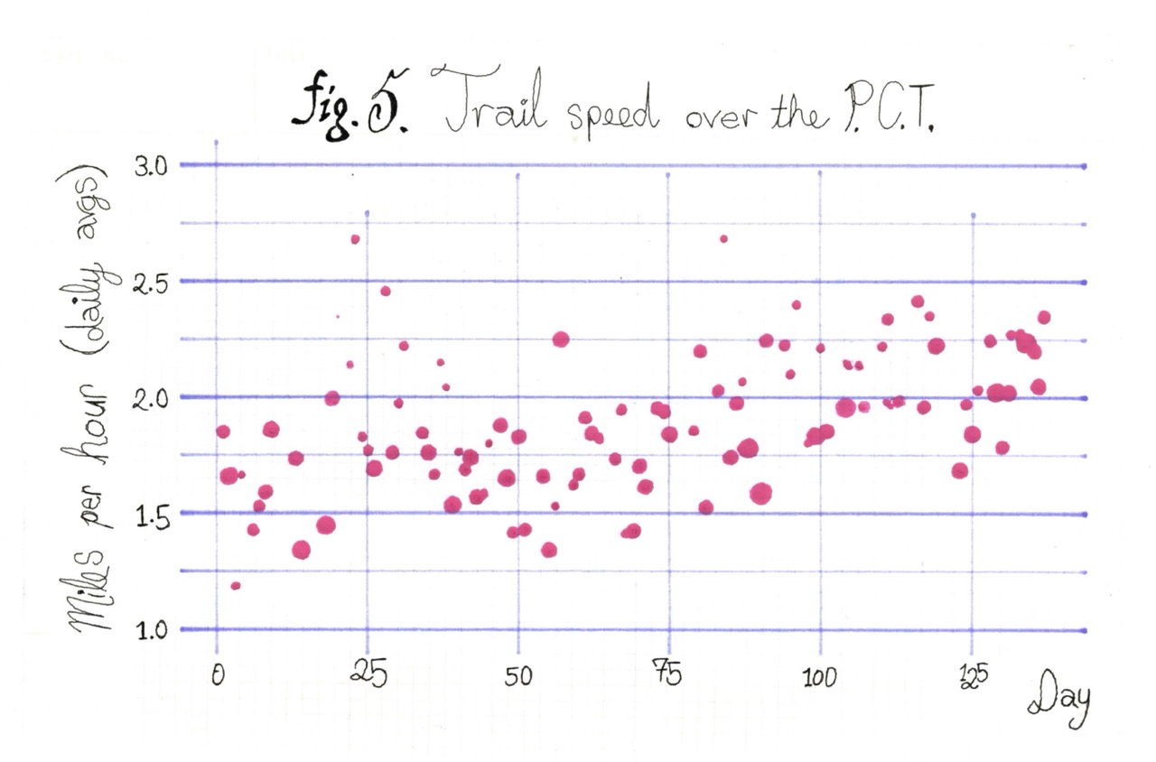
Figure 5 shows my average daily trail speed—not just moving speed, but all-in: breaks, selfie stops, food prep, staring open-mouthed at things. (Dot size is a bespoke metric, roughly how hard the day was—bigger dots mean more climbing, tiny dots might have been mostly downhill.) Early on (days 0–40), I was hovering between 1.5 and 2.0 mph. The Sierra (roughly days 40–75) knocked me down—brutal terrain, ice, high altitude, and a camera I couldn’t put down. After Lake Tahoe on day 75, things gradually got easier & faster. By days 100–125 I was consistently at or above 2 mph even on hard days -- partly because I was fitter, partly because I’d lost the urge to photograph every majestic vista and pretty wildflower. The thousandth one is less compelling.
By Washington, my resting heart rate was sitting around 45 bpm. My body was mid-20s fit. I was hiking 10–14 hours a day, and my pace in the Cascades -- despite the difficult terrain and ugly weather -- stayed in the 2.0–2.5 mph range. Fewer zeros & nero days in the back half meant the efficiency compounded fast.
That half-mph gain might sound modest. It isn’t. Early days topped out at 15–24 miles. By Washington, I was stringing together marathon days (26.2+ miles) in a row—bad weather, full pack, a week of food & accumulated trash -- and going to sleep with only minor aches. Roughly 20 days total cleared the marathon mark.
I’m not setting records. The serious young athletes were hitting my end-of-trail numbers before the Sierra. But that’s not my point, it’s that in a few weeks of conditioning, this increasingly creaky body got fit enough that a mountain marathon became… just another fun day on the trail. Mountain passes, rough terrain, stream crossings, tree falls … yeah, no worries. Months later, the thought of running a road marathon feels daunting. But for a few weeks in Washington, it was just another Tuesday.
TLDR: I got faster, the Sierra slowed me down, by Washington I was doing 20–34 miles a day. That improvement was a major highlight.
Food - “Hiker hunger” is a real thing on the trail. Your body just can’t keep up with the physical demands, and every cell screams “FEED ME!” Luckily, thanks to my middle-aged soft body and decades of neglect, I always had a decent amount of fat reserves to fall back on. But some of those skinny folks really had a hard time. And so we talked a lot about the foods we were most looking forward to eating in town.
{…get into calorie deficits, and how that translates into weight loss. Adjust for overeating town days…}
If you remember back at Mission Creek, those cheese-dreaming French-speaking hikers who I made a fondue pact with -- our Solemn Emmental Oath -- it wasn’t until mile 1,100, day 76 that we found a fondue place that met the standards of our group (the Frenchman was picky). On Lake Tahoe’s shoreline, watching a glorious sunset over the lake, we ended up having 4 bowls. That’s a lot of cheese.
Just to put a pin in the food situation on the trail. After fondue, I walked back to my hotel. Still hungry, I managed a Five Guys grilled cheese, fries & a large chocolate shake for dessert.
As I was working through the cheese sweats the next day, I realized something. Truly, you can fondue anything you put your mind to. The trail provides.
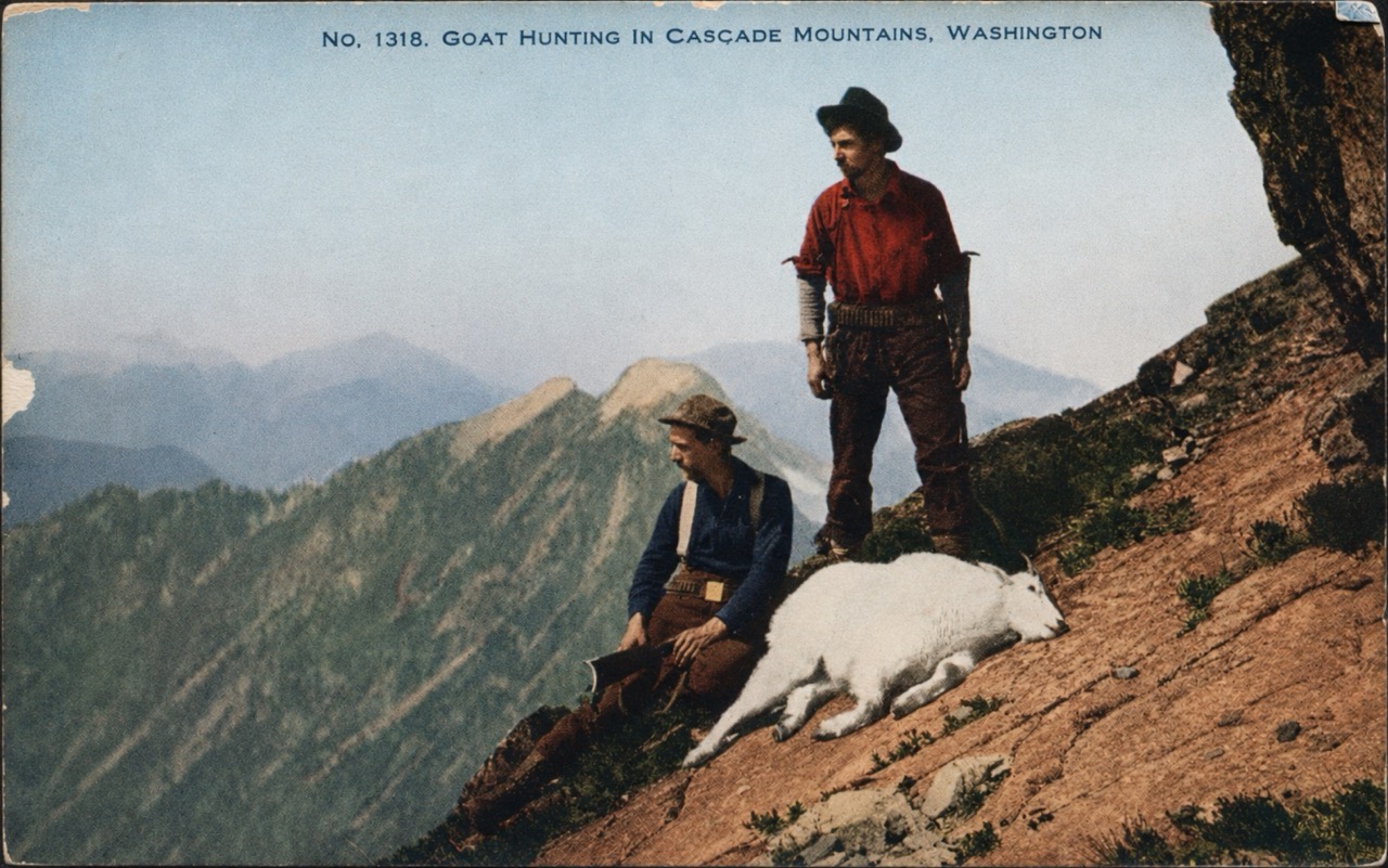
Lack of showering - In city life, I’m a daily showerer who definitely notices when I get too smelly, or when I’m around smelly folks. On the trail, those standards disappear. Maybe it’s the constant fresh air, but you eventually stop noticing your own musk -- or anyone else’s. It just smells… natural. Earthy.
The funny shock comes when you get close to a popular trailhead. You can actually smell the day-hikers before you see them. They smell quite nice! That floral laundry detergent scent, those spotless clothes.
After Timberline Lodge, I hitched and took a train back to my place in Portland. One guy on the train asked “you homeless?… what’s your deal?” -- I looked pretty dirty & smelled, and was carrying a bag covered in dirt, but I also had a clean haircut and hiking poles. I explained I’d walked there from the Mexican border, and he offered me a swig from his bottle of vodka on the MAX. The same train had a guy open-carrying a machete. Oh, Portland.
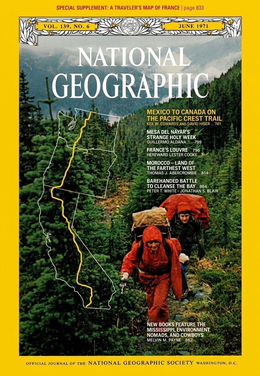
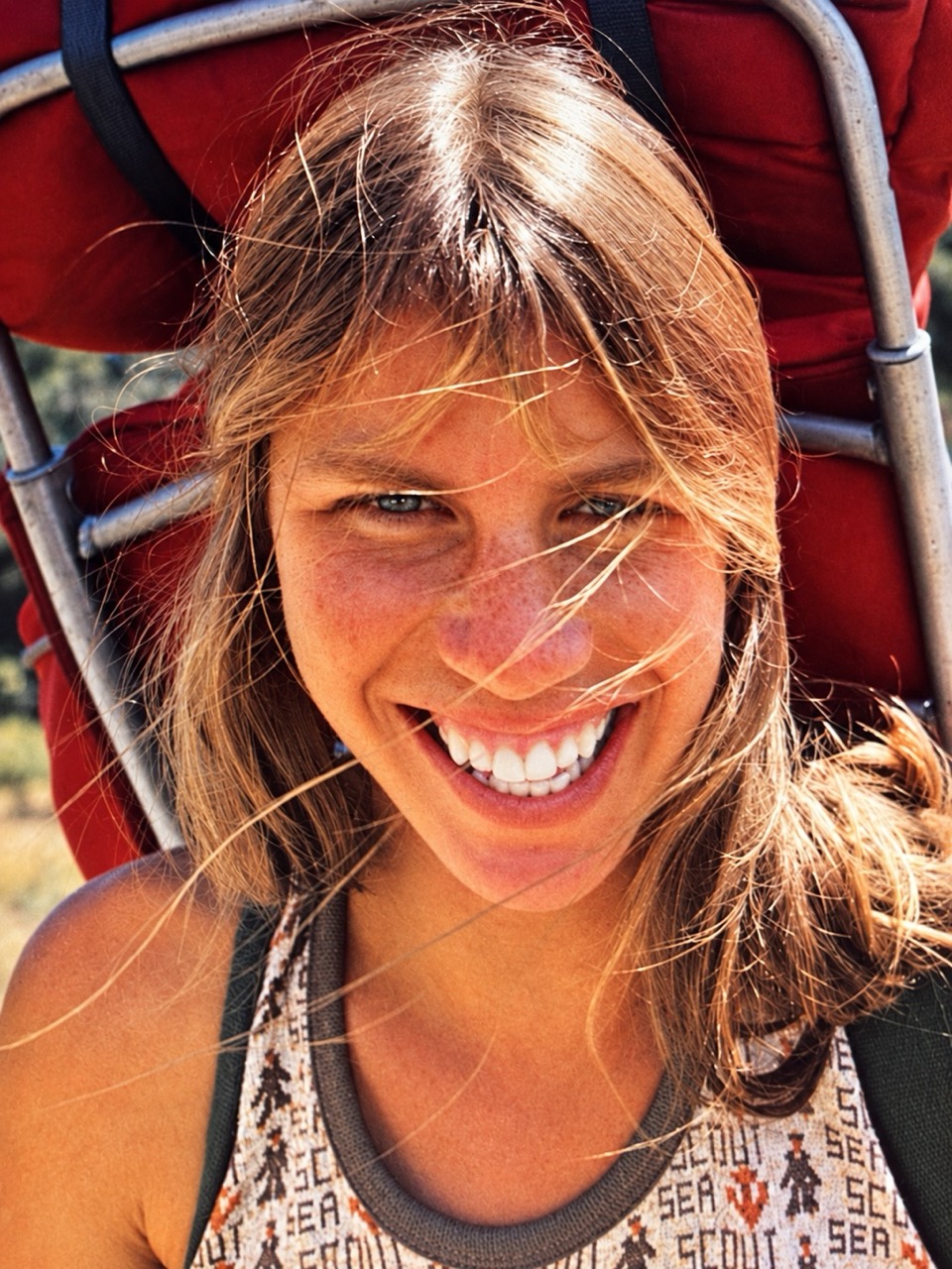
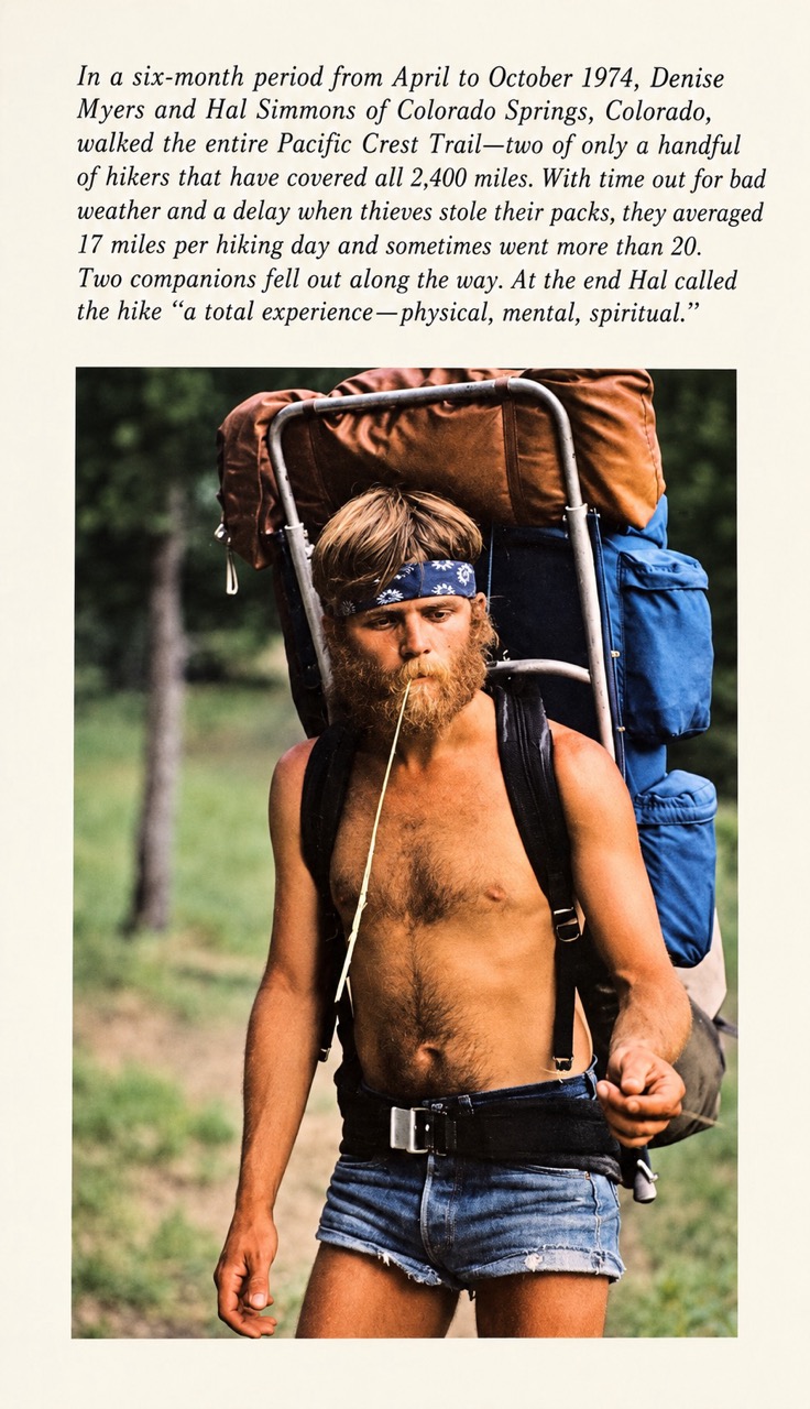
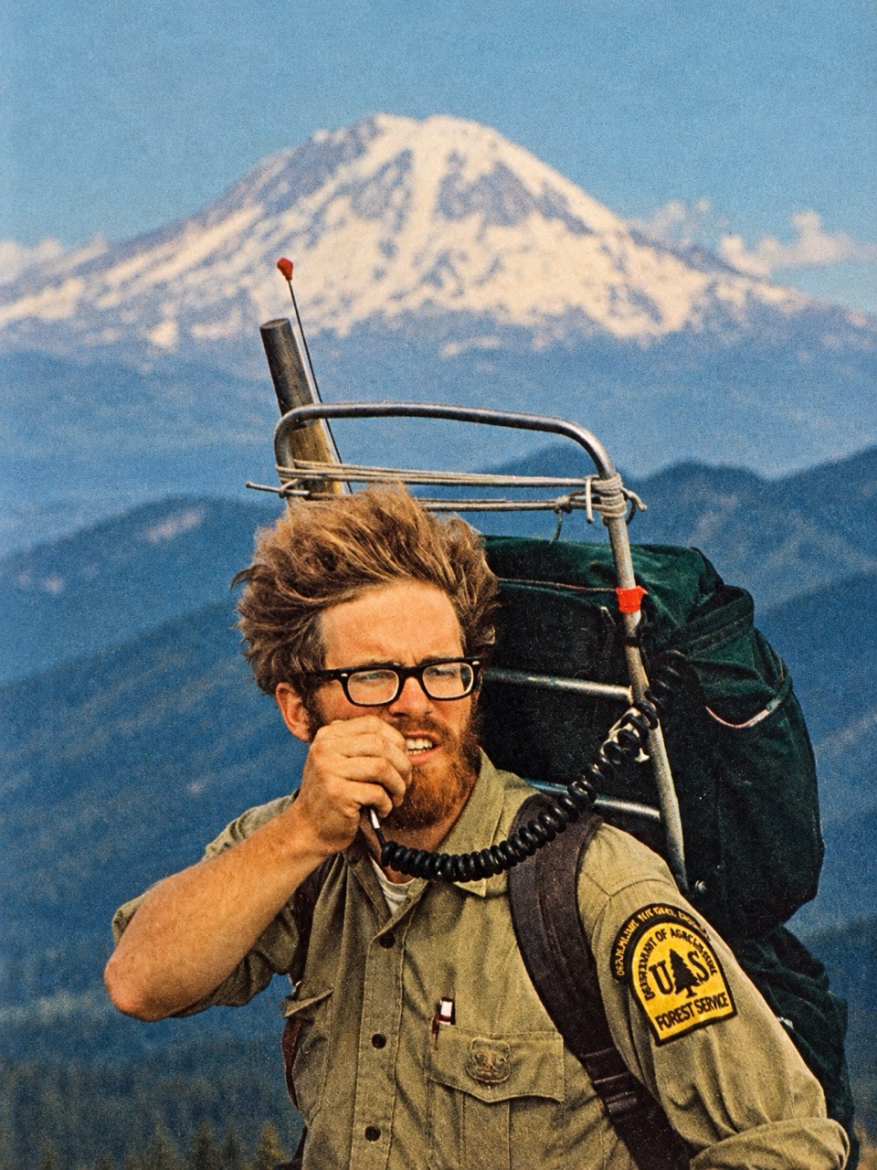
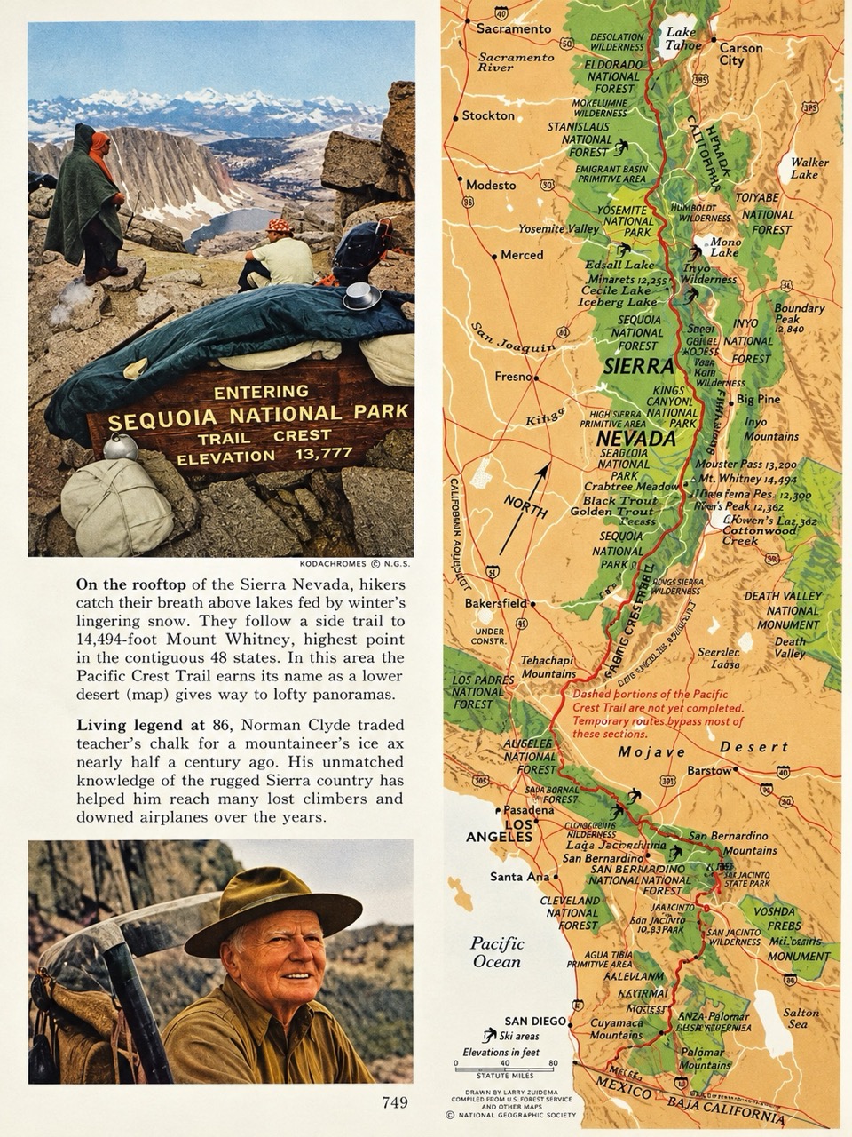
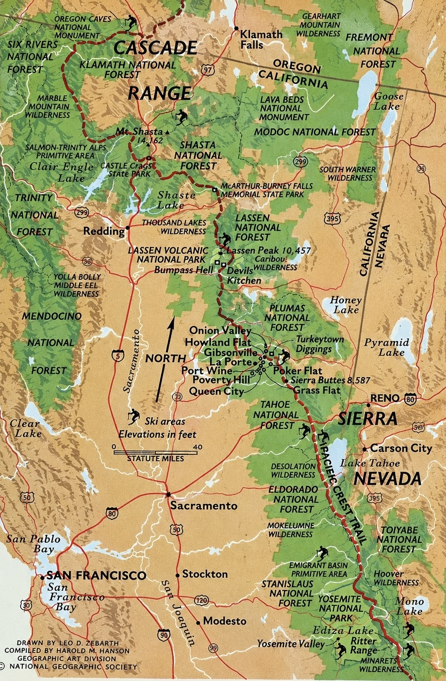
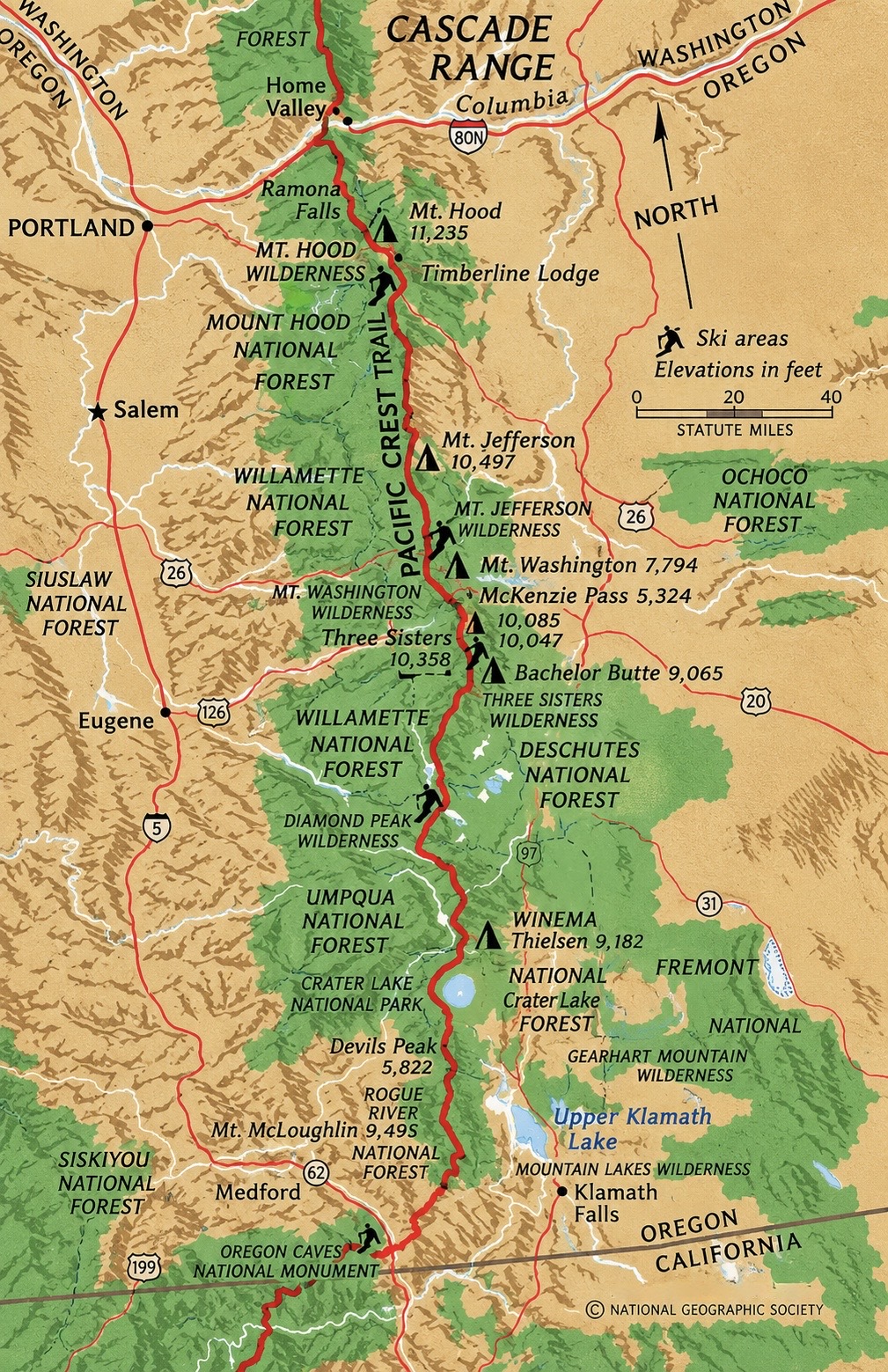
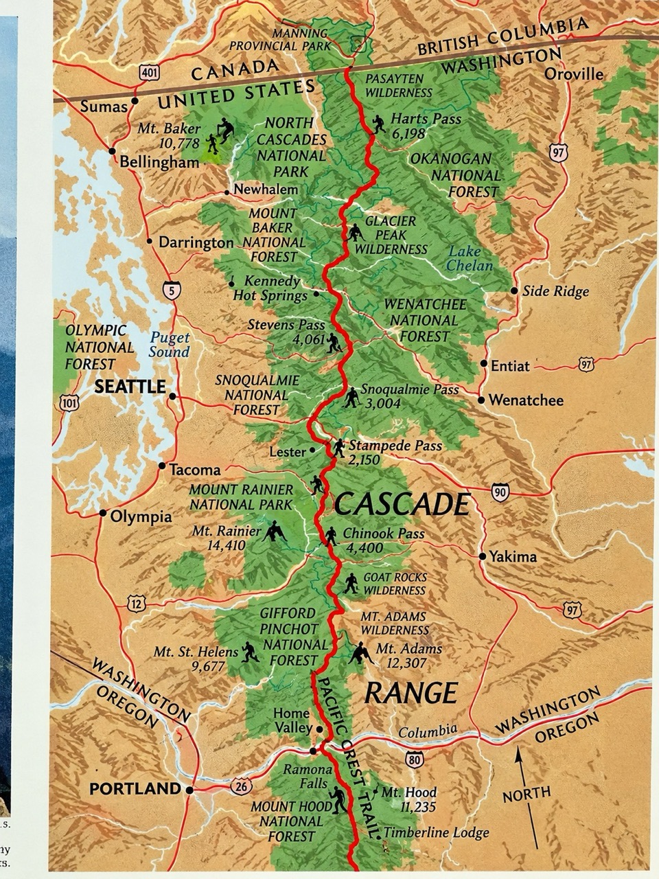
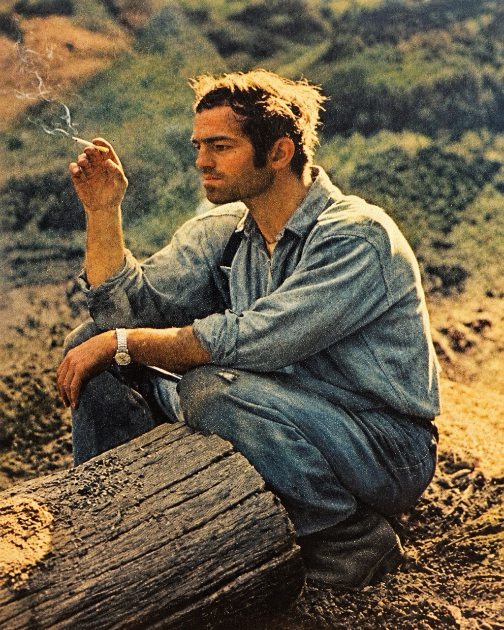
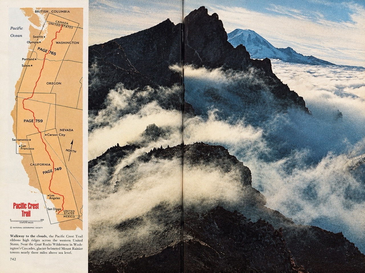
How National Geographic showed the PCT.
A Poo Story
Here’s a section I’ve been dreading writing. Bear with me.
Popular trailheads are fun, the wilderness softens into civilization. Clean sweet-smelling day hikers appear: folks on dates, happy families and dogs troddle along, looking at me, hardcore-PCT-hiker (very dirty, smelly, racing to the trailhead), a little oddly.
Now, catching the hitch to Bishop, over Bishop Pass into South Lake, requires good timing — get to the trailhead too early and no one is headed down into town; too late and you might be stranded in an empty parking lot. Late in the afternoon, I was moving with haste. And also, in a second sense, I was dealing with a hasty movement. When I first get into the wilderness, it can take me a day or two before I’m comfortable to finally “go”, if you know what I mean. And also at the end of a stretch of trail, my bowels act up with the prospect of a proper toilet, and I knew South Lake had a nice bathroom just down the trail.
I was enjoying it right up until my bowels decided it couldn’t hold out any longer. I ducked behind a bush. It was urgent, and given the circumstances, substantial. I had just finished and was reclaiming my dignity when I heard a jingle, and a golden retriever came bounding around a bush right up to my masterpiece, with the pure indiscriminate joy that goldens personify. His family just round the trail, I quickly got myself presentable and hiked past them. Not my proudest moment.
I hear behind me, “Teddy! Where are you? — oh, there he is — OH MY GOD! Teddy! look at this! —what have you been eating?!” And because they were good dog owners, I saw them bagging it up. I know I shouldn’t have left it like that. Leave no trace they said back at Day 0. But like with Cherry Chapstick, maybe this is just another example of how the trail provides…?
Gear, Zeroed In -- Backpacking Theory - By the High Sierra, I was quite “zeroed in” on my gear and my daily schedule. There are a couple of books (e.g., The Complete Walker by Colin Fletcher) that go into backpack “theory” -- how you carry the kitchen, pantry, bed & linens, closet, bathroom, living room, medicine cabinet, media & entertainment center, roof & walls -- a whole home in miniature -- on your back. Pretty amazing how much thought and technological development has gone into the gear most thru-hikers bring with them. There’s been quite the evolution over the last 100+ years, with a ton of new ultralight and “cottage gear” options just in the past ten years. Nobody wears hiking boots anymore -- just trail runners with a gaiter. ≥ 90% of packs worn are made with dyneema. Even if people use totally different brand names, most have coalesced around the same basic design for water filtration systems, tenting, sleeping bags, clothes etc. There’s lots of content out there that make it easy to take advantage of all this accumulated tech & experience.
The basic idea of “ultralight” is that shaving a few ounces per item adds up to pounds off your back, which over hundreds of miles means a more comfortable pack and more miles per day. I found a PCT gear guide from 1975, and many of those hikers were carrying three to four times what people carry now. Cottage gear fits the same philosophy: small independent makers, often thru-hikers themselves, obsess over every design detail in a way big outdoor brands don’t, so you get lighter, more durable, better-thought-out gear, even if it costs more, takes weeks to arrive, and has no brand name you’d recognize.
By Tahoe, I’d figured out the absolute minimum I needed to carry day-to-day -- and then still always packed a little too much anyway. No iPads, tho.
Food prep is an issue. I learned how to prep for and carry 4-6 days’ worth of food. You want to carry as many calories as you can, as lightly as possible. But then tastes are an issue. My culinary taste has really evolved and got challenging hiking every day. Food I thought I’d love, and find efficient, started to taste like vomit (certain energy bars come to mind). I ended up doing a lot of “cold soaking”: oatmeal + cocoa for mornings, noodles or beans & rice dishes for dinner, which meant I didn’t need to carry a stove & gas. Those high-sugar protein bars were a tasty way to shove 200 calories into my face when I needed the boost.
There is a strange numbing of my taste buds at high altitudes too. Flavors just don’t “land” the way they do at sea level. To compensate, I and plenty of other hikers found ourselves chasing more aggressive hits of spice; Flamin’ Hot Cheetos became a trail staple, less for the cal-to-weight ratio and more for that necessary kick and crunch, and ultralightness. It’s hard to say if it’s the altitude alone or a perfect storm of factors -- cold air, dry-mouth, utter exhaustion, the sheer caloric desperation of hiker hunger -- but up high it was certainly peak blandness.
Water is a constant issue, but eventually it becomes quite easy to manage. I had a ceramic filter with 0.1-micron holes, filtering out basically everything but clean water, with a gravity system: I’d fill a dirty-water bag and let it drain into my clean bottles while dealing with other camp chores. For whatever reason, practically everyone used Smart Water brand plastic bottles -- good quality plastic, and the screw-cap thread matches most filters. After a few weeks they look totally beat up, which I kind of took pride in.
We all use a trail map app (FarOut, or GutHook), and folks report on the conditions of springs & streams in the comments. So you can check what’s ahead and have a pretty good idea of exactly how much water to carry until the next reliable source.
Some of the trail’s personality came out in those reports too. I remember hiking through the Mojave wind farms on a particularly windy day -- getting tossed around in high heat, with smoke from local fires -- when I read a comment: “These wind farms are outrageous. Someone needs to tell these dang wind farmers their fans are blowing too hard. And can we do something about the solar farms too…?” Chuckle chuckle. Reading it back now, that’s a little cringe -- but I was genuinely laughing in the moment, when getting shoved around by the wind and hiding from the sun, I found it the funnest thing that week.
MedEvac - I saw my second helievac in the High Sierra -- and actually called it in. Just before reaching Mammoth Lakes, about day 63, near Duck Lake, I ran into a Dutch hiker who had stopped. He was surrounded by about ten other PCT & John Muir Trail hikers. He said he couldn’t take another step. He’d been hiking on a bad knee/shin/leg for at least 50 miles. Looking at his foot, it was noticeably swollen and “wrong” looking -- discolored, visibly not right. Though honestly, I don’t want to exaggerate , it don’t look like it’s fall off any time soon. More like a bad but recoverable soccer bruise.
We calculated that the nearest trailhead was a solid 15 miles away, over a mountain pass -- too far to carry him that day. Some folks tried reaching help via satellite tracker, while I was tasked with the job of getting to the pass, where I’d hopefully find cell service to call 911. (Our map apps show almost exactly where different carriers have mobile coverage, amazing, and it looked like I’d pick up Mammoth Lakes towers from the pass.) Along the way, I ran into two nurses with search & rescue experience who said they’d run to help.
When I called 911 from the pass, it felt like the rescuer needed a bit of rescuing himself. I was connected to the Mono County Sheriff’s Office -- but once they understood the hiker was on the other side of the ridge, in a different county, it became a Fresno County issue and they tried to transfer my call. The transfer sent me to a dead number. It took a few more calls until I finally found an emergency operator who said they would help & took the lat/long and details, before I finally got confirmation that a helicopter was on its way. They also told me the satellite tracker had already made the report -- my call was redundant. Thanks anyway.
Maybe 15 minutes later, hiking down toward Mammoth Lakes, I saw the helicopter -- Mono County Sheriff logo on the side -- heading toward their location. His trail name became “Flying Dutchman.” 4
I later learned they carried him down the trail to a clearing, where a stretcher was lowered and he was flown to the nearest hospital. Flying Dutchman was somewhere around 65. It turned out to be an overuse injury -- minor, in the end -- and he was back on the trail not long after.
Hiking the PCT, you mostly feel alone. But during peak season, there are actually quite a few people nearby -- you just don’t notice, since everyone’s moving in the same direction at roughly the same pace.
{…insert visualization…}
Flying Dutchman lying there on the trail connected with over a dozen people very quickly. As alone as you are in the remote wilderness, the trail is a real community, especially in the Sierra along the JMT. Even outside those popular stretches, I suspect that if you ran into trouble, you’d be surprised how quickly people would appear & help.
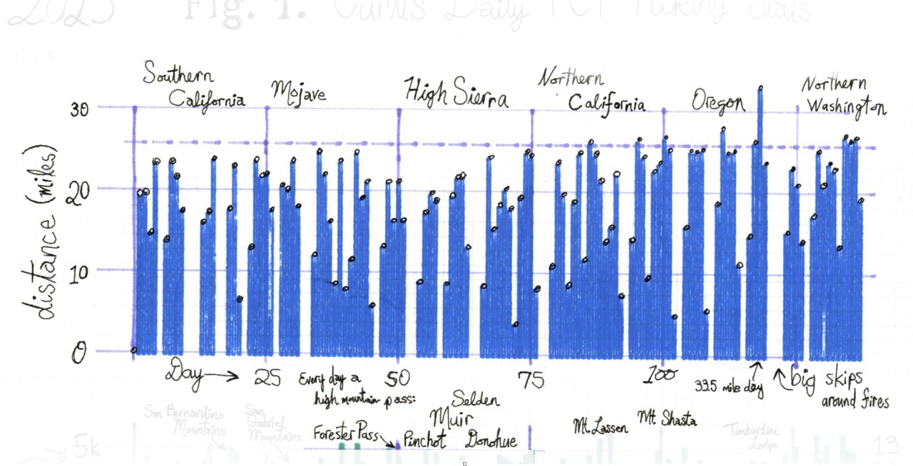
Town Days - Zeros & “Neros” - All hail glorious Nero. The average number of zero days PCT hikers take is about 18, I took 26 (and considering I skipped many miles (getting back to most of them in Oct & Nov), that’s a lot relative to the norm). I also took a bunch of “Neros”, ie “near zeros” days. Where I’d leave the trail early, run into town, and get back to the trail the next day, often starting later in the day.
Those town days became huge luxuries. An exercise of excess. If you can manage store opening hours and a hitch well, resupplying often only took a few hours, and in the rest of that time I’d just relax and overeat greasy comfort foods. You can see in my stats, all those empty bars in steps and miles are my zeros. By Mt Shasta, I could eat a full extra-large pizza all by myself, in one sitting (and still be hungry for dessert). One of my proudest moments on the trail. And I met a bunch of people who could eat me under the table. Everyone else seemed to have their own town routines, but it usually involved getting washed & well fed.
Trail Angels - Hitches — Many of those trail towns were a lot of fun, and each area had its own distinct relationship with PCT hikers.
Up in Idyllwild, near Mt. San Jacinto, I needed to get down to Paradise Valley Cafe — about 20 miles away, down a highway that drivers were unlikely to be headed. I assumed I’d need multiple connecting rides and half a day to piece it all together. I set out at 7am on a Sunday (a seemingly terrible time to be thumbing for a hitch) and yet within an hour I’d found two connecting rides and was at the trailhead by 8am, no payment required.
In Big Bear, a very nice woman, an older retiree, introduced herself while I was shopping for leukotape at a drugstore. She offered to drive me around town, even volunteering her daughter to pick me up the next morning to drop me back at the trail. Other spots — Stehekin, Etna, and Leavenworth come to mind — most hikers had to call ahead and pay a decent sum for a ride. At Scissors Crossing near Anza-Borrego, there were one or two trail angels making a modest living off paid rides -- and more than a little annoyed at the friendly folks up in Julian giving rides away for free. I heard them complain about how little German hikers tipped. I had one driver near Etna offer to give me a ride for a fee, and then angrily proselytize Christianity to me. Some hikers I saw were offended when it was suggested they should pay for a ride, while many drivers would only pick you up knowing they could make a little cash in the doing. And just as often, you’d find a hitch who was mildly offended to even be offered money…
I hope you get the idea, lots of varying opinions about how trail angels & hikers should interact, often contradictory, and strong feelings about how commercial the trail should be.
The pattern, roughly: towns with larger populations, lots of outdoorsy locals, tourists, and retirees, and well-trafficked roads near the trailhead — Wrightwood, Big Bear, Bishop, basically all of Oregon — made hitching easy and usually free, with folks happy to help and chat. These folks were most likely to get offended to be offered money.
But in spots with long, out-of-the-way drives, you might wait a long time or have to pay for a shuttle. The handful of people doing those runs had probably talked to so many hikers by then that they weren’t especially curious about your story -- and a few of them mentioned that some hikers had acted entitled, genuinely offended to be asked to pay.
It was just fascinating to see how many distinct equilibria emerged around helping hikers hitch, trail services, place to place. Despite all the variation, none of it struck me as unreasonable. Many hikers are young and broke, hiking their dream, steeped in norms of mutual aid, expecting a gift economy, and can feel genuinely wronged to be asked to bring money into the mix (It reminds me of Al Roth’s research on “repugnant markets”5).
Many hitches are happy to operate there. A lot of this operates as tipping, & many Europeans don’t understand American tipping norms. Those Julian drivers come to mind, they’d been offering rides for well over a decade. By the thousandth hiker, individual stories lose their significance, the chat is no longer much of a compensation, at which point getting paid a bit is both welcome & fair. Meanwhile, a driver making dedicated out-of-the-way runs was never really in the gift economy to begin with; their time and gas have real costs, and there’s nothing wrong with that (I mean, they often just called themselves a shuttle at that point). Most hikers accept paying cash for a service, or at least help cover costs, the “gas, grass or a**!” norm. With the gift economy vs market tension, folks might not know which norm the other is operating under at first – a norm collision that can tip into genuine grievance when a hiker or hitch runs with the wrong expectations, or when driver resents the free riders.
Adam Smith did not hike the PCT, but he would have had thoughts!
InsideOutside - I’m not exactly sure how to describe this, but I slowly discovered the joys of a long-term “outside life.” I obviously normally live in a house, drive a car, work in an office. I’m an indoor creature. That being my normality makes it hard to appreciate how different things can be. Modern life offers excellent temperature management; it keeps out the bugs and the moistness, and the sun rarely hits my face directly. But if you sleep outside for 150 days, that comfort bubble vanishes. It took a while to adjust. Even with sunscreen and a hat, the environment claimed its pound of flesh: my hair & eyebrows developed blonde highlights, and after just one week of hiking without gloves, I had scary looking “lobster hands.”
Managing cold, heat, and moisture becomes an everyday obsession, especially when trying to keep gear weight & volume to a minimum. Wind, rain, snow, and sun all play a role in your internal thermodynamics. If you’re moving, you’re warm, but the second you stop, you keep sweating and that wetness becomes a liability. If it’s cold out, that sweat gets cold very fast. Then there are the bugs—mosquitoes, ants, and wasps—who were all massive fans of my face. I managed to never use DEET or other chemicals but completely understood folks who did. It’s interesting how annoying this all sounds (& can really be in practice, in the moment), but with a bit of planning and the kind of gear strategies people debate endlessly in online forums, you learn to stay reasonably comfortable. Practice makes perfect. And honestly, a bit of discomfort eventually just feels like part of the fun.
I finished at the Northern Terminus Sept 18th, but then hiked another few months picking up stretches I had skipped. By my final day in late November, I found myself in a freezing sleet and snow storm near Jawbone Canyon. I was being pelted by freezing rain and buffeted by the wind, but dealing with the elements had become routine. I had the right shell, the right layers, I knew the drill, and I was genuinely enjoying my last few miles as the desert turned into a winter wonderland. Being that in touch with the raw outside world didn’t just change my perspective on spending time in the wilderness; it gave me a bone-deep appreciation for the little comforts of home.
Weather and optimal hiking times - Going back over skipped parts of the PCT in Oct and Nov taught me why basically everyone (or at least most people) thru-hike northbound in the standard window: April to September. Even in October in California, the weather lotto drew poorly for me and I had freezing nights. Cold and wet weather incentivizes you to carry more clothes. Snow and ice means even more gear. Cold also means I suddenly really want to carry a stove for warm meals and hot coco. All that gets heavy, and weight makes me slow.
And even when the gear is “right,” just managing it takes time. Layers on, layers off. Trying to stay warm without soaking myself in sweat. Moisture management becomes more of a task. Plus, there are far fewer people on trail, so hitches take longer. Everything is just… harder and slower.
But across the PCT during those optimal date ranges, again April → Sept for NoBo hikers, the weather is usually very nice. The desert is certainly hot, but totally manageable, with plenty of water sources and prepared water caches. The high mountain ranges can get wet and cold, but again, totally reasonable with fairly light gear. Nothing like what happens in fall and winter. If you hike fast enough, the weather more often than not is just perfect. I never had a freezing night in the High Sierra, for example. And despite my thunderstorms and hail storms, we actually had a pretty dry summer season in 2025.
But by October, much of the trail’s mood had turned. I already mentioned the Mojave, famously hot and dry, giving me a sleet storm in late November. I had sleet and snow in the Oregon Cascades and Northern California. And the Canadian section, from Manning Park, BC to the border terminus, had a couple feet of snow.
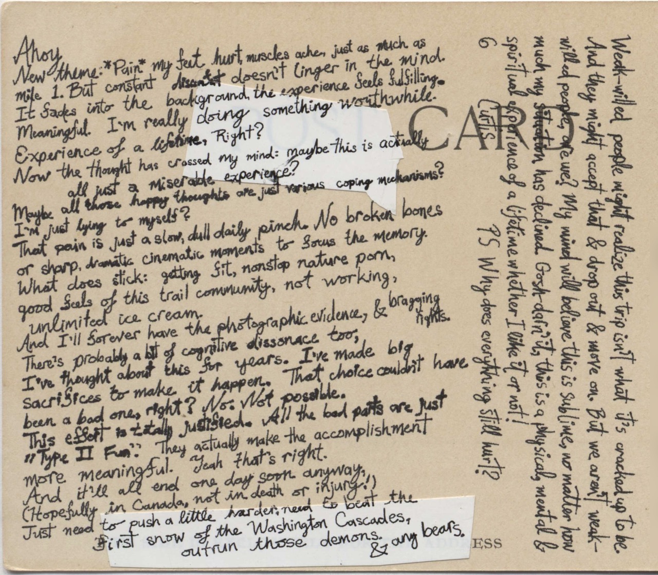
Ahoy,
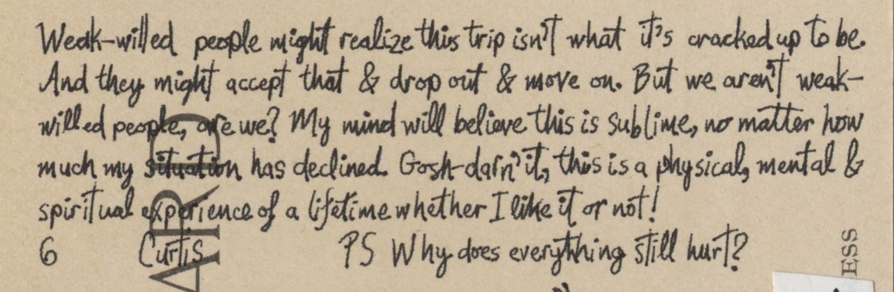
New theme: Pain my feet hurt, muscles ache, just as much as mile 1. But constant discomfort doesn’t linger in the mind. It fades into the background, the experience feels fulfilling. Meaningful. I’m really doing something worthwhile. Experience of a lifetime, Right?
Now the thought has crossed my mind: maybe this is actually all just a miserable experience? Maybe all those happy thoughts are just various coping mechanisms? I’m just lying to myself?
That pain is just a slow, dull daily pinch. No broken bones or sharp, dramatic cinematic moments to focus the memory. What does stick: getting fit, nonstop nature porn, good feels of this trail community, not working, unlimited ice cream. And I’ll forever have the photographic evidence, & bragging rights.
There’s probably a bit of cognitive dissonance too; I’ve thought about this for years. I’ve made big sacrifices to make it happen. That choice couldn’t have been a bad one, right? No. Not possible. This effort is totally justified. All the bad parts are just “Type II Fun.” They actually make the accomplishment more meaningful. Yeah that’s right.
And it’ll all end one day soon anyway, (hopefully in Canada, not in death or injury!) Just need to push a little harder; need to beat the first snow of the Washington Cascades, outrun those demons. & any bears.
Weak-willed people might realize this trip isn’t what it’s cracked up to be. And they might accept that & drop out & move on. But we aren’t weak-willed people, are we? My mind will believe this is sublime, no matter how much my situation has declined. Gosh-darn’it, this is a physical, mental & spiritual experience of a lifetime whether I like it or not!
Uncle Curtis PS Why does everything still hurt?
Talk more about pain & suffering - Memories - Don’t get me wrong: everything hurts every day, but it was a dull, manageable pain. Pain is an interesting thing. My trail diary has a “pains” section where I logged that day’s pains (I’d start every entry with “Dear Diarrhea,” lol). I listed tooth pains, blisters, sunburns, chafing, heatstroke. Chronically sore feet, ankles, knees, toes, shoulders, neck & back. My knees were popping for a few weeks. Eventually I learned that if I stopped slouching, the knees would stop popping (?!). Calluses formed into corns that would needle my toes if I walked certain wrong ways. I had a sprained ankle that took weeks to heal. The bottoms of my feet were losing feeling, they’d get tingly in town days. Coughing and elevation headaches. Mosquito bites. A few wasps spent hours trying to break into my tent. Soaked gear, gear covered in forest fire soot. Sometimes it would take days to dry out my tent, sleeping bag, and clothes. Chafed nipples. Occasional poo problems. Hard to breathe with smoke from nearby fires. Sometimes too hot, sometimes too cold and freezing. I’d sweat too much and overheat; I’d sweat too much, then stop, and my wet sweat would make me freeze.
By the end, near the northern terminus, I stopped having specific pains. My pain notes are just roughly: “mild pain, just sore” each day.
But it’s interesting: I wouldn’t remember those pains & discomforts if I hadn’t kept such detailed notes. It’s certainly not what comes to mind when I think about the trail.
I was talking with a few hikers and we jokingly said, “The pct is like giving birth”. Yes, lots of pain, discomfort at least, but that’s not what you remember. In the moment, the pain is quite salient and annoying, daunting sometimes. But then it’s over, and your mind has moved on. You just remember the good stuff. What’s the baby in that metaphor? The trail is the birth canal? No that doesn’t sound right. Maybe you give birth to your new self…?
The cool stuff seems to stick in the mind more. That Washington thunderstorm was a loud, scary and uncomfortable near-death experience, sure, but the thing I remember most was the story about the insane ultra-marathon runner (I’ll get to that in a bit), my ability to sleep through most of it, and the sights of the forest afterwards. For the high Sierra, as much as the granite steps, streams crossings, and mosquitoes sucked, I mainly remember the amazing views and interesting things to see every day. The sleet storm in the Mojave was a little uncomfortable, but I remember just how beautiful a snow covered desert is, and seeing my grandpa pick me up in his red Ford F150, waiting with a dozen glazed donuts.
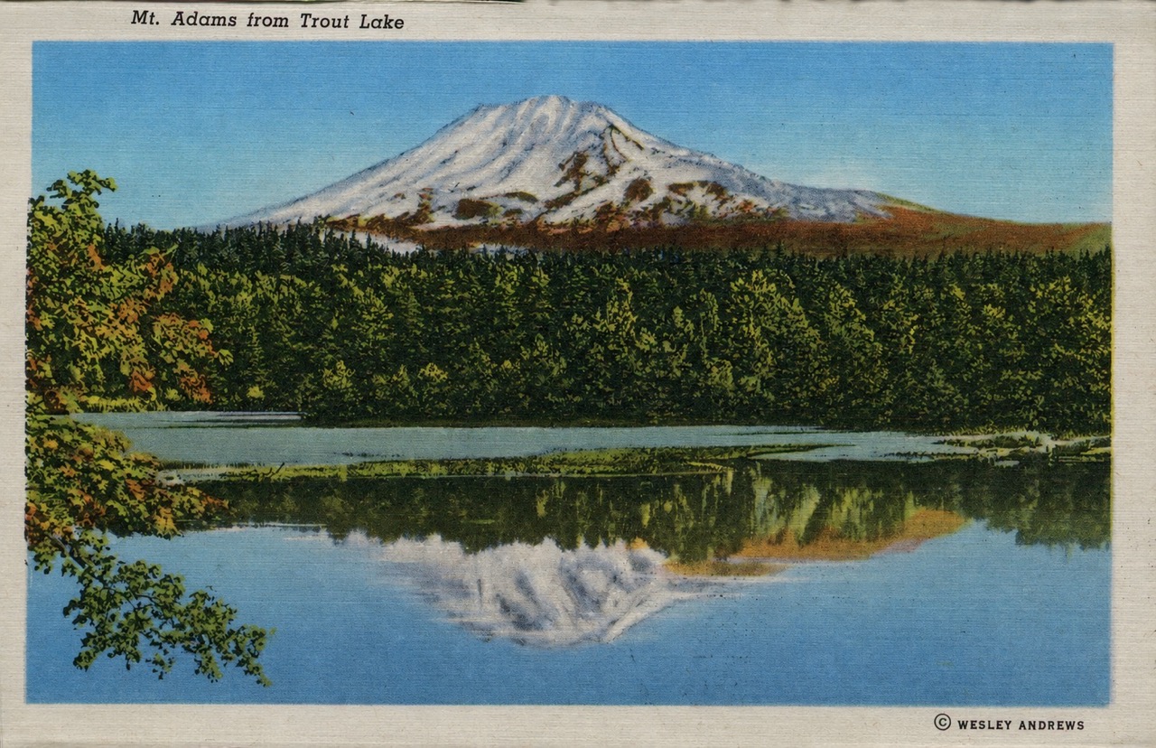
Mental Experience
Type-II Fun — In thru-hiker culture (and maybe extreme sport culture more broadly) there’s this term: “Type II Fun.” Where Type I Fun is fun that’s fun while you’re doing it, Type II Fun is the stuff that’s kind of un-fun in the moment you’re doing it, or at least looks grueling from the outside, but later, in memory, you and everyone else agree it was, in fact,… fun. (And Type III Fun is the stuff that’s just not fun at all. And Type IV Fun is.. death? I think that’s the taxonomy, anyway.) My experience of the trail is probably the perfect example of Type II Fun.
Painful Cognitive Dissonance — The other funny thing, I’ve been thinking about this trail for a decade. I used to fantasize about hiking all day, every day, imagining myself in the wilderness, having a blast. Now I’m actually doing it… writing in a journal… Now I’m writing about my memories of having done it…. Imagine if I didn’t enjoy myself? What a waste. No way. No chance. I suspect even if I hadn’t liked it, I’d still put in at least 1,000–1,500 miles and tell other people (and myself) that it was a great experience. I’d shove down the memories of pain and discomfort and keep the highlight reel.
But no, really: this actually was fun for me. Trust me.
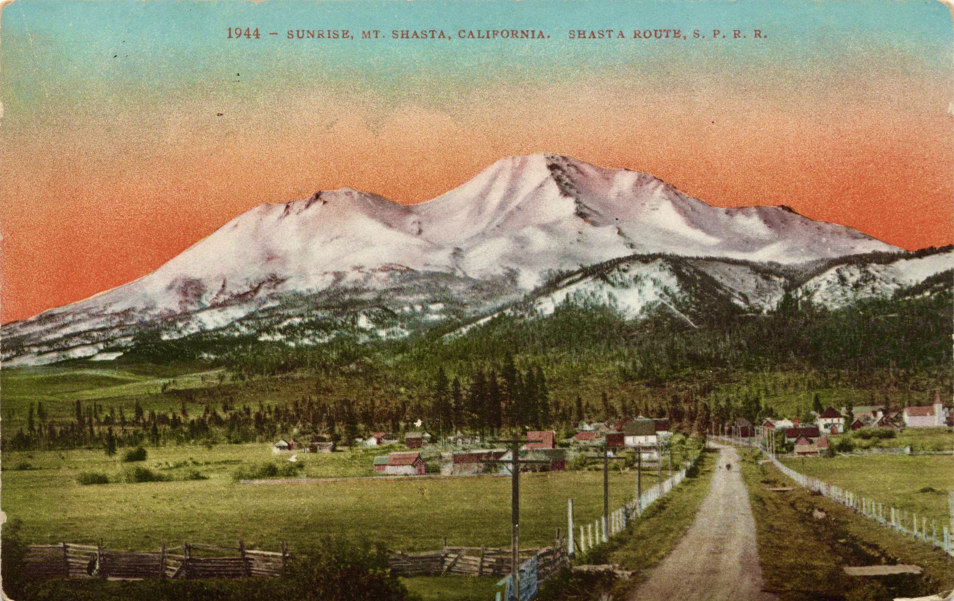
Ahoy!
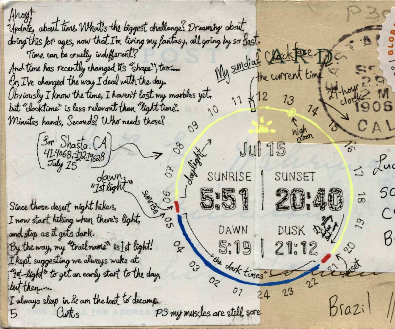
Update, about time. What’s the biggest challenge? Dreaming about doing this for ages, now that I’m living my fantasy, all going by so fast.
Time can be cruelly indifferent?
And time has recently changed its “shape”, too…. Or, I’ve changed the way I deal with the day. Obviously I know the time, I haven’t lost my marbles yet, but “clocktime” is less relevant than “light time”. Minutes, hands, Seconds? Who needs those?
Since those desert night hikes, I now start hiking when there’s “light,” and stop as it gets dark. (or when I’m too sore)
By the way, my “trail name” is 1st light! I kept suggesting we always wake at “1st-light” to get an early start to the day, but then….. I always sleep in & am the last to decamp.
5 Curtis PS my muscles are still sore.
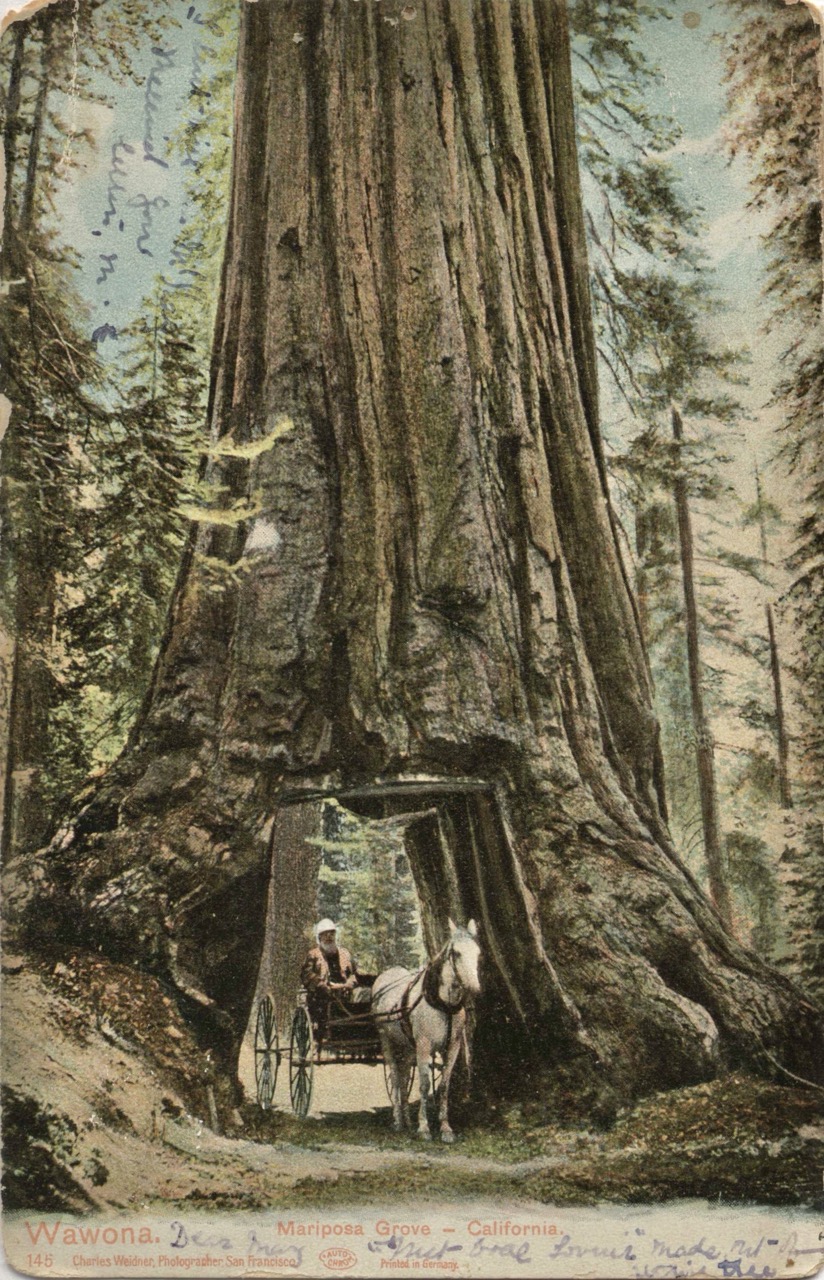
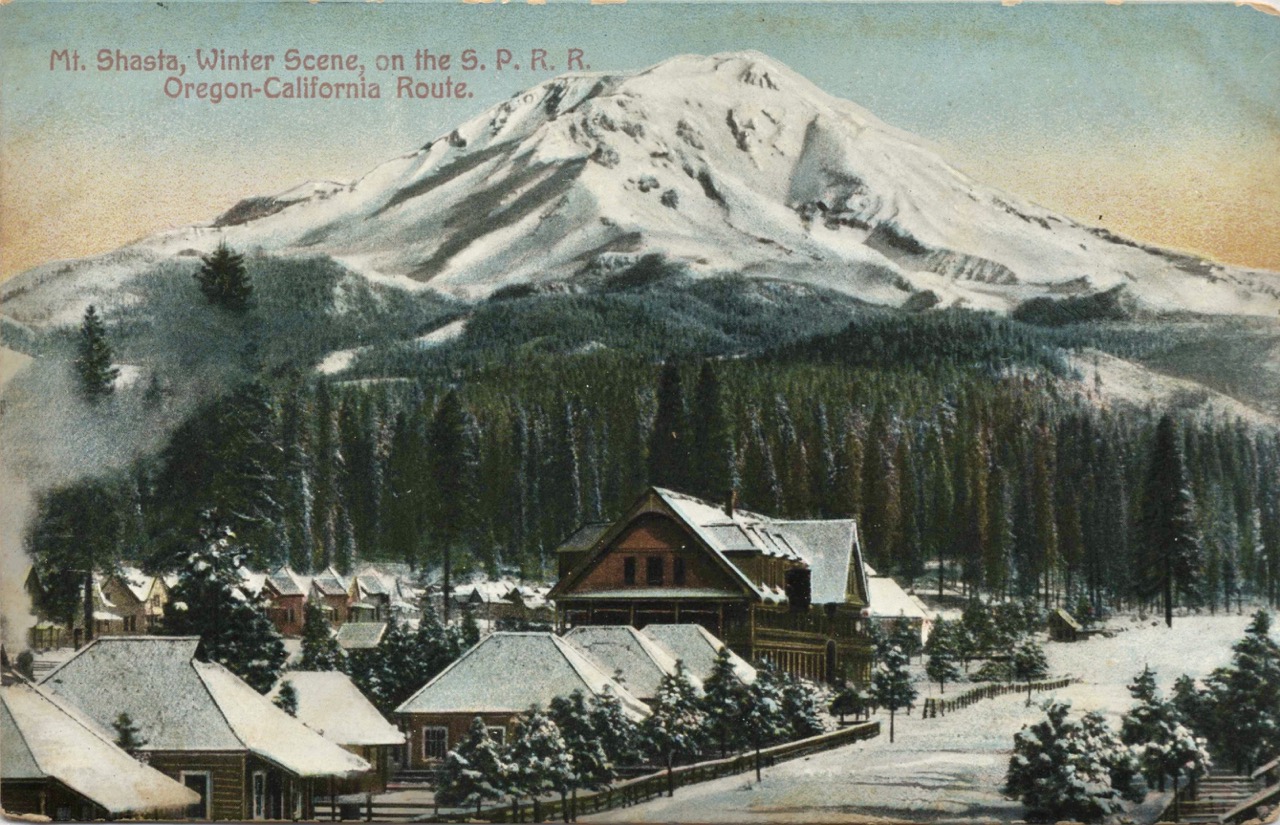
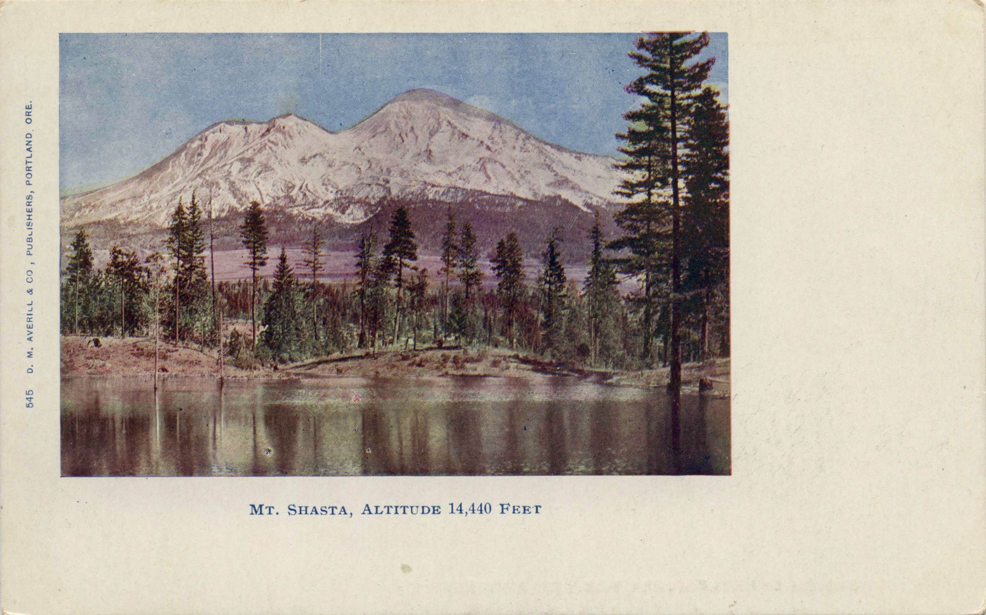
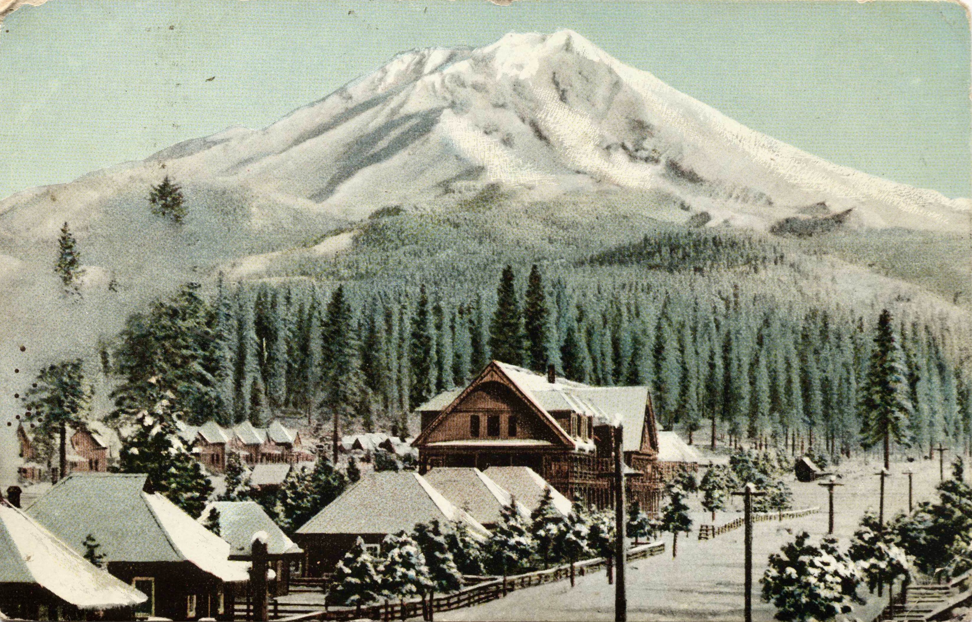
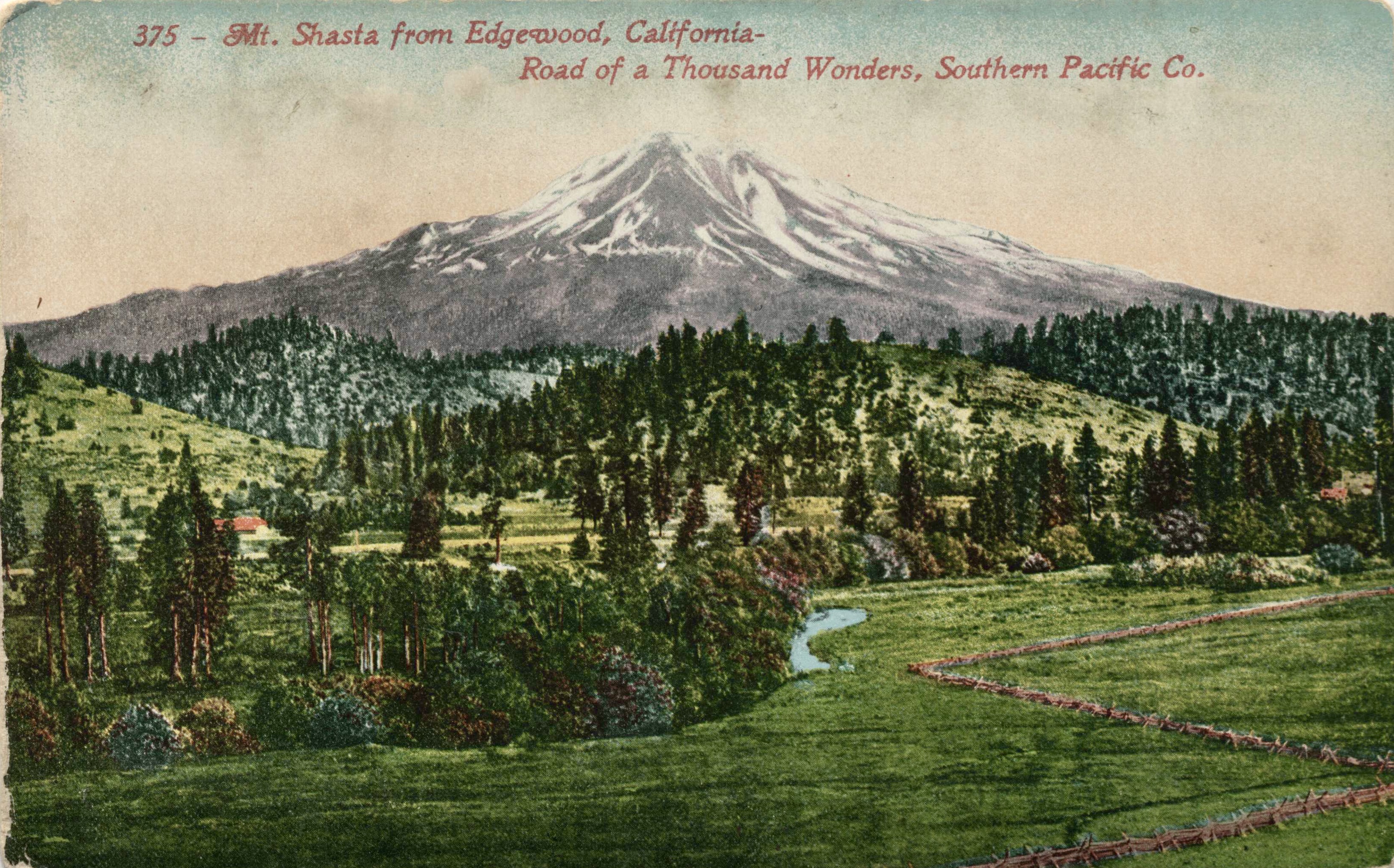
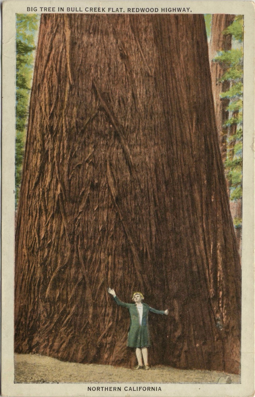
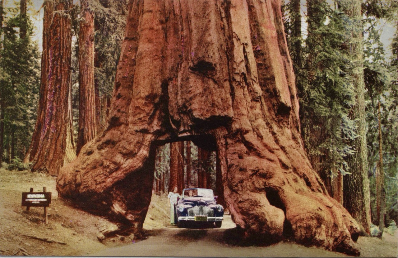
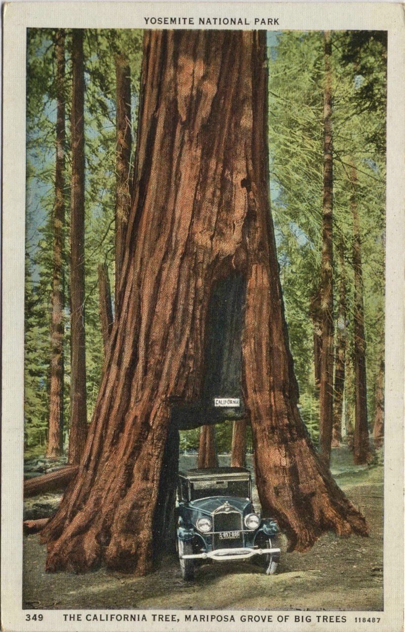
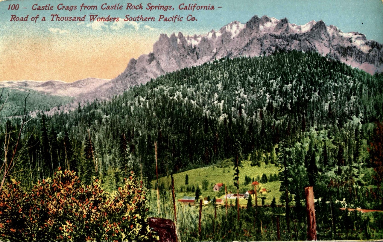
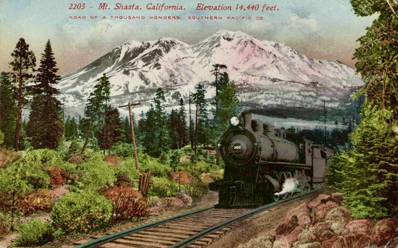
Mentally Challenged - the boredom - it’s funny to even think or foresee this as a challenge. But back in civilization, with a job, friends and families, you’re busy. Phone & computer screens occupy a lot of time. Now imagine removing opportunities to engage in those activities, removing the distractions of a screen connected to the internet. Yeah, you have the world around you, which is mostly quiet, and the thoughts in your head, which are often weird and occasionally terrifying. I certainly carried my phone with me, but I only looked at it to check the map or take photos occasionally.
How I spent my time: books - I read 39 books (audiobooks anyway), about 100 sci-fi short stories, and then I got into podcasts and listened to… way too many of those. I hiked about 1,200 hours total, and something like 50% to two-thirds of that time I was listening to something.
In hiking online forums, there’s a little movement to not listen to any music or audio while you hike. I get it, and I did some pure-silence hiking most days. But having a great story, or something interesting to learn, was also a fantastic way to pass the time. And with that kind of schedule (ie, all day every day), you can get through an absurd amount of audio content.
One strong audiobook memory I have is from the “Dixie Burn” area of Northern California (California’s largest and most expensive wildfire), roughly Bucks Lake/Belden up to Lassen NP (days 88 to 95 for me). Through that stretch, something like 80% of the trees are burned up. Several days I never walked past a live one. Most are still standing, just dead, branchless trunks. The soil is loose and sandy, this ashy black that stains your clothes & pack. With the trees dead and little vegetation left to hold the sandy soil in place, the trail is unstable, and falling trees are more likely in high winds, or if you just get unlucky. A lot of people skip this section, but I figure it’ll be a good character-building experience.
If you think that would be a slog, try reading the entirety of War & Peace.
I’ve always wanted to read what is supposedly one of the best books ever written. My copy of the War & Peace audiobook was 65 hours long. When else would I have the chance to read it all in roughly “one sitting”? We had Napoleon invade and retreat from Russia, but half the story focused on a tiny class of shallow, vacuous rich socialites with little self-awareness (which, admittedly, was part of the point). You never really get to know a single serf or lower-class character. Perhaps I’m just too used to modern storytelling styles, but I kept thinking it could have told the same narrative, with stronger emotional catharsis, in 1/10th the time. Maybe I had a bad time in the burn area and took it out emotionally on War & Peace, but it really did feel like a boring slog.
One audiobook hiking pro-tip: it’s fun to listen to scary horror stories while night hiking. Steven King’s The Long Walk is a good one (It’s about a game show where children have to keep walking or they get a shot in the head, the winner gets a prize.)
I also ended up listening to about 15 Agatha Christie murder mysteries. I got into the habit of stopping them right before the end-of-book reveal, just to give myself the rest of the day to think about who the real killer(s) was. I figured it out correctly only once.
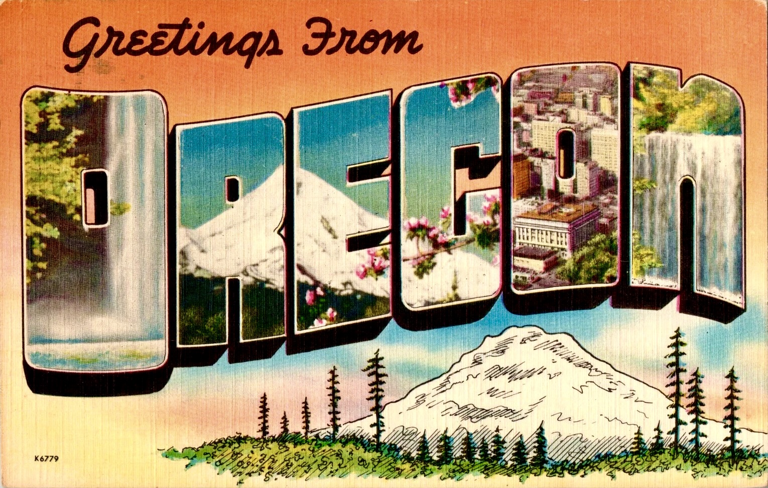
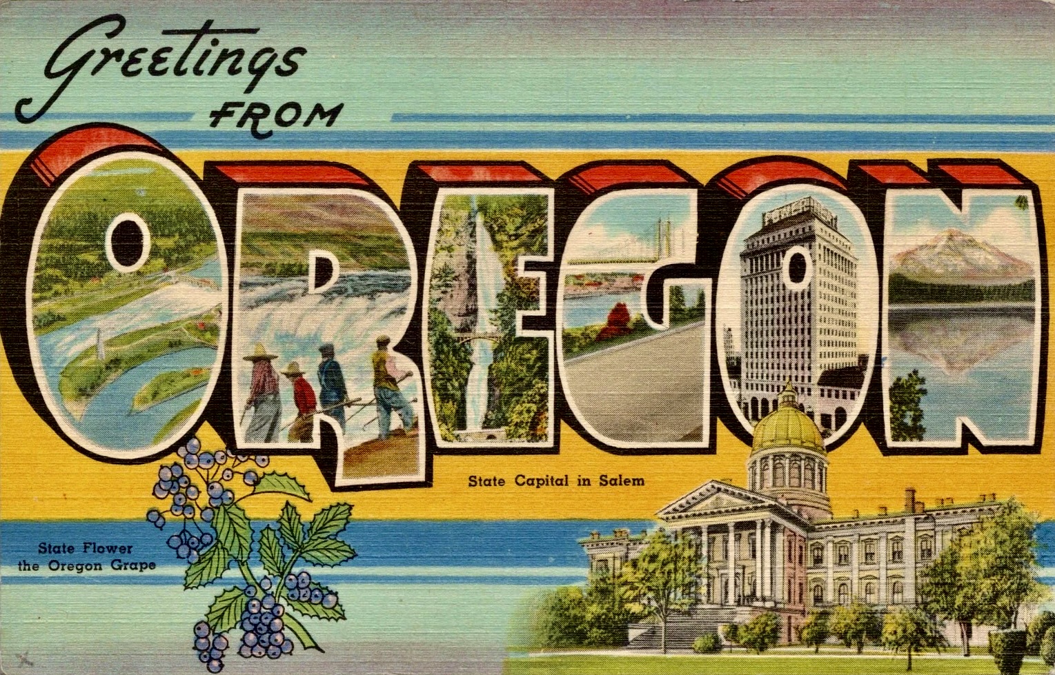
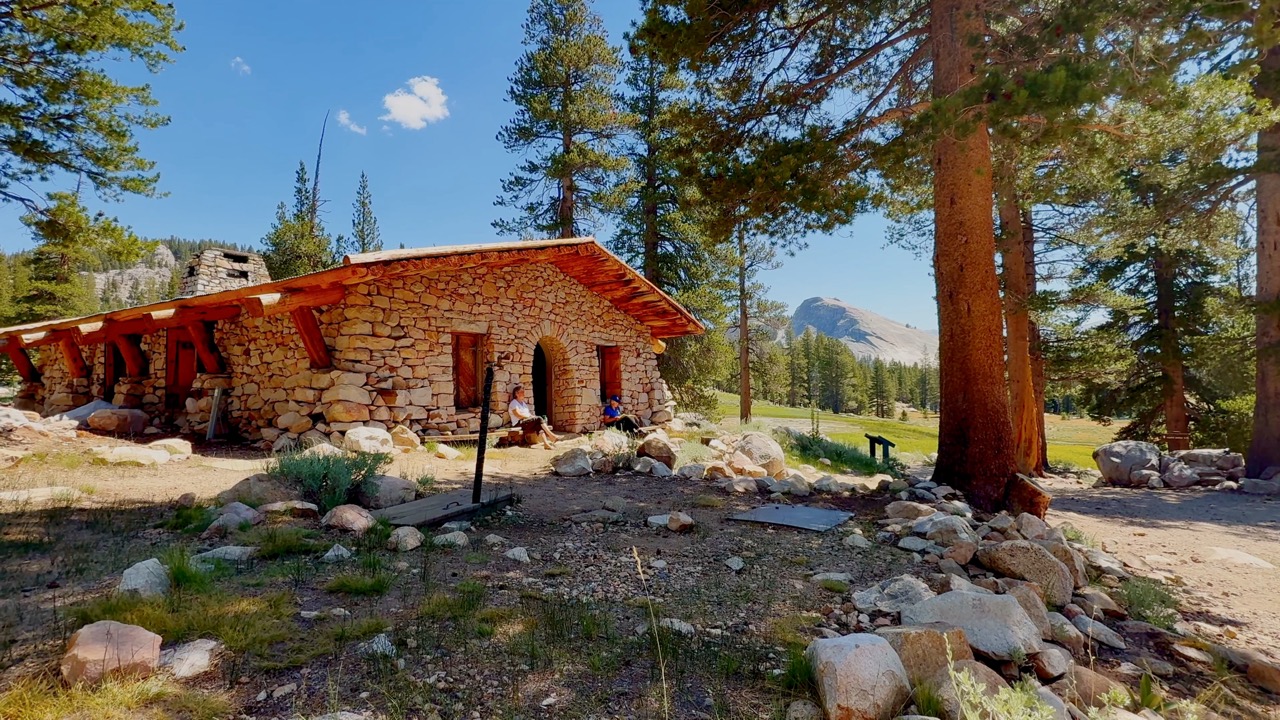
How I spent my time: daydreaming - I certainly daydreamed constantly, but the strangest repeat obsession was the development of my sprawling wilderness fantasy cabin empire. Walking through long stretches of National Forest and Wilderness, I kept imagining what it would be like to stay and live here. As I hiked, I’d deeply consider the best spot, and design an off-grid cabin ideally suited for that specific view, drainage, and foundation. Which way the door would face, where the little wood stove would go, a root cellar?, the outhouse, the solar panels. By Canada, I’d probably built and lived full, satisfying lives in at least fifteen imaginary cabins.
It reminds me of that Dick Proenneke quote (the 1960s Alaska cabin guy), (paraphrasing here) “City folks come up here, see how amazing it is. All unspoilt. Gee it’s nice here. No hustle and bustle. You can really take it easy. And it’s not 30 days until they’re working to make it just like it was where they came from, bringing all that noise.”
How I spent my time: Trail faces - I’m not a hugely religious or spiritual person, but in many ways, the PCT does feel like a pilgrimage of sorts. A secular pilgrimage. I started to appreciate why folks might want to do trips like the hajj, camino de santiago, the chota char dham, and I increasingly felt some weird connection. I read that even some CCP kids do “red tourism” thru-hikes over parts of the Long March as a way to symbolically connect with how that journey forged the CCP’s identity. I asked a couple religious folks on the trail, and they were a little offended (I think they were more of the protestant, evangelical American tradition that looks at pilgrimages as a Catholic, idolatry, corrupt commercial thing, like the idea that a journey itself could be sacred was not the right way to think about it). Hiker lingo does have terms for “trail angels”, “trail magic”, and “the trail provides”. Even if the bones of some old dead saint don’t particularly call to me to visit them, there’s this whole sacred-geography element to these things, plus the purification/test aspect, and the forging/discipline-through-difficulty part I was starting to understand.
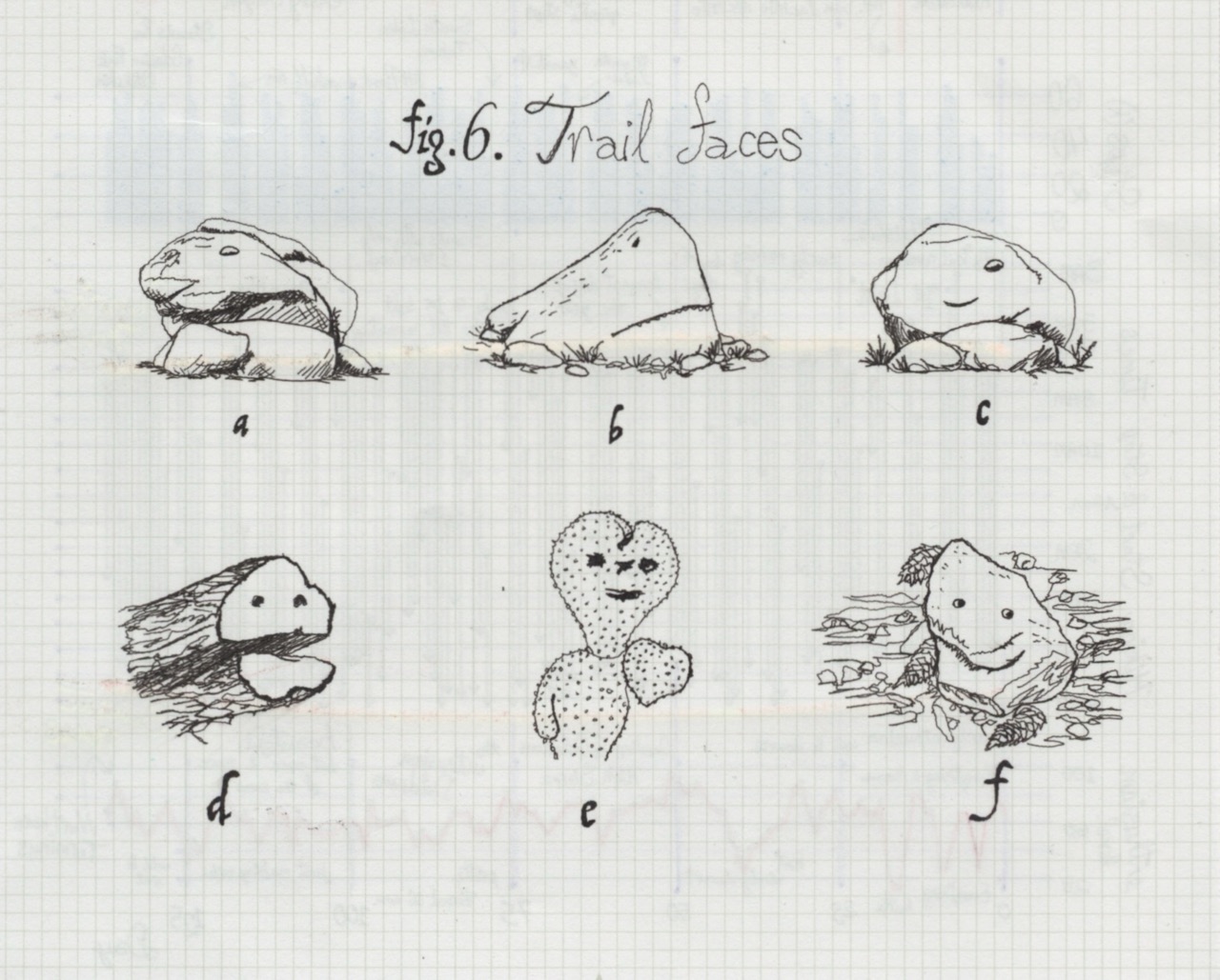
The closest spiritual experience I had was seeing a bunch of faces in the objects on the trail. I’d be hiking along, feeling good, and then I’d see smiling face after smiling face in the rocks, landscape, trees, shrubberies, assorted piles of pebbles & sticks and other things all around me. I think they call that animism.
I call 6.a “Jabba the Rock”, 6.b is “the Granite White Shark”, 6.d is a chipper log. In the desert, cacti too close to the trail sometimes had scars from the occasional hiking pole that poked it, 6.e’s is a prickly pear with scars and lobes made it look like it was smiling & waving hi. I like to think it was hoping people would hi-five it. I took photos of these objects and have an album with 170 photos now… It felt at times that I had these little spirit buddies keeping a friendly eye on me.
Now, just because I tended to anthropomorphize the inanimate objects around me when I was dehydrated in desert sections, late in the day, hungry, that might lead someone cynical to believe these were just nutrient-deprivation-induced-pareidolia-hallucinations. But I’d prefer to imagine there’s a spirit world that I, as a magical trail thru-hiker master, can occasionally tap into.
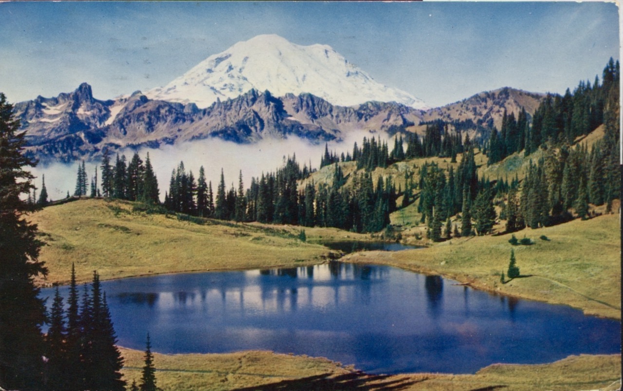
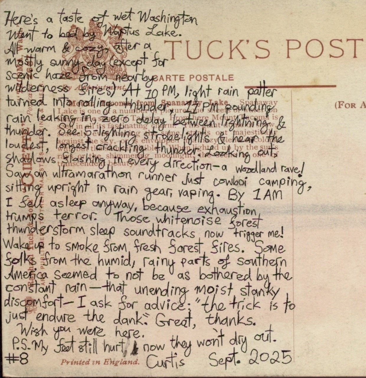
Here’s a taste of wet Washington
Went to bed by Waptus Lake.
All warm & cozy, after a mostly sunny day except for scenic haze from nearby wilderness fires. At 10PM, light rain patter turned into rolling thunder, 11PM pounding rain leaking in, zero-delay between lightning & thunder. See 5-lightning stroblights & hear the loudest, longest cracking thunder
Looking out shadows flashing in every direction, a woodland rave!
Saw an ultramarathon runner just cowboi camping, sitting upright in rain gear, vaping. By 1AM I fell asleep anyway, because exhaustion trumps terror. Those whitenoise forest thunderstorm sleep soundtracks now trigger me!
Waking to smoke from fresh forest fires. Some folks from the humid, rainy parts of Southern America seemed to not be as bothered by the constant rain, that unending moist, stanky discomfort. I ask for advice: “the trick is to just endure the dank.” Great, thanks.
Wish you were here.
P.S. My feet still hurt! & now they won’t dry out.
#8 Uncle Curtis Sept 2025
On Fear: Washington Thunderstorm — I remember one night in Washington, at Waptus Lake, I went to sleep dry. I woke up around 11pm to rain and thunder. By midnight the rain was intense in our tents. I’d see five bright flashes followed instantly by five crackles of the loudest, ground-shaking thunder I’ve ever experienced, directly overhead & all around me. This went on for some time. I heard tree falls. The heavy rain slowly snuck into my tent, not because there was a leak or I picked a spot with bad drainage, but because the rain was so much, droplets would hit the ground and bounce up under my fly and inside the tent.
Not sure how bad that sounds to you. That’s the kind of situation where I think I’d be afraid. But even then, I don’t think I ever really was too afraid on the trail. Sure, I’d get anxious in anticipation of what might happen. But in the middle of those thunderstorms… I mean, either I’d get hit by lightning or I wouldn’t. A tree would fall on me or it wouldn’t. Anxiety wouldn’t help, I wasn’t about to jump out of the way of any danger. I specifically remember sitting in my tent, calm, almost surprised that there kinda wasn’t anything to fear in the moment. I just tried to minimize how much rain got in. I wasn’t cold, or even that wet.
Those summer Washington alpine thunderstorms famously start around sunset and only run a few hours. It should be clear by the morning and I’d love to get another early start. Eventually I fell asleep to the heavy rain and thunder.
Even the disappearing scary (homeless?) guy in southern California didn’t make me particularly scared in the moment. There wasn’t anything I could do. So I just kept hiking, or I was exhausted and went to sleep.
Just “sleep away the part of the day I cannot hike away.”
Wildlife - Ultramarathon Runner in a Thunderstorm — During the thunderstorm, a friend was tented nearby, and she had an ultramarathon runner guy set up next to her (in case you don’t know: these are folks who “run” 60+ miles in a day). She had a typical tent with a rainfly like most hikers. Ultramarathon runners in the backcountry typically only carry a small day pack. This guy was just cowboi camping. (Which sounded a bit crazy to me. Didn’t he see there was a chance of thunderstorms in the forecast?)
Once the thunderstorm started, he only had a light shell. He moved under a small conifer, back to the tree, feet outstretched, arms akimbo. My friend said he just sat there & lit up a fancy cigar. She didn’t have room in her one-person tent, and he told her he didn’t need shelter anyway, because he was planning to start running again at midnight. And then, in the middle of the storm, he eventually just took off, finishing his run in the middle of the raging thunderstorm.
Ultramarathon runners are funny to watch on the trail. I remember seeing folks in the backcountry, dozens of miles from the nearest trailhead, a sizable mountain pass away, with just a small pack and the intention of running (well, usually fast-walking, because ultramarathon “running” is its own thing) those miles back to their car without stopping.
Hiking the next day after that intense thunderstorm, as I got up to a mountain pass, I could see a bunch of fires had started overnight in the forests all around me.
Wildlife - Bears
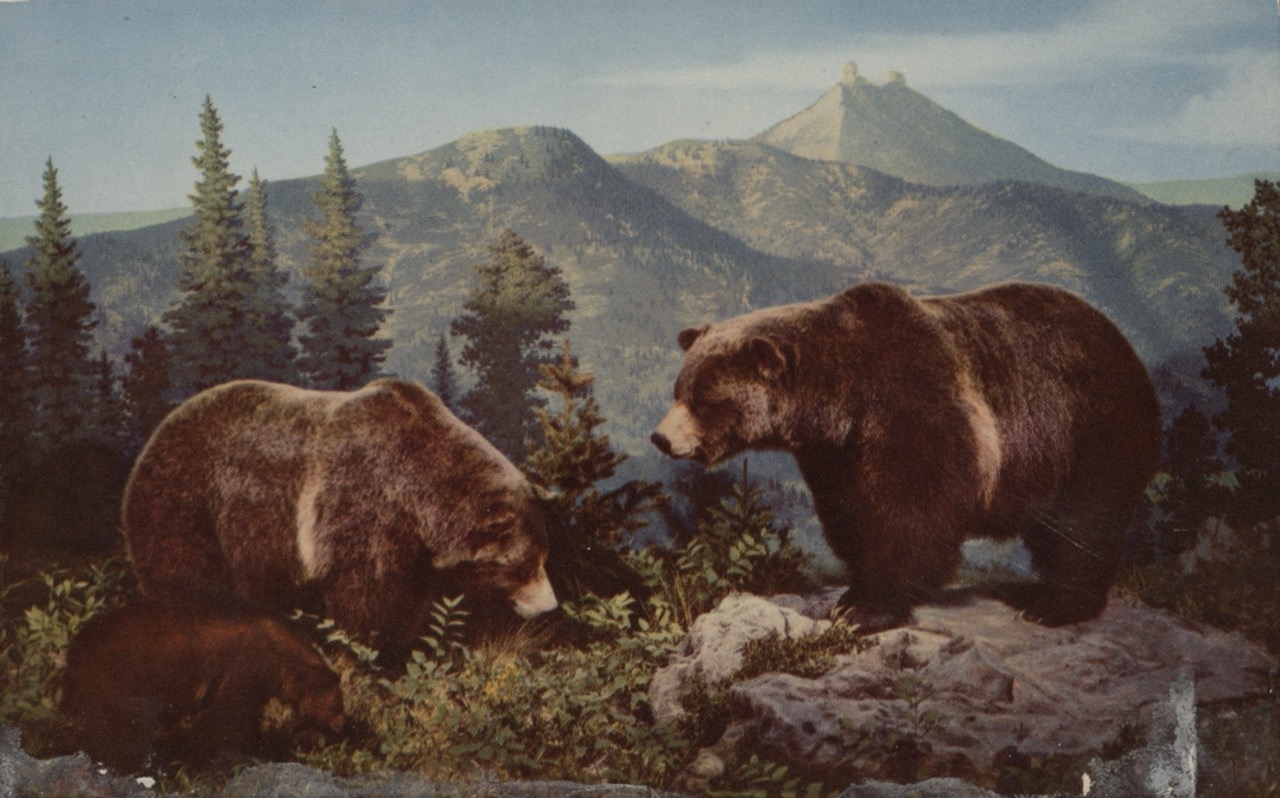
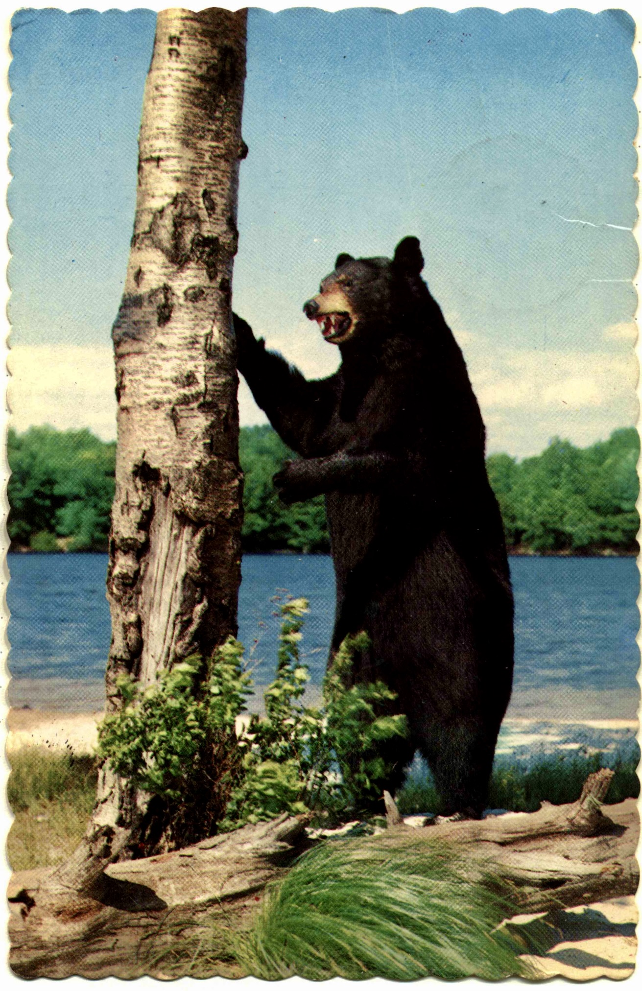
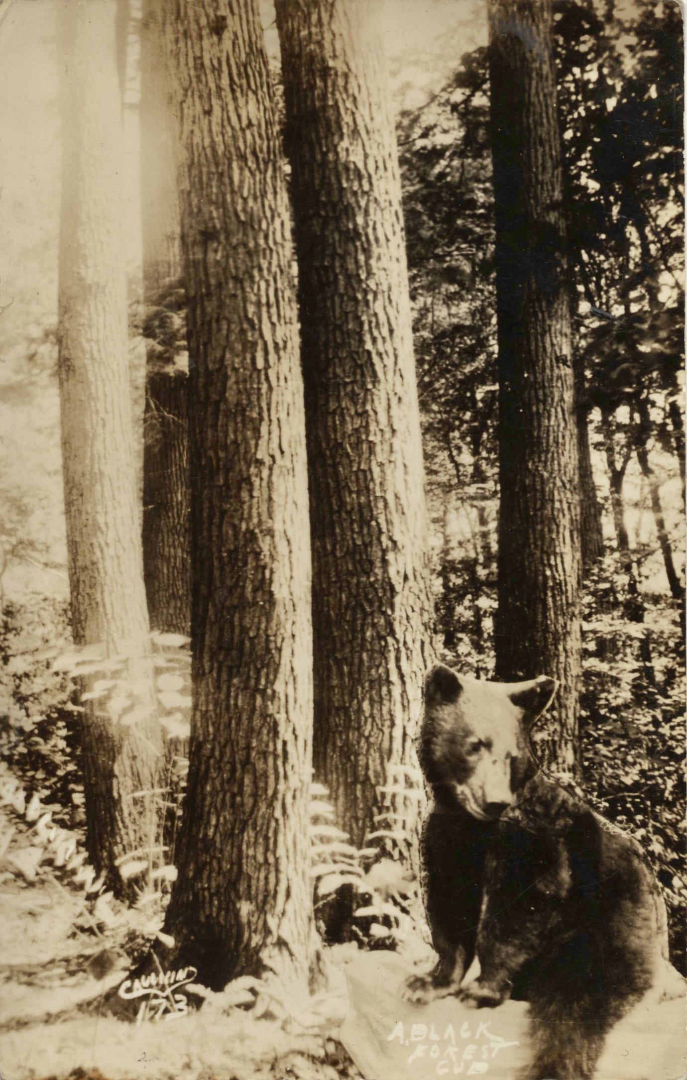
The only bear sighting I had the entire PCT was just after Kennedy Meadows (South) on about Day 47. A bear woke me up in my tent, I made loud noises and it took off fast, like I was a sketchy bad-vibes guy he was warned about in his map-app.
I heard a trail rumor said when the Sierra national parks get a particularly misbehaving or human-loving bear, they capture & release them down to this National Forest, in the wildernesses around Kennedy Meadows. I wouldn’t be surprised if this was one of those Yogis. .
Wildlife - Pikas
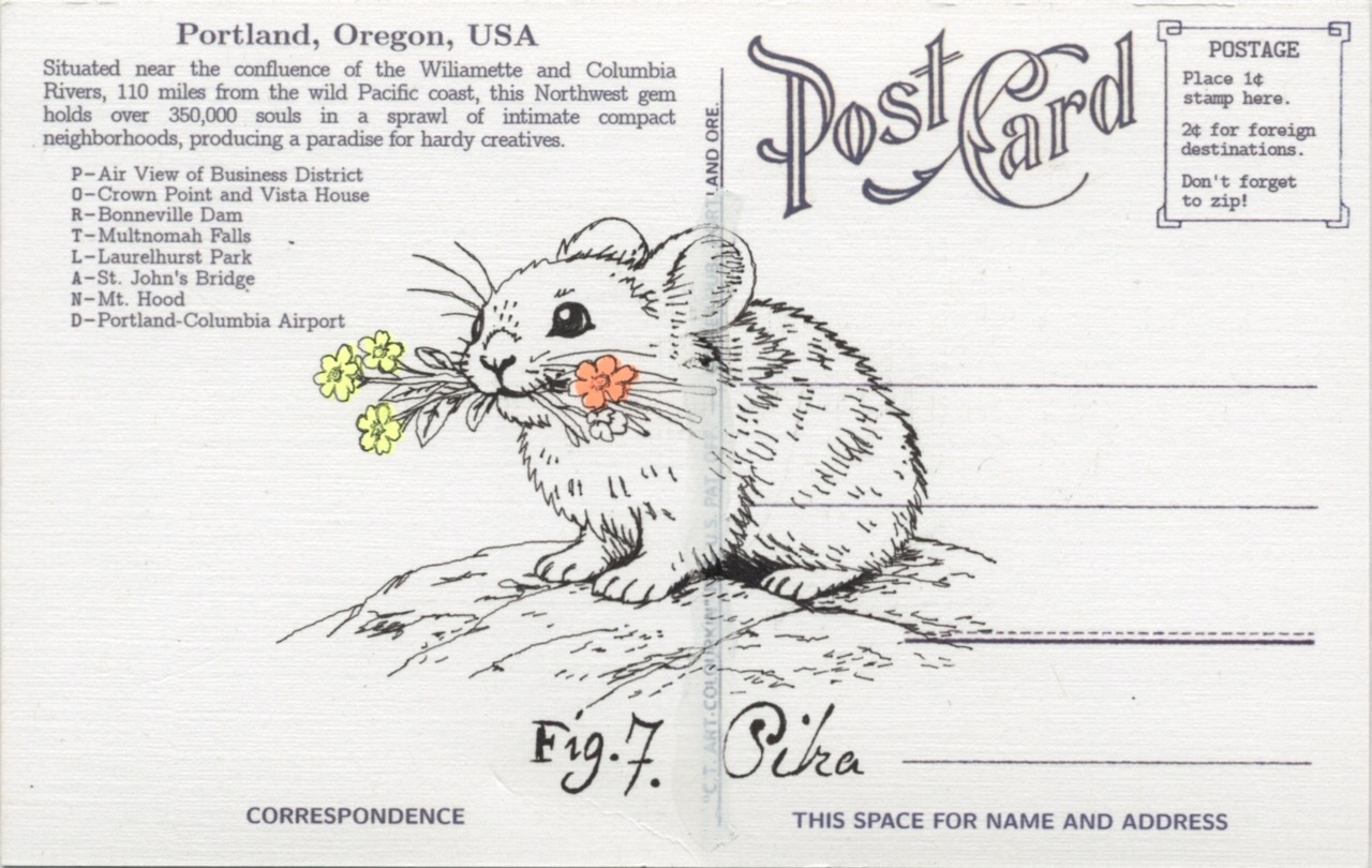
Let me tell you about probably my favorite animal of the trail.
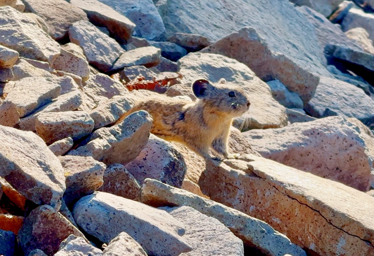
I might have some of the details wrong here, but I think these are mouse-like guys, they only live at high altitudes, above the treeline, among scraggly piles of rock scree. At that elevation, that means they’re under several feet of snow all winter. They don’t hibernate. In the warm season, while we’re walking past them, they collect flowering plants, dry them out, and put them in storage in their burrows. They have an “alert” sound, where they peep, letting others in their group know someone random, possibly a predator, is nearby. They’ll often have one pika quite visible on a rock outcropping, at a safe distance, usually above, watching you and peeping on behalf of the rest of the colony.
That means, as you’re hiking up at those high altitudes, along the alpine meadows, passing those lichen covered zen rock piles, you hear the cutest peeps and see these guys running around with bouquets of flowers in their mouths, watching you.
Cutest thing ever.
The “peep” warning noises sound a little like sneezes. I heard that this is what Pikachu is based on. They look quite similar, except for their color and ear shape. If you google it, the creators of pikachu say it’s just a coincidence, but that didn’t stop me from telling every child I passed to be on the listen & look out for real pikachus.
Wildlife - Nighthawks
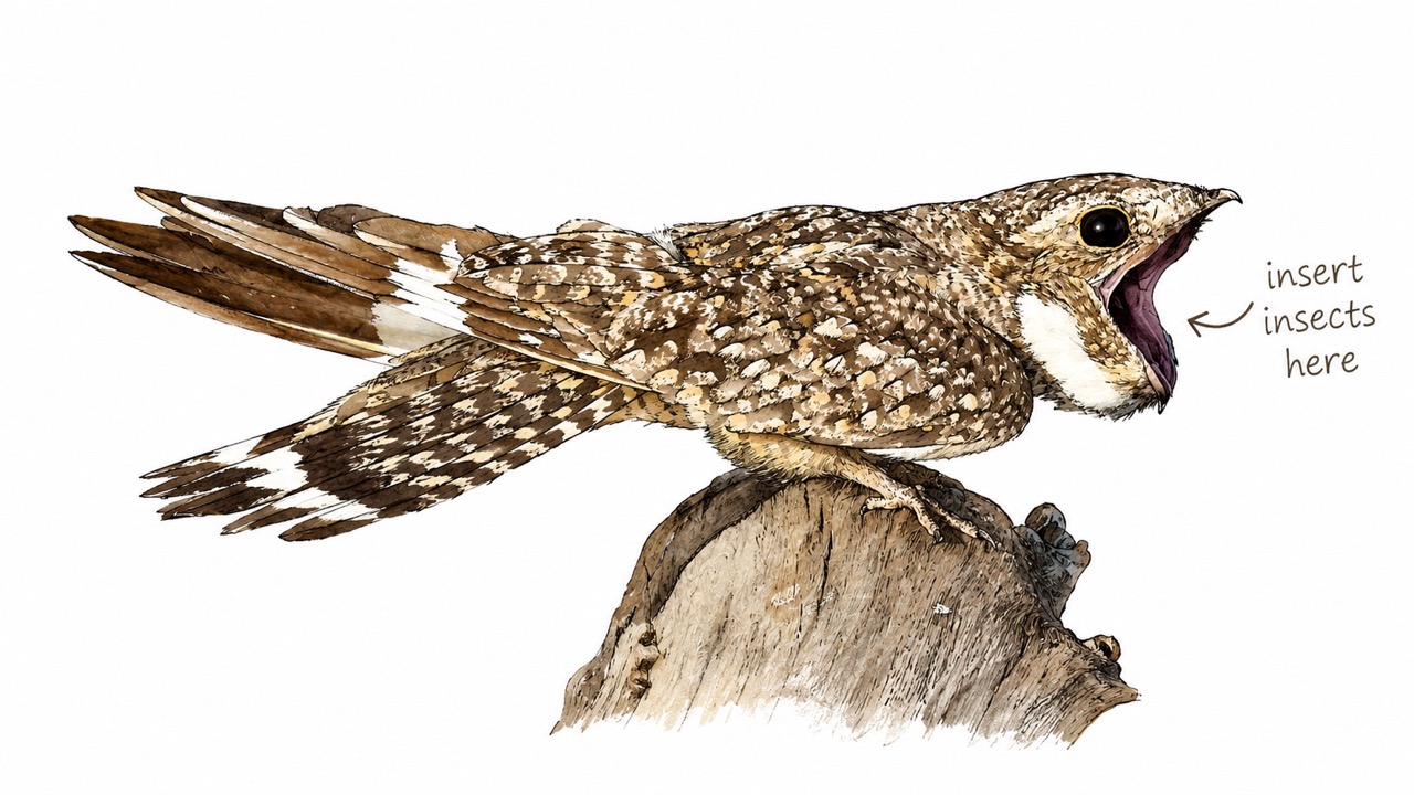
Why didn’t anyone tell me about nighthawks?! I used to hear that word and picture the Hopper painting (the diner one, about solitude or boredom, anomie and the alienation of city life), or the old diner in North Portland.
Now I think of that one night camping at the edge of Lassen NP, Day 95, these strange looking birds swooping all above my tent in the dark, making these deep, otherworldly booming sounds. The sound is wild. Males make a resonant boom mid-dive — not their voice, but their wings — as part of their courtship display. Google the sound they make, it’s very strange to listen to, just above your tent, as you’re trying to go to sleep. It’s loud.
They gorge themselves on bugs all night long with these tiny beaks that open to massive wide mouths. And then you learn they migrate all the way between the Amazon & Oregon, every year. Insane range for a bird that small, & something I’d never known was happening overhead all the time.
Wildlife - Sasquatch
The North Cascades are a whole other world.
Most mornings, climb high enough and you look out onto a vast white blanket stretching to the horizon, mountain peaks poking up like islands on a white fluffy ocean. The fog often clears by afternoon. This stretch gave me several days of heavy smoke, then a series of thunderstorms rolled through clearing the skies — which, honestly, despite the thunder and wet, was a fair trade. Clouds quietly pouring over ridges in what looks like slow motion, but it’s all live, just really big and far away. They call those atmospheric landscape layers “landskein.” It stops me cold every time.
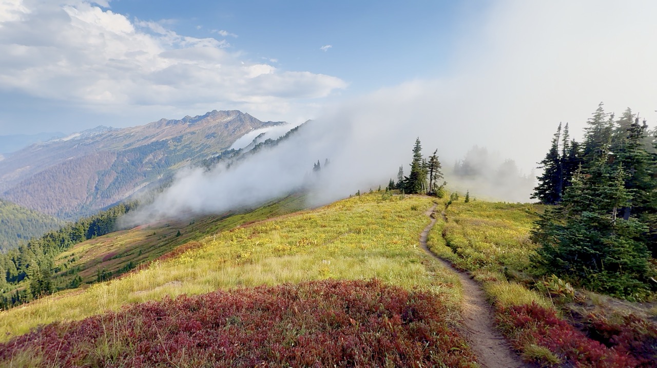
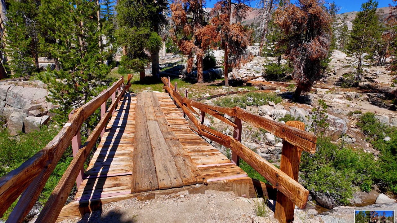
The trail then dips down into those fog filled valleys, the mist gradually blocks out the sun and obscures the forest growing more and more thick the further you descend down into these lush, green, moist valleys. Strange dreams in those valleys. Old growth forest miles from the nearest old unmaintained road or trailhead. There were some with the biggest mushrooms I’ve ever seen. Imagine looking out, and a foot-deep ground layer of that “fairy forest” moss covering everything. One valley had a bunch of small wooden bridges installed ages ago, to help you quickly pass over the many streams coming down from Glacier peak. Nearly every single bridge had deteriorated so much, with rot eating the wood, they were lying in pieces for me to climb over, and slip & slide down.
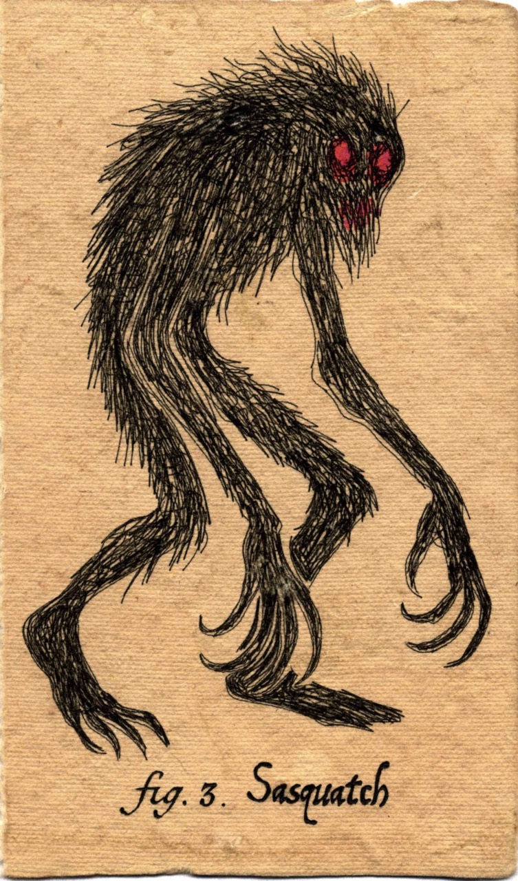
During a rough thunderstorm near Glacier Peak, I dreamed about this guy — See Figure 3. He wandered around the forest making no noise, but I could sense him, poking around my tent, and checking out my soul. … Now I dream about him every night. In my dreams he wanders Portland, jumping rooftop to rooftop, with a murder of crows circling above him. A big black cloud follows, keeping him in the shadows. He watches. Whenever there’s crime or villainy, he experiences it like a gut punch and flies toward it to help.
I wake up tired and sore. Sometimes drenched in sweat. I’m reminded of a line in John Muir’s My First Summer in the Sierra — where he writes about wanting to work his first summer as a shepparder in 1869 — working his way through the Sierra foothills, to Yosemite valley and Tuolumne meadow to Mono lake, he daydreamed about being able to continuously wander those pretty lands without having to earn a living. “I was longing for the mountains … but money was scarce and I couldn’t see how a bread supply was to be kept up. While I was anxiously brooding on the bread problem, so troublesome to wanderers, and trying to believe that I might learn to live like the wild animals, gleaning nourishment here and there from seeds, berries, etc., sauntering and climbing in joyful independence of money or baggage…”.
Honestly, maybe Sasquatch has it right. It might be kinda cool to be able to just live off the land, out there in that wilderness forever, foraging on hiker souls or whatever that dream meant.
Wildlife - The Positive Potato
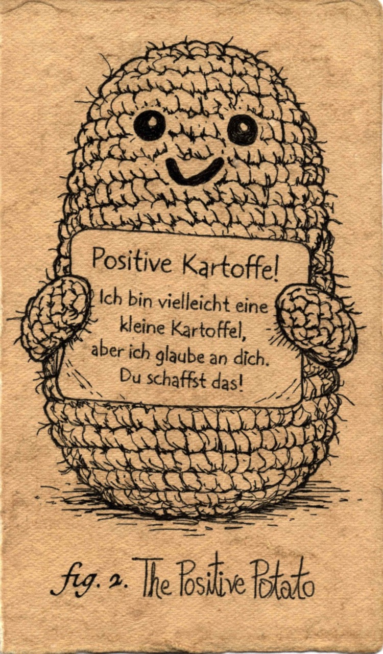
In a particularly dry desert, Day 42, I had just refilled water with these blue five gallon bottles trail angels cache, late in the day pushing up a hill I found a small, smiling amigurumi potato on the trail. It was crocheted from brown yarn. It had German text printed, saying “I’m the Positive Potato. I may be a small potato, but I believe in you. You can do it!!” I thought that was an amazing find, a mascot I’ll need to carry to the northern terminus. But then, before going to sleep, I checked the map-app comments and saw someone reported losing their crochet potato. They’d “love to get it back”, and listed a number.
So, obviously, I sent them a video, where the potato bounces and my voiceover says, “Hello my friend… Or should I say, my old friend….When you abandoned me on the trail, it has been hard for me to stay positive. I had to fend for myself. Face down in the dirt….I was always there for you, trying to keep your spirits up on your journey. But where were you when I needed you? …I have found a new hiking family. They rescued me from the hole I was in, cleaned the dirt out from my mouth. …And my new partner seems to love me. And he is a generous lover (purely platonically, of course). … It will be a struggle to reunite with you. It’s hard to forget painful pasts. …But perhaps we can find a way to start again?… I may be able to forgive you, but I will always remember your betrayal — and for that… I am an absolutely positive potato.”
And then the Positive Potato listed ransom instructions. I demanded ice cream.
Reunited at Kennedy Meadows — where I unknowingly & ominously sent a “proof of life” photo with a pile of french fries in the background — I learned a German friend made (bought?) the amigurumi guy as a mascot for a nice hiker. I never got my ice cream, but I think I can still be positive about the experience. And honestly — handing the potato back, the CLEEF prophecy came true: I cried myself to sleep several nights, thinking about my lost mascot. And not even getting any ice cream! Sometimes the trail provides, but it’s just providing for other people, not you.
Coming to an End
So, what do the data say? Well, da data do seem to suggest I hiked far and long, spent a lot of time outside, and had a heck of a time. (But the sample size is just one, so…)
There’s a moment in that Ken Burns’ National Parks doco where a Yellowstone ranger talks about his winter snowmobile mail delivery route, stopping in a snow covered meadow to watch a herd of bison, just being. He goes on and on about watching their breath hanging in the cold air, intermixing with his. Feeling meaning & connection from that. I think he goes on about how scattered across these wilderness areas are all these priceless moments, an infinite universe of these perfect places & moments, each one requiring just enough effort from you to go find & experience it. Or just know they’re there without anyone watching. (I have a suspicion he might have been high while derelict in his duty to the US Postal Service, his trail name would absolutely be something like “Shower Thoughts.” But that’s beside the point.) I thought he sounded so absurd romanticizing what’s basically just a frozen field with cattle chilling. But I hate to admit it — to be this so emotionally vulnerable & sincere — I’ve spent enough time in the wild now to say it: Ranger Shower Thoughts was right. I owe him an apology as much as he owes the NPS a drug test.
Reviewing my trail journal has been interesting. I certainly wasn’t writing anything as thoughtful and vivid as something you’d see in a Ken Burns doco. I wrote a lot about the daily pain and discomfort. The funny thing is: the diary documents how much everything annoyed me, and my memory proves how little that part mattered. I wrote down all the daily indignities: the blisters, sunburns, chafing, sore ankles, knee pops, poo stuff, fires, smoke, heat, moist, mosquitos, the whole catalogue of “Dear Diarrhea.” But if I hadn’t logged it, I honestly wouldn’t remember most of it today.
What I do remember is how pretty the wilderness is, and how much fun I had experiencing it for months. Night hiking into the sunrise, particularly watching the sun come up over the desert, the otherworldly mountain ranges. The trail started more challenging than I thought it’d be, and later it got simpler. Ten years of anticipating this trip, and it went more or less as planned. What more can you ask for?
Not easy, exactly—just… normalized. Wake up, pack up, walk. Manage the weather. Manage the water. Listen to a great story or learn something new. Put in the miles. Set up camp, eat, sleep. Get fit. The trail eventually stopped being a novelty and became a job I’m quite good at. And somehow that’s when it got good in a different way. I remember after months on the trail, I experienced basic comforts differently. Pulling into Stehekin -- soaked, tired, climbing into the yellow old school bus shuttling hikers to the bakery and town — I accepted that the true wonders of the modern world aren’t skyscrapers or spaceships – They’re basic urban infrastructure and consumer goods, like the ability to get a hot shower, drink hot cocoa, clean & dry clothes, a warm dry place to sleep. Really appreciating that idea.
And funny now, how I’m sitting in temperature controlled comfort, watching rain out the window, not a week goes by that I don’t pull up google earth and look at the PCT or some other wilderness trail I’d love to get to (and presumably be freezing, sore and uncomfortable in).
Was it the “physical, mental, and emotional experience of a lifetime”? Well, no, probably not. One of the best vacations I’ve ever had, certainly.
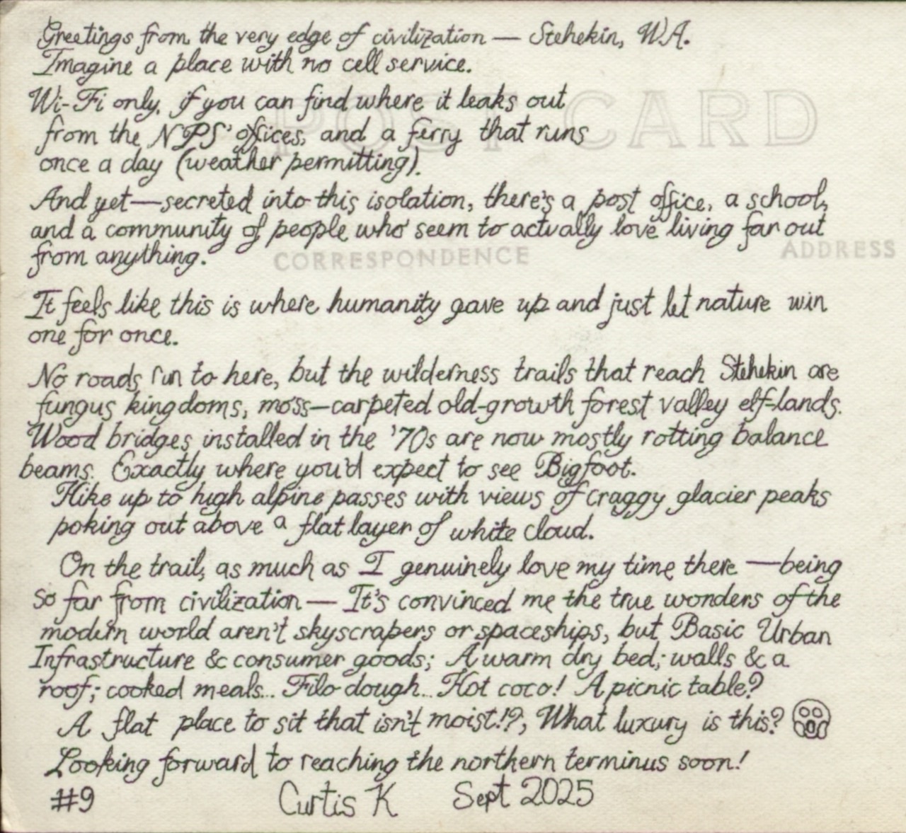
Greetings from the very edge of civilization — Stehekin, WA.
Imagine a place with no cell service. Wi-Fi only, if you can find where it leaks out from the NPS’ offices, and a ferry that runs once a day (weather permitting).
And yet —–Secreted into this isolation, there’s a post office, a school, and a community of people who seem to actually love living far out from anything.
It feels like this is where humanity gave up and just let nature win one for once.
No roads run to here, but the wilderness trails that reach Stehekin are fungus kingdoms, moss-carpeted old-growth forest valley elf-lands. Wood bridges installed in the ’70s are now mostly rotting balance beams. Exactly where you’d expect to see Bigfoot.
Hike up to high alpine passes with views of craggy glacier peaks poking out above a flat layer of white cloud.
On the trail, as much as I genuinely love my time there –— being so far from civilization –— It’s convinced me the true wonders of the modern world aren’t skyscrapers or spaceships, but Basic Urban Infrastructure & consumer goods; A warm dry bed; walls & a roof; cooked meals… Filo-dough… Hot cocoa! A picnic table?
A flat place to sit that isn’t moist!? What luxury is this? 😱
Looking forward to reaching the northern terminus soon!
#9 Curtis K Sept 2025
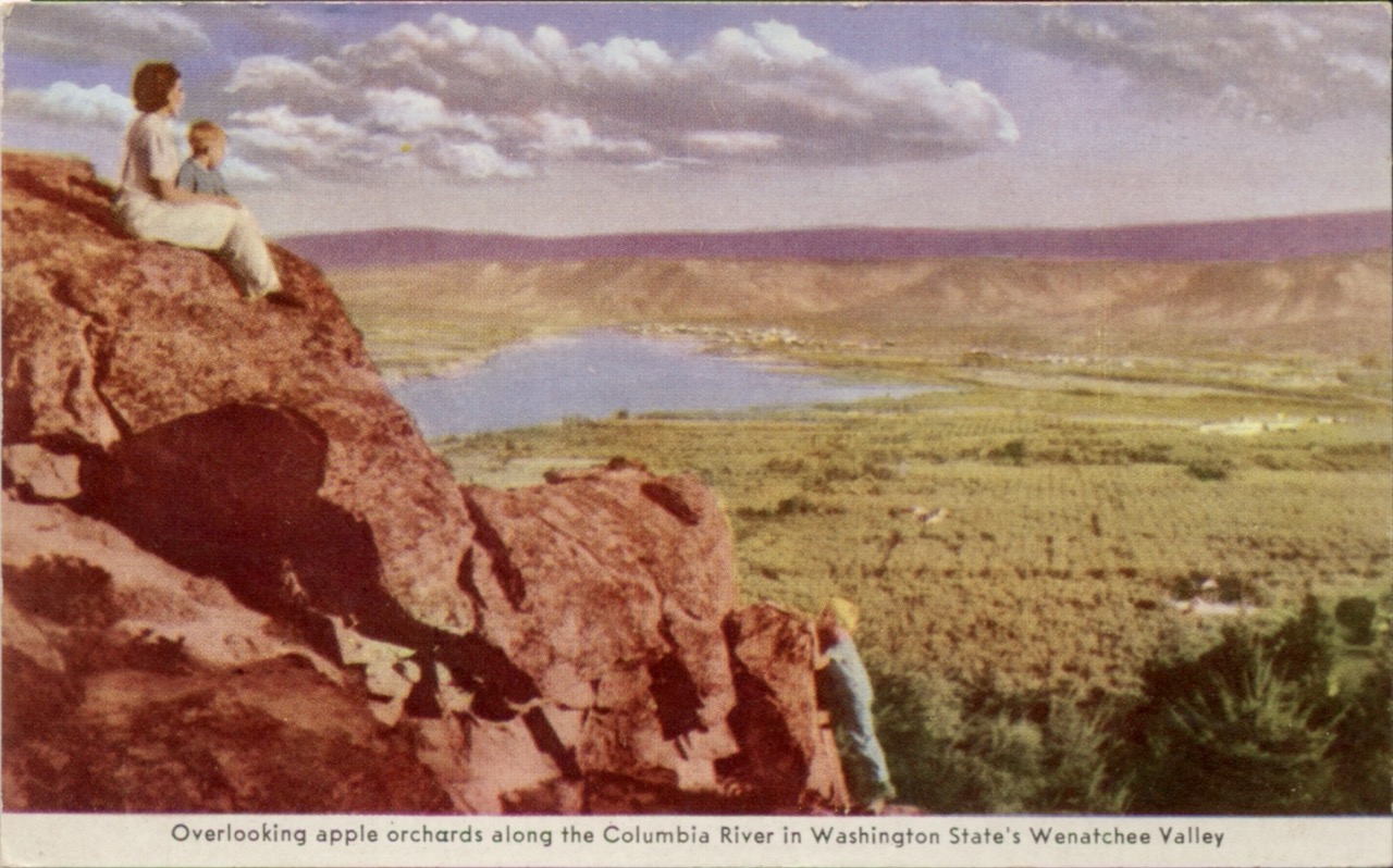
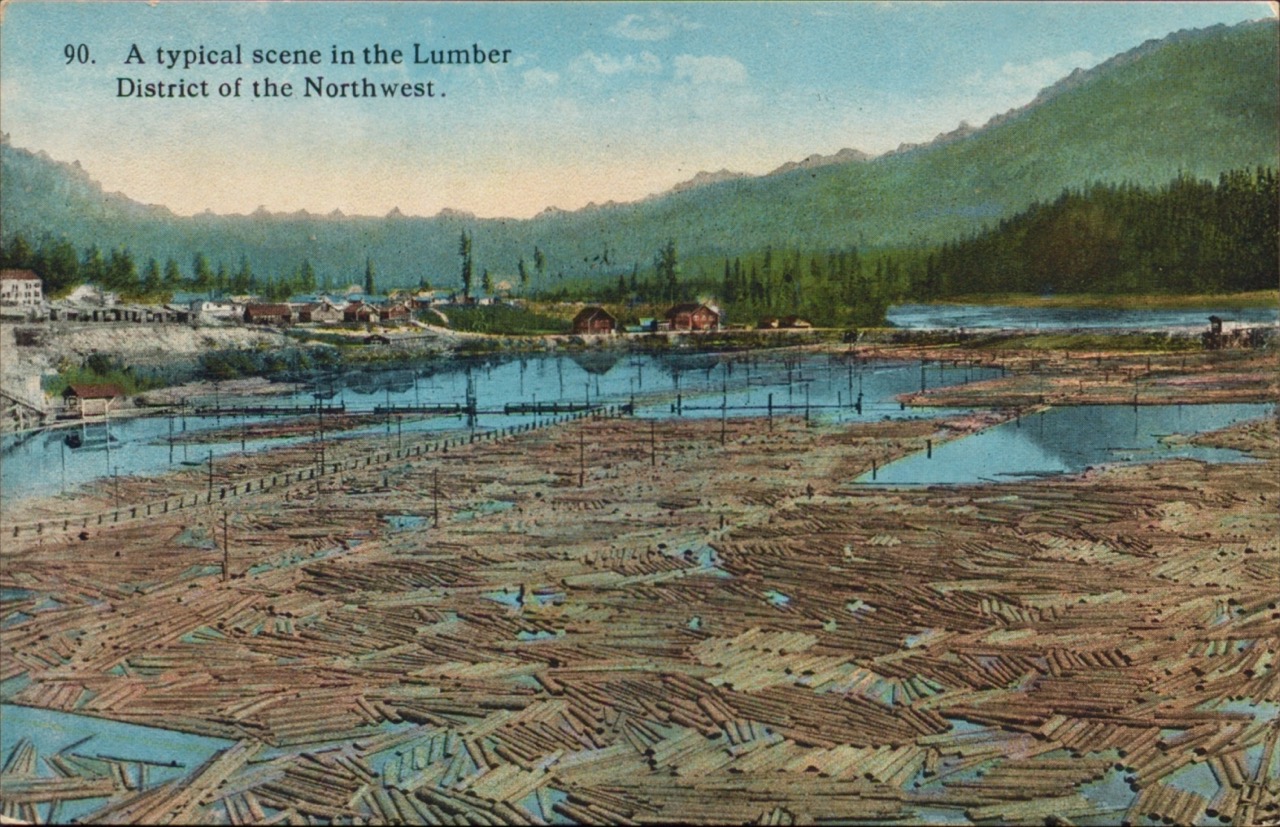
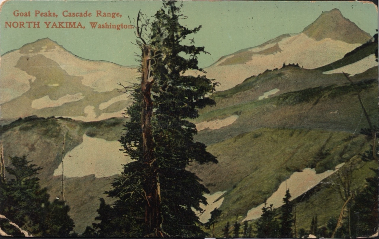
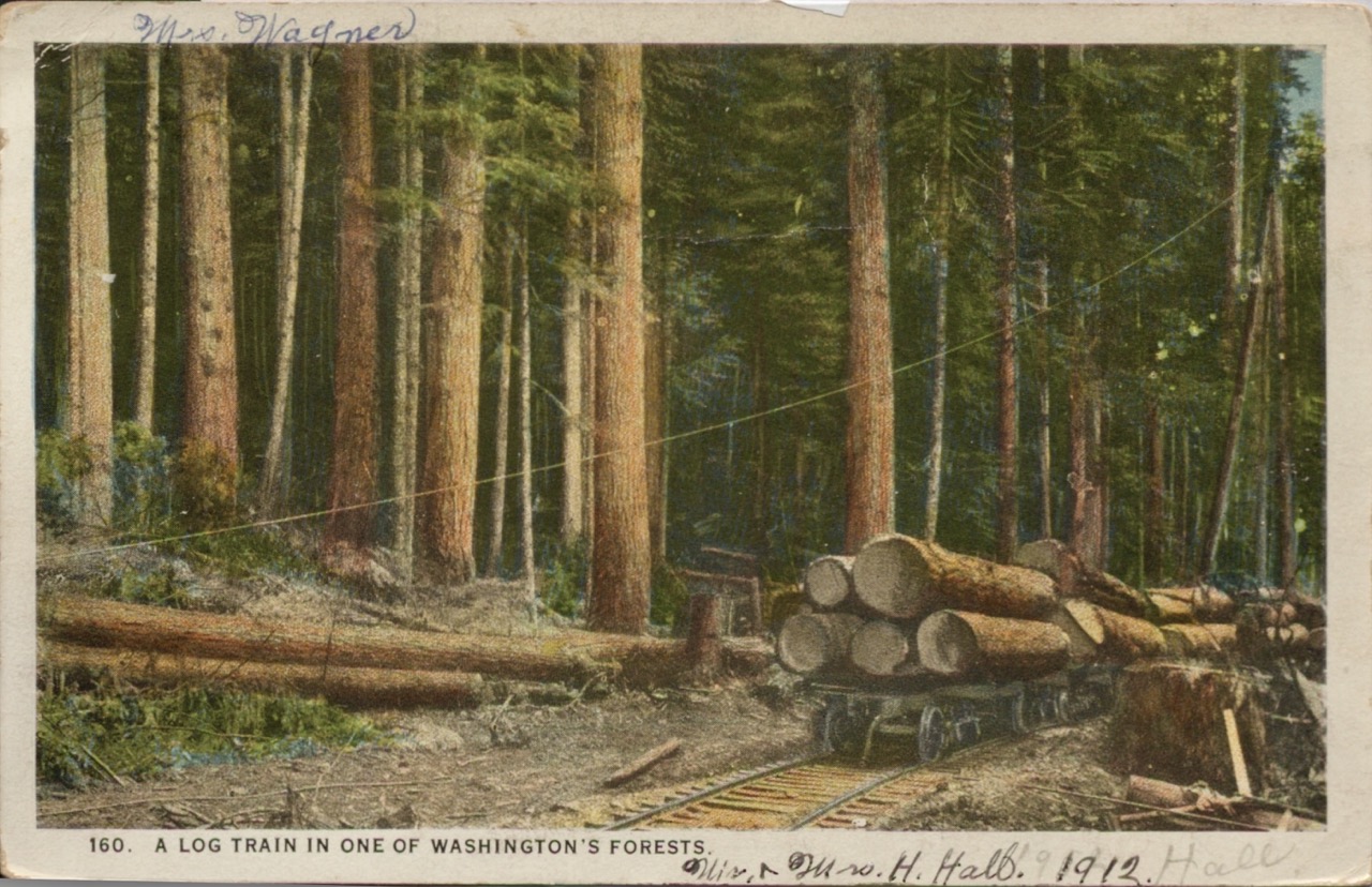
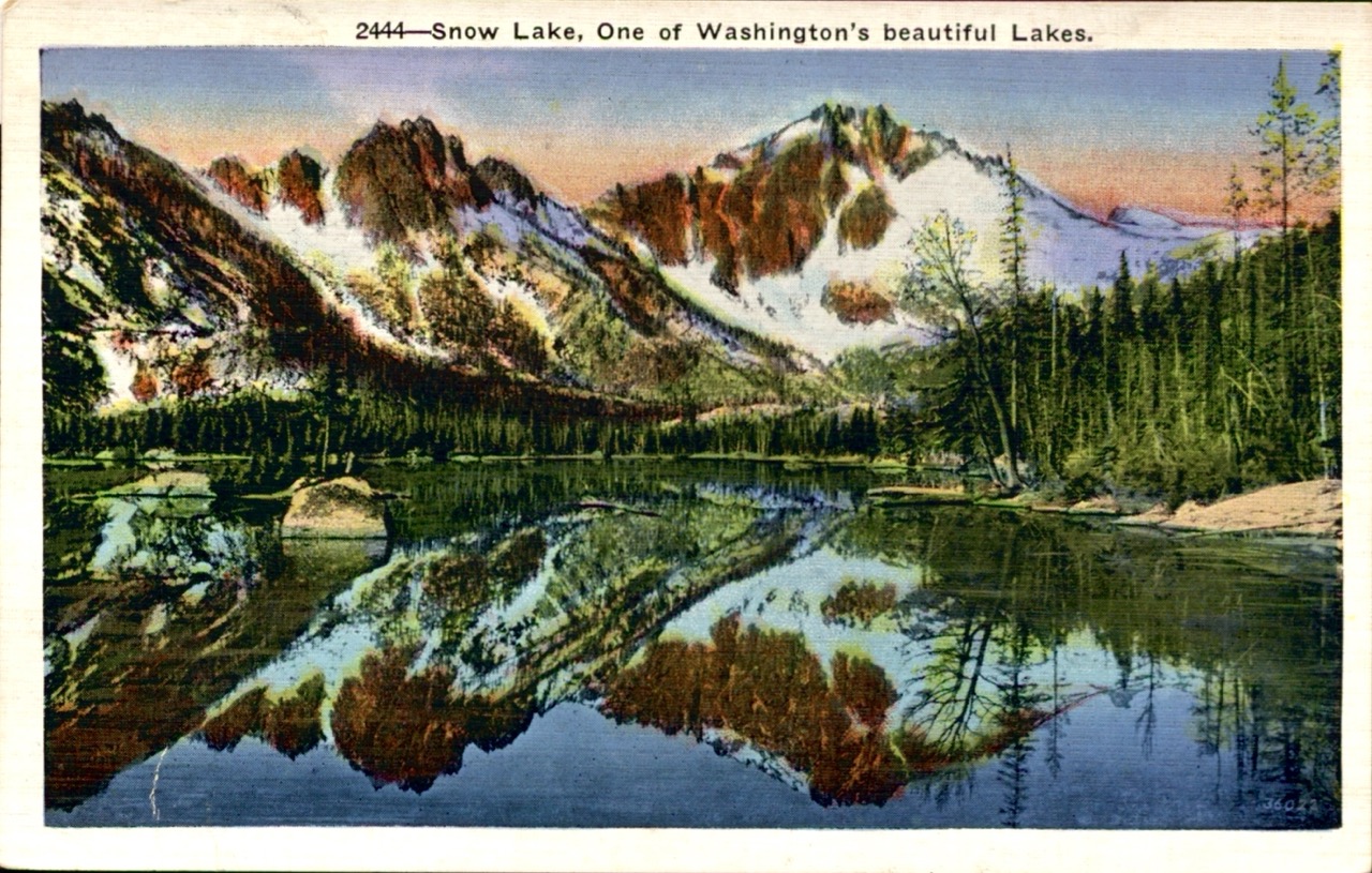
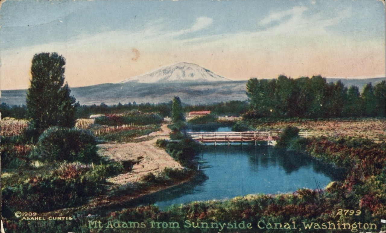
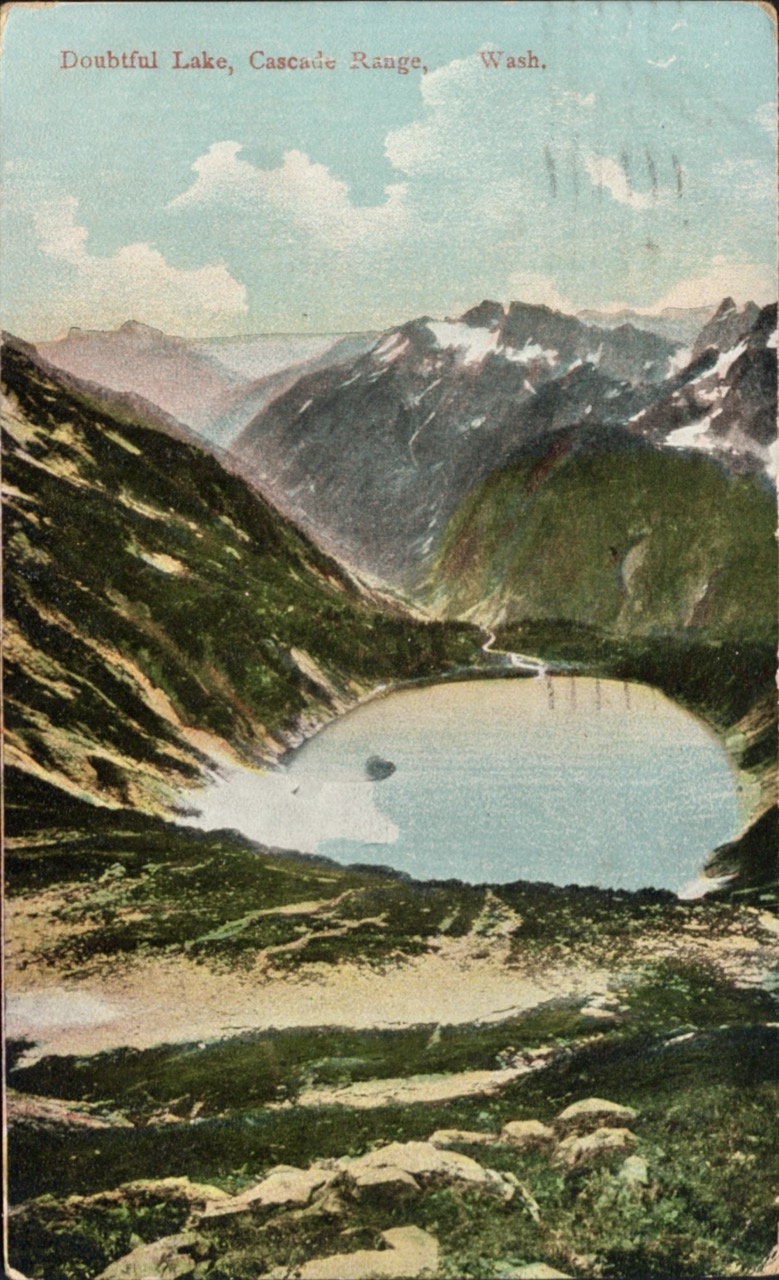
Cherry Chapstick, Part II
Back at CLEEF, the southern terminus on day 0, at the end of their 90-minute orientation chat, they continued their Cherry Chapstick story. There was another hiker suffering from an ailment… I think the medical term is “swampass” leading to “monkey butt”? Sweating and chafing causing his bum to be very painful. Many folks have chafing issues and carry ointment (I certainly always carried “body glide”). This guy was asking everyone he saw if they had anything to help his pain. He went hours in pain. Eventually he found a nice hiker who had some flavored chapstick. Cherry chapstick. He stuck it down his pants, smothered it all around his nether regions, a satisfied look on his face, and said he felt fantastic. He was so thankful.
He offered the chapstick back to the original owner, but the original owner said “No, you keep it, the trail provides.”
Sadly, later, “Monkey Butt” came back in pain, saying he had lost the chapstick! He must have dropped it back down the trail. He took off in pain. Then, another hiker came down the trail telling us his own story of how the trail provides… He had been complaining for days about how painful his lips were, bleeding, no lip balm or anything. And then, lo and behold, he found cherry-flavored chapstick just lying there on the trail. Obviously the universe had left it for him. Before anyone could stop him or tell him where his salvation had just been, he put more on his lips, smothered it all around, a satisfied look on his face. We all decided to keep quiet and suggest he take the trail name Cherry Chapstick.
It’s true, “the trail provides”, but sometimes it comes at a great cost. If you’re lucky, like Cherry Chapstick, you’ll never know that full cost.
Not me though. No costs for me. I just had a nice long walk.
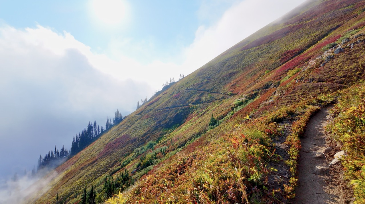
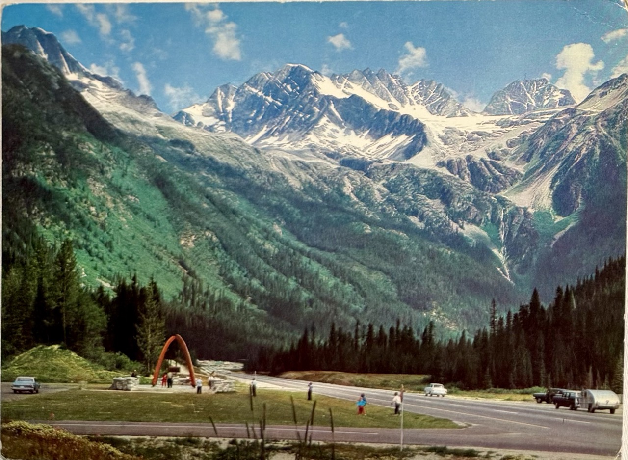
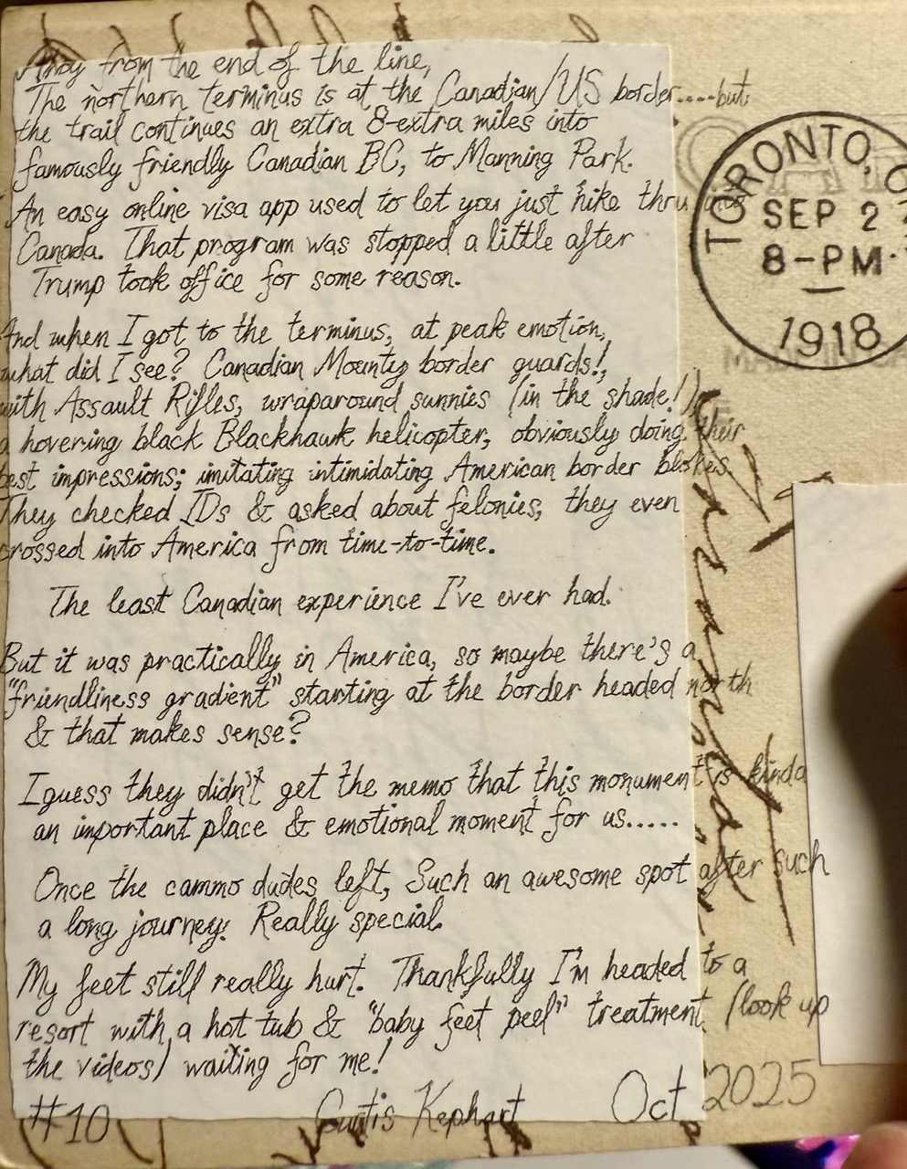
Ahoy from friendly Canada!
The northern terminus is at the Canadian/US border….but the trail continues on extra 8-extra miles into famously friendly Canadian BC, to Manning Park.
An easy online visa app used to let you just hike thru into Canada. That program was stopped a little after Trump took office for some reason.
And when I got to the terminus, at peak emotion, what did I see? Canadian Mounty border guards!, with assault rifles, wraparound sunnies (in the shade!), a hovering black Blackhawk helicopter, obviously doing their best impressions of intimidating American border blokes.
They checked IDs & asked about felonies, they even crossed into America from time to time. The least Canadian experience I’ve ever had. But it was practically in America, so maybe there’s a “friendliness gradient” starting at the border headed north & that makes sense?
I guess they didn’t get the memo that this monument is kinda an important place & emotional moment for us….
Once the cammo dudes left, Such an awesome spot after such a long journey. Really special.
My feet still really hurt. Thankfully I’m headed to a resort with a hot tub & “baby feet peel” treatment (look up the videos) waiting for me!
#10 Uncle Curtis OCT 2025
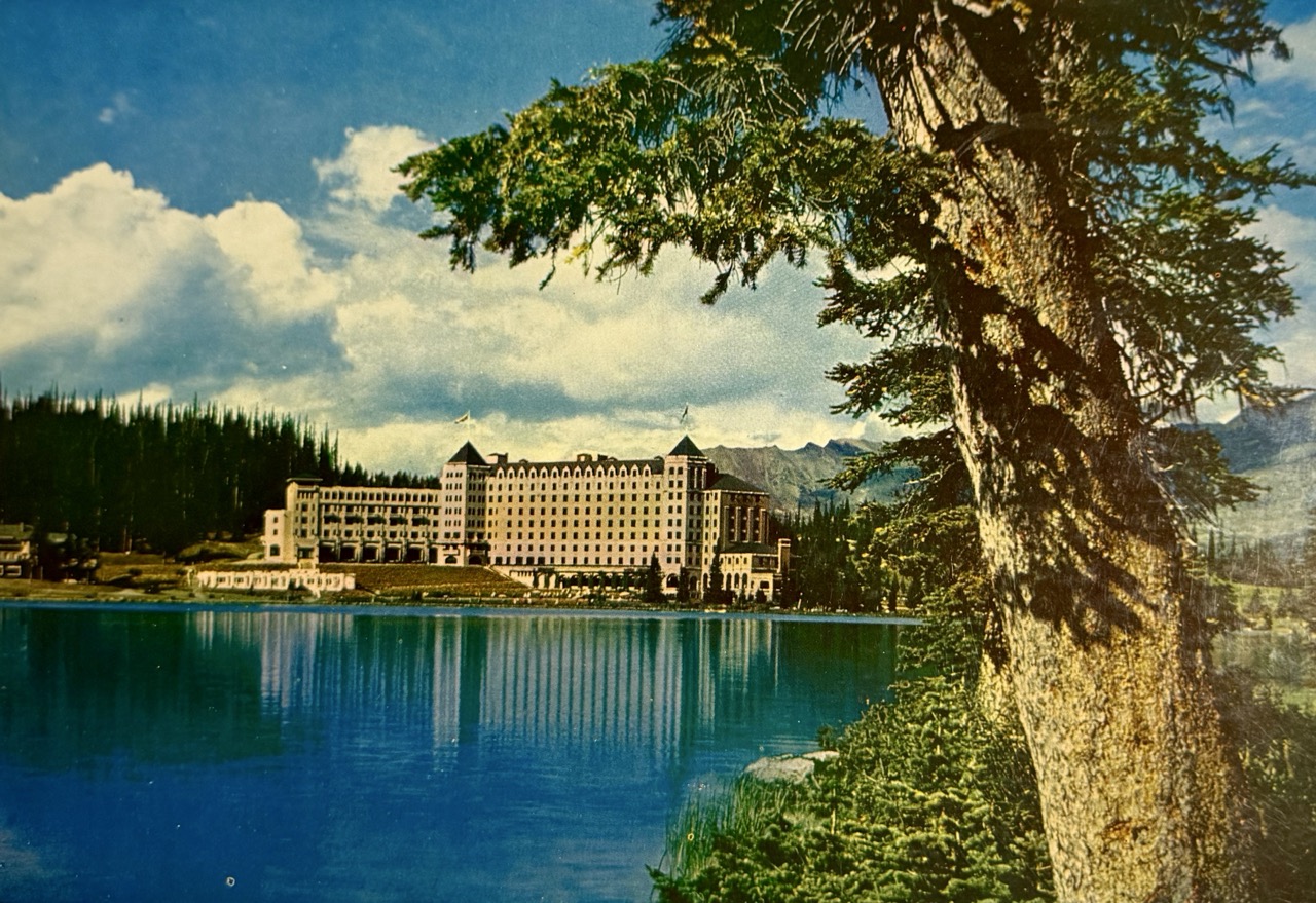
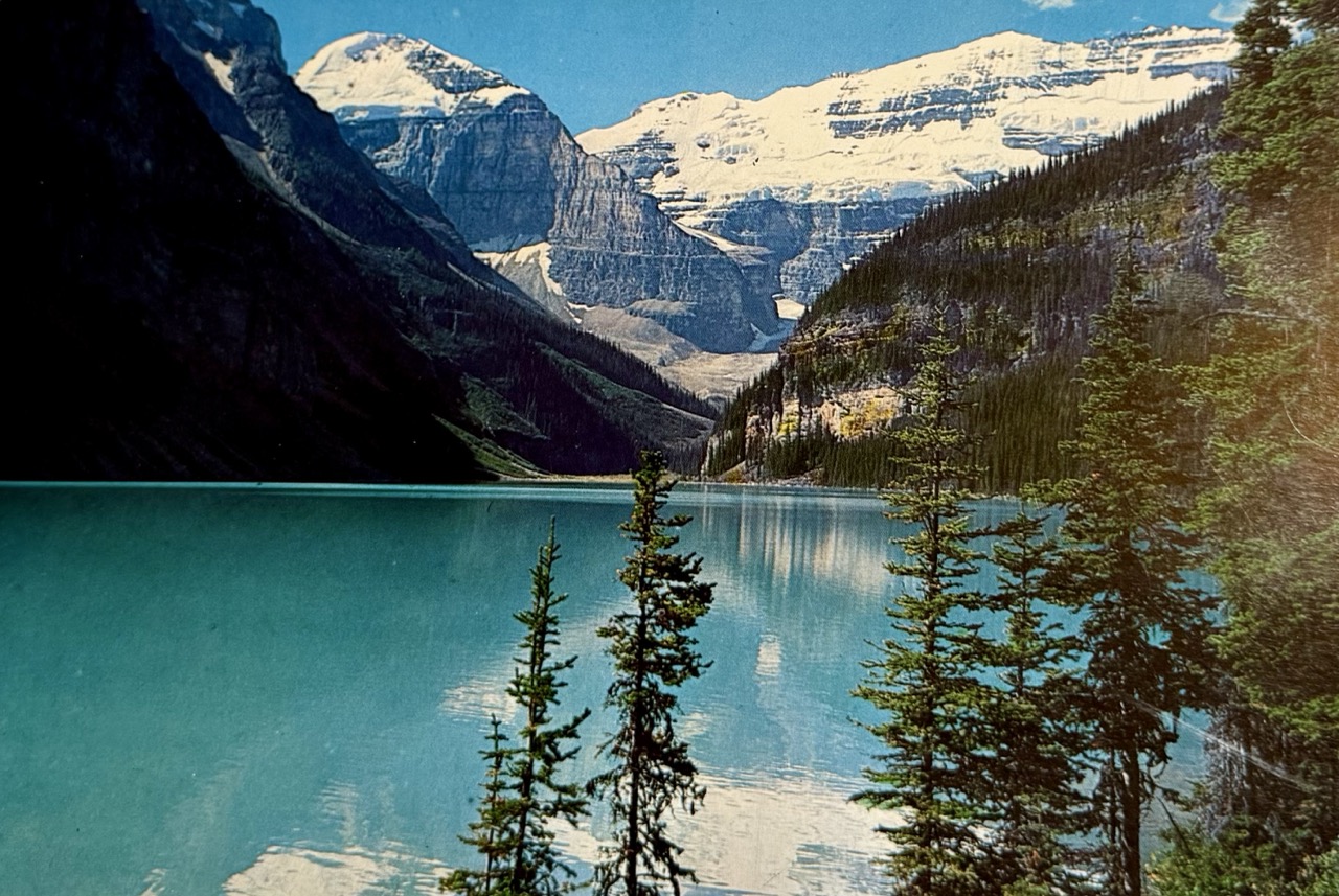
Footnotes
A desert emergency helicopter medivac. May 11 2025 at about 12:53 PM.↩︎
And after 2025, the Timberline Lodge just canceled their all-you-can-eat buffett.↩︎
Flying Dutchmen helicopter medivac out from Duck Pass, near Mammoth Lakes.↩︎
Repugnant Markets and How They Get That Way, by Martha Lagace, featuring Alvin E. Roth. HBS Working Knowledge, Harvard Business School, July 30, 2007. Which itself cites Repugnance as a Constraint on Markets, by Alvin E. Roth. Journal of Economic Perspectives, 21(3), 37-58. 2007.↩︎